NPS Photo/Cookie Ballou 
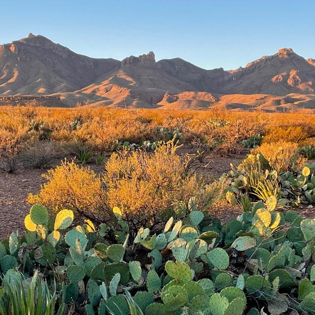
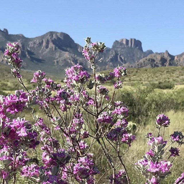
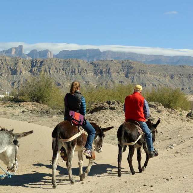
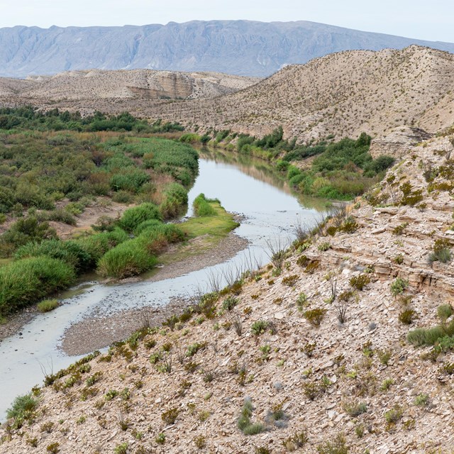
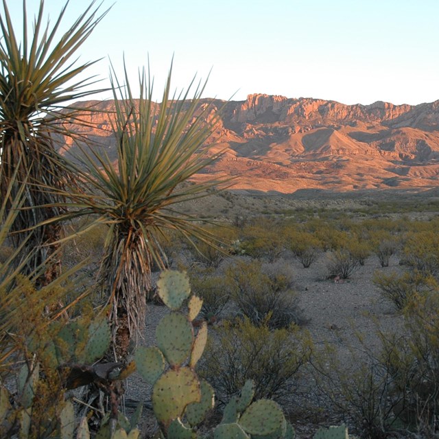
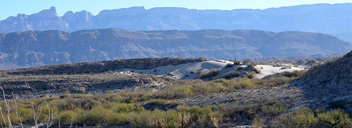
With these words, President Salinas realized a dream that had been shared by people on both sides of the United States/Mexico border for many years. Long before the border region came into political focus, residents clearly understood that their shared ancestry, history, and economics often blurred the existence of the international boundary. The shared dream of people along the Rio Grande was a protected area that would preserve the land on both sides of the international border. Big Bend National Park had good reason to celebrate the establishment of Mexico’s protected areas. Big Bend National Park shares the border with the Mexican states of Chihuahua and Coahuila and is responsible for managing thirteen percent of the entire border between the United States and Mexico. With its mission of protecting natural and cultural resources for future generations, Big Bend National Park welcomed the protection of the resources south of the Rio Grande. From the beginning, the idea for a protected area in the Big Bend region was viewed in an international context. In 1933, the Alpine, Texas, Chamber of Commerce proposed an international park on the United States/Mexico border and commissioned a landscape architect to conduct studies and prepare plans. On February 16, 1935, U.S. Senator Morris Sheppard of Texas wrote to President Roosevelt proposing an international park in the Big Bend region. On June 20, 1935, Congress authorized the creation of a Big Bend National Park. The park was officially established on June 12, 1944, after the state of Texas acquired the property and transferred it to the National Park Service. However, Big Bend National Park was only part of the larger plan for an international peace park. It would be up to Mexico to establish a park south of the border. On June 22, 1935, only two days after Big Bend National Park had been authorized by Congress, Secretary of the Interior Harold Ickes asked Secretary of State Cordell Hull to contact Mexican officials and solicit their support for an international peace park. In the fall of 1935, two meetings were held in El Paso, Texas, regarding the international park. Mexican and United States officials appointed a joint commission to investigate the proposal and recommend boundaries. The studies conducted by the commission revealed that the Mexican scenery, wildlife, and vegetation were equal, if not superior to, those on the American side. This was a fact recognized not only by government agencies, but by many others working in the environmental field in Mexico. Many non-governmental organizations such as Protección de Fauna (Protection of Wildlife) of Saltillo, Coahuila, fought for protection of the Sierra del Carmen. Individuals and organizations also worked for protection of the Santa Elena Canyon area in Chihuahua. While official dialogue regarding an international park continued over the decades, numerous obstacles forestalled the establishment of the protected area in Mexico. In Mexico’s governmental system, elected officials are limited to one six-year term in any office. Since newly elected candidates had little incentive to continue projects left by the previous administration, the establishment of the protected area had to be accomplished within a single term of office. Cultural differences, distrust, private land interests, economics, and more demanding domestic and international issues such as World War II also delayed the establishment of a protected area in Mexico. But the unique natural beauty of the land south of Big Bend National Park could not be ignored. The mountains south of the Rio Grande contain an even greater diversity of flora and fauna than those north of the border. While only ten square miles of the Chisos Mountains in Big Bend National Park lie above 5,500 ft., over 100 square miles of the Maderas del Carmen lie above that elevation. Animal life, like the plant life, topography, and geology, is similar on both sides of the border, although the Mexican black bear and certain other mammals and birds are present in greater numbers in Mexico. Wild turkeys, rabbits, coyotes, gray fox, bobcats, ringtails, and skunks are all found in these ecosystems. White-winged doves, mourning doves, and quail are found among the over 450 species of birds that make their home in this part of the Chihuahuan Desert. The sheer value of these natural resources would help to drive the eventual establishment of the three protected areas in Northern Mexico. Since the establishment of the Maderas del Carmen Protected Area for Flora and Fauna and Ocampo Protected Area for Flora and Fauna in Coahuila, and the Santa Elena Canyon Protected Area for Flora and Fauna in Chihuahua, the two states in Mexico have developed management plans for each area. Each state has hired a director and a few staff members. Big Bend National Park and the National Park Service U.S.-Mexico Affairs Office have collaborated with Mexican officials to share research and experience in managing a protected area in this ecosystem. Although in their infancy, the Mexican protected areas south of Big Bend have a bright future. Since the 1990s, the discussion has changed from the concept of an international peace park implying cooperative management under a United States National Park Service model to the concept of “sister parks” or “bi-national parks.” Each area will be administered under its own management plan while also providing many opportunities for joint management of shared ecosystems and resources. What will be the future relationship of these neighboring protected areas on the United States/Mexico border? Only time will reveal the exact outcome. No matter what the future brings, the Chihuahuan Desert ecosystem along this part of the international border now enjoys the environmental protection afforded by two countries that share the common goal of protecting the natural resources of this unique region.
|
Last updated: March 31, 2023

