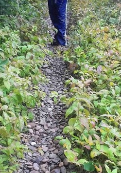
NPS/Keweenaw National Historical Park
The current land mass of Isle Royale is the result of a geologic syncline (a fold in rock layers) that formed the Lake Superior basin. One end of the fold forms Isle Royale, while the other forms the Keweenaw Peninsula. There are two major bedrock formations on the island: the Portage Lake Lava series, covering about 85% of the island, and the Copper Harbor Conglomerates, covering about 15% of the island. These geologic formations were modified by four glacial periods, with the last ice-advance occurring some 12,000 years ago. This ice-advance altered the ridges and valleys, leaving a relatively thin mantle of glacial deposits, which are only a few inches to about 4 feet in depth. The thinnest deposits are usually located near the present day shorelines of Lake Superior. As the glacier retreated from the Lake Superior basin, its subsequent melt waters began to create many distinct lakes.

Valerie Martin The soils of Isle Royale are greatly influenced by their parent material (bedrock), climate, vegetation, chemical changes, time, and by the activity of earthworms and other living organisms. Changing lake levels and deposition of soil components by wind are also important factors that modify soils on the island. Lowland soils comprise about 20% of the island. They are typically over four feet in depth, are generally very poorly drained, and are formed from woody or herbaceous vegetation. Upland soils comprise most of the soil deposits on the island. They are usually well-drained on the ridges, with deeper soils on the more gradual south slopes and shallower soils on the steeper north slopes. Hiking trails often traverse the many places where bedrock is exposed and there is little or no soil horizon. |
Last updated: October 10, 2019
