Find Existing Research & DataIf you are interested in seeing past research projects at Acadia, you can find a complete and searchable inventory of all park research at the Integrated Resource Management Applications (IRMA) Portal. You can also check out our Science News page to find the latest in research activities. Explore the research areas below to find research highlights.
Historic & Cultural Research
Explore highlights of research on anthropology, ethnography, archaeology, historic structures, cultural landscapes and more. 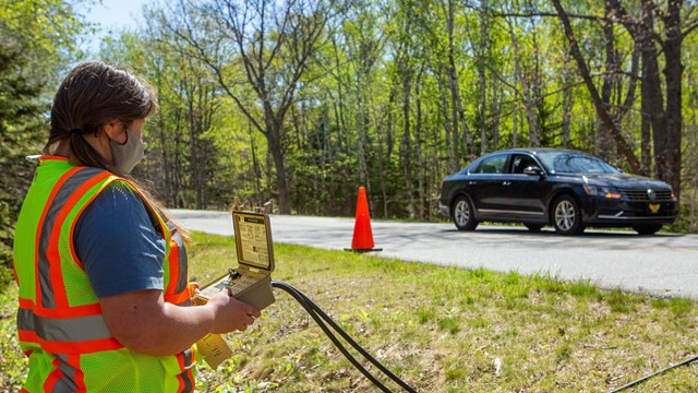
Social Science Research
Find research reports on the many ways Acadia studies how humans impact the park, from restrooms to roads. 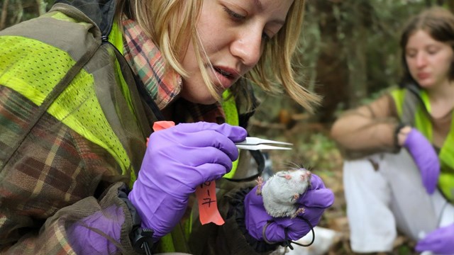
Wildlife Research
Find research reports on bats, beavers, deer, seals, birds, invertebrates and more wildlife at Acadia. 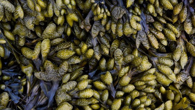
Pests, Diseases, & Invasives Research
Find research reports on pest, diseases, and invasive species 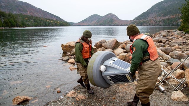
Lake, Stream, and Hydrologic Research
Find research reports on lakes, streams, and hydrology. 
Vascular Plant Research
Find research reports about the diverse plant communities at Acadia National Park. 
Climate and Air Research
Find research reports on air quality and climate change. 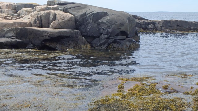
Marine & Intertidal Research
Find research reports on marine and intertidal ecosystems. 
Bird Research
Find important research on birds in Acadia including warblers, peregrine falcons, haws, woodpeckers, songbirds, shorebirds and more. Types of Reports and DataHistoric Data SetsThough the earliest attempts at colonizing and settling the coast of Maine often boasted of first 'discovering' or 'documenting' something new, through thousands of years of relations with the land and sea, the Wabanaki (People of the Dawnland) gained insights about and connected to the natural world far in ways beyond what these European 'explorers' could see. In the late 1800s and early 1900s, a group of citizen scientists called the Champlain Society began the first major European effort at cataloguing and studying Acadia, eventually leading to a call to found a national park. Since then scientific inquiry and ways of knowing have continued to break new ground including the studying of warblers and the reintroduction of peregrine falcons. Investigator's Annual ReportsAn Investigator's Annual Report (IAR) is a form that is filled out on the Research Permit and Reporting System (RPRS). It includes information such as the status of the study (continuing or completed), a brief summary of the status and findings of the project, and if you are collecting specimens, what was collected and where it is being stored until your study is completed. The park uses IARs to track the status, findings, and changes in studies. If you are collecting specimens, the park (as a part of its management responsibility) also wants to know what you are collecting and how you are storing and managing specimens. These reports allow park staff to identify potential opportunities for collaboration or synergies with other efforts in the park and to minimize conflicts and negative impacts to natural and cultural resources, visitors, and other research. Final ReportsFinal reports consist of a report summarizing the purpose, methods, findings, and implications of your study. There is no required format for final reports, although the general format of a scientific paper or report works well in most cases--i.e., introduction, methods, results, discussion, and conclusions or recommendations. You may submit a draft or published version of a scientific paper as a final report. Final reports are circulated among park staff, become a part of the permanent park archives and bibliography, and are posted on the National Park Service Integrated Research Management Applications Data Store. Park managers use these reports to inform management plans and decisions. Additionally, scientists and educators use them to inform research and education programs. GIS DataWhat is GIS?A Geographic Information System (GIS) is a computer system (hardware, software, data, and operator) that can store and analyze geographic data. Features on the Earth (such as roads, buildings, vegetation, soil types, slope, etc.) are represented as points, lines, or polygons, and each feature has a database record attached to it. For example, a building in a GIS data layer might have information about its roof material, siding, the year it was built, what its present function is, how many windows it has, and so on. A polygon on a soil map might have information on the type of soil, slope, permeability, suitability for agriculture, suitability for septic systems, etc. With GIS, maps are easy to update and can be re-printed as information changes. The power of GIS, though, is really in its ability to easily and quickly analyze information that would, using paper maps, be tedious and difficult. Using GIS, you could easily calculate, for instance, the area of wetlands within the park boundary by overlaying the two data layers—wetlands and park boundary. You could use a GIS data layer of property boundaries (tax maps) to quickly generate an abutter’s notification list. GIS can also be used to model such things as the spread of fire or to determine where to locate a new trail or radio tower to reduce visual and environmental impact. GIS at Acadia National ParkThe park has been building a Geographic Information System (GIS) since the 1980s. We have good basic data for the park and surroundings, and research in the park is adding more geographically related data every year. Maps and analyses are routinely made for reports, presentation, fieldwork, and planning by park staff and researchers. The park GIS specialist updates and operates the computer system, maintains the data, produces maps and analyses, helps people understand and use data we have gathered, and develops or acquires new data needed by the park. General DataIn addition to GIS data, Acadia National Park receives data from many sources and generates a lot of its own data. Some examples include:
Submitting ReportsFor help on how to submit IARs and final reports, please see the Help Page on RPRS or email the Science Information and Communications Manager. Explore prior scientific research conducted at Acadia National park below or visit IRMA for more options. Source: NPS DataStore Saved Search 3619 (results presented are a subset). To search for additional information, visit the NPS DataStore. Browse Existing Research |
Last updated: November 1, 2023