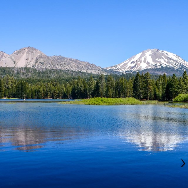
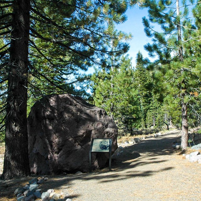
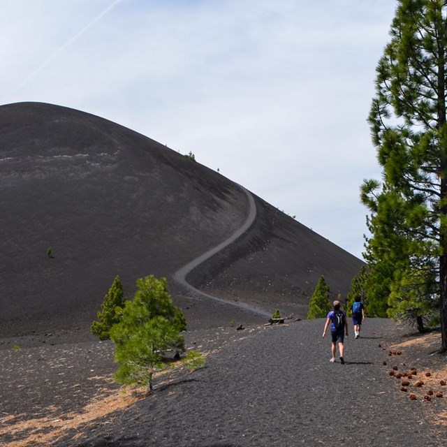
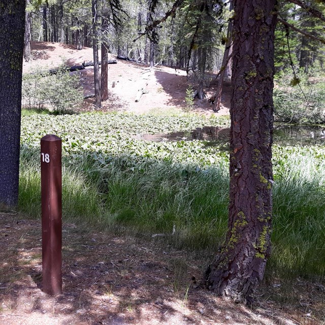
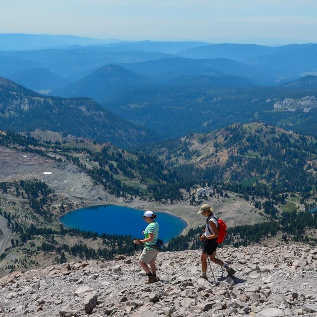
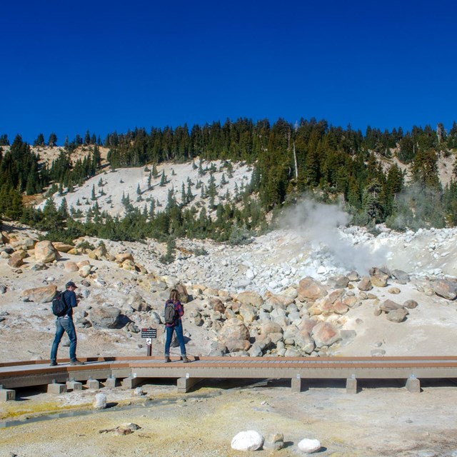
• Lassen Peak from Manzanita Lake

    Lassen Volcanic

    National Park California

  • Lassen Volcanic NP Highway Closed to Through Traffic

    The Lassen Volcanic NP Highway is closed at the Devastated Area (10 miles inside the northwest entrance) and Bumpass Hell parking area (7 miles from the southwest entrance). More »

Hiking

map of park broke into regions for easy location of hiking trails
Regional Map of Park
 

Lassen Volcanic National Park offers over 150 miles of hiking trails for visitors of levels of ability. Discover the devastation of Lassen Peak's last eruption on the accessible trail at the Devastated Area, explore Lassen's largest hydrothermal area on the Bumpass Hell trail, or spend the day climbing Brokeoff Mountain and enjoy its spectacular panoramic views. Please note that winter conditions often persist late into the summer months, and many trails are not snow free until June or July. View current trail conditions below or call (530) 595-4480 for the most up-to-date information.

Download a Loop Trail Distance handout (pdf) | Day Hike Guide (pdf)

Hydrothermal Area Danger
For your safety, stay on established trails and boardwalks. Ground in hydrothermal areas can look solid but may actually be a thin crust hiding pools of acidic boiling water or mud. Traveling off-trail in these areas may result in severe injury. Read more about exploring the park hydrothermal areas.
 

Trail
Difficulty Miles (RT)
Condition
Southwest Area 
Bumpass Hell 
Moderate 3.0 Closed; snow covered
Brokeoff Mountain 
Strenuous 7.0 Snow covered
Cold Boiling and Crumbaugh Lakes Easy/Moderate 2.6 Snow covered
Kings Creek Falls
Moderate 3.0 Snow covered
Lassen Peak Strenuous 5.0 More information
Mill Creek Falls     Moderate 4.6 Snow covered
Ridge Lakes   Moderate/Strenuous 2.0 Snow covered
Terrace, Shadow, and Cliff Lakes Moderate 4.0 Snow covered
Northwest Area

Cluster Lakes Loop
Moderate 11 Snow covered
Crags Lake
Moderate 4.2 No snow
Devastated Area Interpretive Loop
Easy 0.25 No snow
Echo Lake Moderate 4.4 Snow covered

Lily Pond Nature Trail Loop
Easy .5 Clear
Hat Lake to Paradise Meadow Moderate
2.8 Snow covered
Manzanita Creek Moderate 7.0 Partially snow covered
Manzanita Lake Easy 1.8 Clear
Nobles Emigrant Trail
Easy
No snow
Butte Lake Area

Bathtub Lake Loop
Moderate 0.8 No snow
Cinder Cone Moderately strenuous 4.0 No snow
Prospect Peak
Strenuous 6.6 No snow
Warner Valley and Juniper Lake Areas

Boiling Springs Lake Moderate 3.0 Patchy snow
Devils Kitchen Moderate 4.4 Patchy snow
Drake Lake
Moderate 4 Patchy snow
Dream Lake
Easy 1 No snow
Horseshoe Lake Easy 2.8 Snow covered
Inspiration Point
Moderate 1.4 Snow covered
Mount Harkness
Moderate 3.8 Snow Covered


Did You Know?

View of devastated area from Main Park Road.

The 29 mile Main Park Road was constructed between 1925 and 1931, just 10 years after Lassen Peak erupted.  Near Lassen Peak the road reaches 8512 feet, making it the highest road in the Cascade Mountains.  It is not unusual for 40 feet of snow to accumulate on the road near Lake Helen.