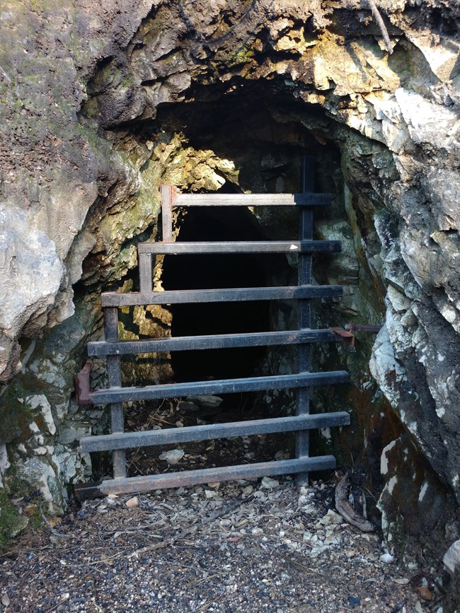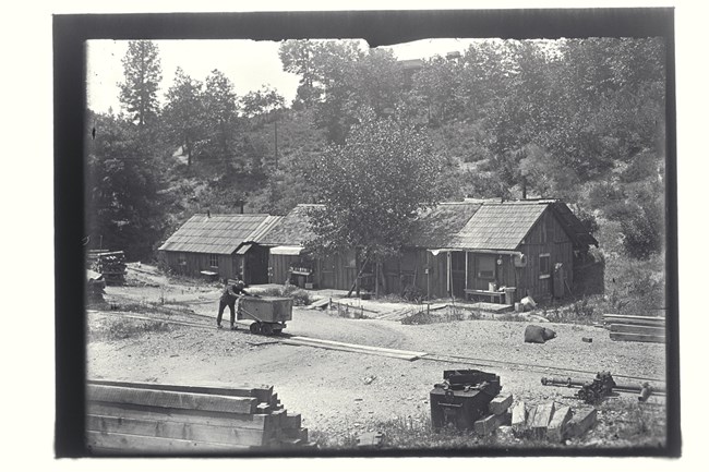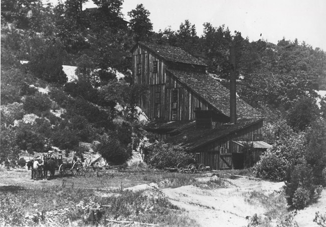
Difficulty levelModerate. Length3.1 mile loop Elevation1080 to 1500 feet ConnectionsClear Creek Canal Trail and Prospect Trail Enter at your own riskThe Carr Fire burned through 98% of the park’s forested lands in the summer of 2018. Be aware of hazards created by the fire, including falling trees and limbs, burned out stump holes, abandoned mine features, and loose rocks. Watch the weather and do not hike if rain is forecast. Rainstorms present the possibility of flash flooding, landslides and debris flows in the fire area. Stay on established roads and trails and report hazards to park dispatch, (530) 242-3431. DirectionsStarting at the Whiskeytown Visitor Center, drive south on Kennedy Memorial Drive for about a mile to the Kennedy Memorial and Clair A. Hill Whiskeytown Dam. At the dam, the road forks; take the left fork, which is Paige Bar Road. Follow Paige Bar Road for 1.3 miles. On the left-hand side across the street from Peltier Valley Road, there is a large gravel parking area for the Mount Shasta Mine Loop Trail. The trail begins near the vault toilet. Please make sure you've purchased your entrance pass. Lock your vehicle and take valuables with you. Trail Description and HighlightsThe Mount Shasta Mine Loop Trail is a 3.1 mile loop with some short but steep climbs. The trail is popular with mountain bikers and takes you through an abandoned mining area with remnants dating from the early 1900s. Note that there is little shade along this trail due to the Carr Fire. 

|
Last updated: September 14, 2021
