Last updated: April 29, 2025
Thing to Do
Hike to Kachina Bridge
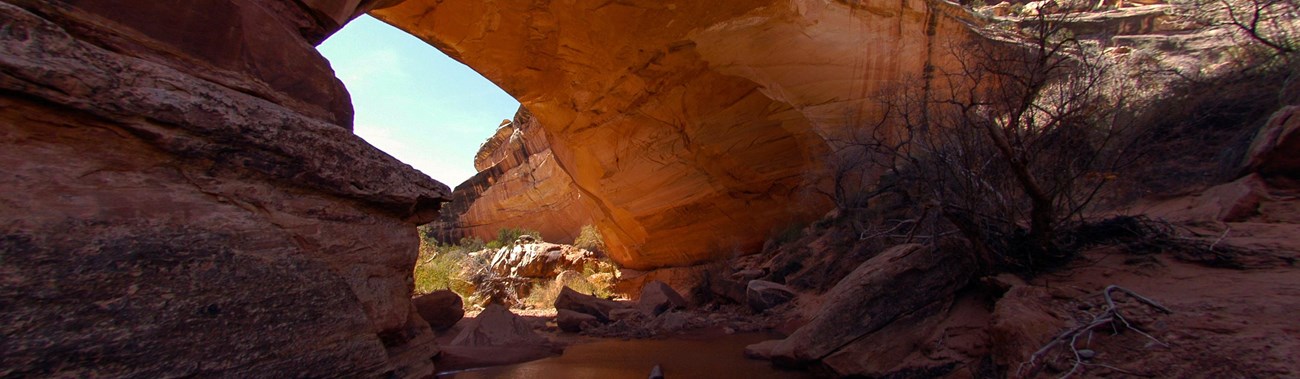
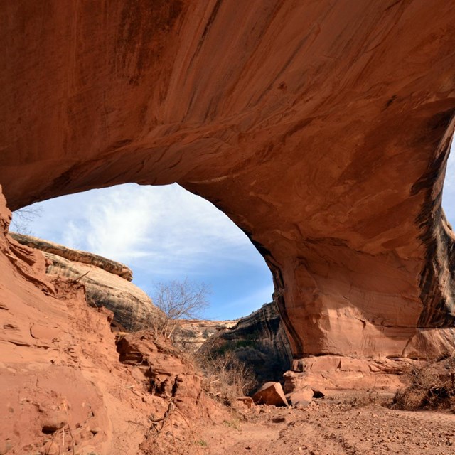
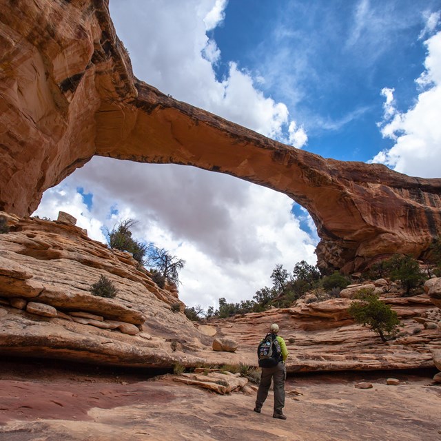
Kachina Bridge has the widest girth in the park at a whopping 44-foot width. The bridge is visible from a viewpoint, but hiking to the base of Kachina brings new perspectives. As you stand beneath this massive sandstone structure, it becomes clear why the Paiute referred to natural bridges as “under the horse’s belly.”
Length Roundtrip: 1.4 miles (2.25 kilometers)
Elevation Change One-way (from Rim to Base): 462 feet (140 meters) loss, 32 feet (9.7 meters) gain
Details
Duration
1-2 Hours
Activity
Hiking
Age(s)
All ages, but minors should be with an adult parent or guardian.
Pets Allowed
No
Activity Fee
No
Park entry fees are required.
Location
Kachina Bridge Parking Area
Directions from Natural Bridges Visitor Center: Out of the visitor center parking lot, turn right at the stop sign. Follow the driving loop approximately 5.3 miles (8.5 kilometers) until you see the sign and parking area for Kachina Bridge. Follow the paved overlook trail for 360 feet (110 meters) to the unpaved trailhead.
Reservations
No
Season
Year Round
Spring and Fall: Suggested visiting time is spring and fall.
Summer: Summer temperatures often reach 100°F (38°C).
Winter: In winter months, this trail may be muddy, icy, and slick. The short ladder may become frost-covered and slippery, and the steep switchbacks can be difficult to traverse after snowfall. If snow and/or ice are present, snow cleats, crampons, and/or hiking poles are highly recommended. Always check conditions before hiking in winter.
Time of Day
Day, Dawn
Although this trail is open at night, it is treacherous and not recommended.
Accessibility Information
Service dogs are allowed on this trail.
There is one accessible parking spot in the parking lot. This is a primitive trail. This trail is not wheelchair accessible. Audio recordings of the posted signage are not available. There is uncertain footing in places. Stay away from the canyon edge - although it is not sheer, it can be steep. Much of the trail is in the shade for much of the day.
The trail declines 462 feet (140 meters) to the base of the bridge. That elevation change is experienced using one wooden ladder, wood stairs, rock stairs, and switchbacks. The total trail length (roundtrip) is 1.4 miles (2.25 kilometers). This trail is strenuous. This trail may be difficult for individuals with mobility impairments.
The nearest restroom is a pit toilet located at the Kachina Bridge parking area. There are flush toilets outside the visitor center. The nearest water is available at the visitor center.

NPS Photo by Miranda Kay
Getting There
Start at the Kachina Bridge parking area and follow the paved viewpoint trail to the split. Take the unpaved trail to Kachina’s base, approximately 0.7 miles (1.13 kilometers) one-way.
Don’t be deceived by distance!
This hike is extremely steep and considered strenuous. The trail descends 462 feet (140 meters) from the canyon rim to the base of Kachina Bridge. Be prepared to traverse a wooden ladder, rock stairs, wooden stairs, and switchbacks. Those looking for a shorter trail should consider walking to the Kachina Bridge Viewpoint or hiking the trail to Owachomo Bridge.
Special Features
At the base of Kachina, look for petroglyphs up the bridge’s side. These images were pecked into the rock by ancestral Puebloans over 700 years ago. We believe these images depict animals, humans, and organic shapes. William Douglas, an early government surveyor, named the bridge Kachina because he believed that these petroglyphs depicted Hopi Kachina.
Petroglyphs are important and fragile connections to the past. Please help us protect them by viewing from a distance. Touching, drawing, or marking on petroglyphs damages them. Thank you for your help.
Learn More
-
 Kachina Bridge
Read about Kachina Bridge.
-
 Other Places to Go
Learn about the major features at Natural Bridges National Monument.
-
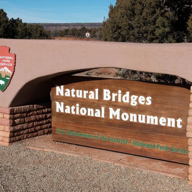 Natural Bridges National Monument
Everything you need to know about the monument.