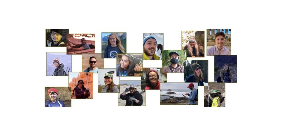
NPS Photo - IMR GIS internship program
Become a GIS Intern
Become a Geographic Information Systems (GIS) intern with the National Park Service (NPS)! View other opportunities on the National Park Service Youth and Young Adult Programs. “Work With Us” page.
Internships with this program:
- Last between 16-25 weeks
- Are available on a seasonal basis
- Provide National Park-focused GIS Training and Development
This GIS Internship program was created in 2020. It is partnership with between the National Park Service and Southern Utah University. Current students studying GIS or recent graduates can apply. This includes undergraduate, graduate, PhD students. Candidates can intern in any NPS park unit, region, or program. This program is nationwide. It provides interdisciplinary professional development experience in a unique NPS setting. Interns develop critical GIS skills needed to succeed in the federal government. They will use geospatial technology to support a variety of park management operations. This includes:
- Natural and cultural resource preservation
- Planning and environmental compliance
- Facility asset and transportation management
- Visitor and resource protection
- Resource interpretation and visitor engagement
About the Program
The NPS program aims to improve geospatial data collection and management. It also aims to help interns advance their skills and gain experience with a federal agency. NPS encourages park units to broaden their use of geospatial services. The goal is to support data-driven and science-based park management and decision-making. Interns play an important role in helping to make that happen. Program participants will engage in some of the following GIS discipline areas:
- GIS data management
- Field data collection
- Geospatial analysis
- Remote sensing
- Web mapping and cartography
We have two cohorts of interns each year with opportunities announced on the SUU IIC page in early March and again in early August. Applications are accepted from around the U.S. via the SUU IIC page and require a resume and cover letter. SUU student status is not required. Opportunities occur across the US at units of the National Park Service. Interns are typically placed in park housing but other accommodations may be used. At this time, our internship program requires U.S. citizenship or the ability to pass a U.S. federal background check.
Program Highlights
NPS-specific GIS training
Interns will spend their first week in a virtual training to learn how the NPS deploys GIS. They will use ArcGIS Online & Portal, Collector, Survey123 and the Park Atlas.
Weekly Cohort meetings
Interns will meet weekly with NPS and to discuss solutions to common questions.
Capstone presentation to the NPS GIS community
Interns present their experiences and accomplishments at the end. A webinar will be held near the conclusion of their internship.
USA Jobs resume building
Interns will build successful resumes with NPS GIS staff mentorship.
Recent NPS GIS Internship Examples
- Aztec Ruins National Monument: Stabilization Treatments geodatabase development ·
- Northeastern Archeological Resources Program: Site and survey geodatabase development
- Yosemite National Park: Facilities GIS data development
- Santa Monica Mountains National Recreation Area: Cultural Resource data development
- White Sands National Park: Resource geodata development, collection and management
- Organ Pipe Cactus National Monument: Sign inventory, data collection, web mapping
- Lewis and Clark National Historical Park: Resource geodata development and implement standards
- Bryce Canyon National Park: GIS data development, monitor endangered species, map development
Explore Opportunities and Apply Today
We have a shared inbox for requests: GIS_Internships@nps.gov.
Visit the SUU IIC page for more information about the internships.
Contact:
NPS GIS Internship Program
GIS_Internships@nps.gov
In partnership with:
SUU IIC https://www.suu.edu/iic/
Last updated: September 18, 2025
