Place
Meyers Beach
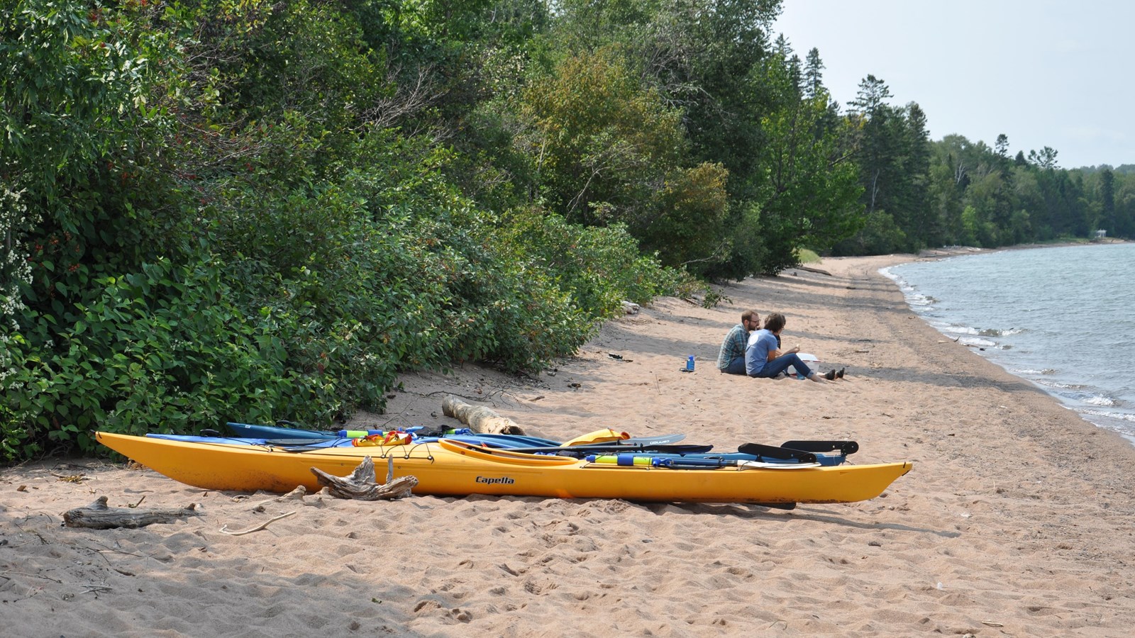
NPS Photo/ Neil Howk
Beach/Water Access, Benches/Seating, Canoe/Kayak/Small Boat Launch, Information - Maps Available, Picnic Table, Scenic View/Photo Spot, Toilet - Vault/Composting, Trailhead, Water - Drinking/Potable
Meyers beach is located 17 miles west of Bayfield off Highway 13. It is a great place to access the park on the mainland, especially if you only have a few hours. There is a day use parking fee to use the parking lot with picnic tables, vault toilets, a trailhead to the Lakeshore Trail, and a staircase leading down to the beach. The maximum vehicle length to enter Meyers Beach parking area is 45 feet. During the summer you can launch a sea kayak and paddle out to the sea caves or hike the 2.5 miles on the Lakeshore trail to see the sea caves from above. It is recommended to use a 16 foot sea kayak with sealed bulk heads, PFD, spray skirt, and wetsuit when paddling on Lake Superior. If you do not have the proper equipment guided tours are available. Always check the local marine weather forecast before heading out on Lake Superior.
Park Rangers are stationed out at Meyers Beach during the summer months to answer questions and orient visitors. There is one campsite on the mainland that is accessible by a six-mile hike from the parking lot, or by kayak from the water. The campsite is rustic and has a picnic table, fire ring, metal food storage locker, and stump privy. All camping permits for the national lakeshore can be reserved on Recreation.gov.
During the winter if the ice conditions are safe you can access the ice caves by walking on frozen Lake Superior. Conditions of the ice can change rapidly during the winter. Please check current conditions before venturing out onto the ice.