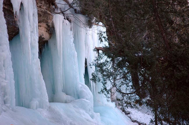
NPS photo Viewing ice "caves" and ice formations has become a popular winter activity at Pictured Rocks National Lakeshore and the surrounding area. Water seeping out of the porous sandstone cliffs freezes into spectacular curtains and columns of white ice tinged with blue, green, or yellow hues. The ice generally begins to form by mid-December and remains until early April. 
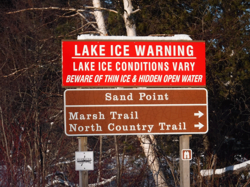
NPS Photo Precautions and SafetySand Point Road is plowed all winter, but it lacks a road shoulder. Watch for cars and expect slippery conditions. While ice frequently forms along the Pictured Rocks cliffs above the waters of Lake Superior, these areas are difficult to view. Ice on the Grand Island cliffs can be viewed from the Sand Point beaches. Walking on Lake Superior or across Munising Bay is not recommended - EVER - due to unknown ice thickness, thin and shifting ice, hidden underwater currents, and open water. No one can tell you if the ice is safe to walk on. Also:
|
Last updated: December 13, 2022
