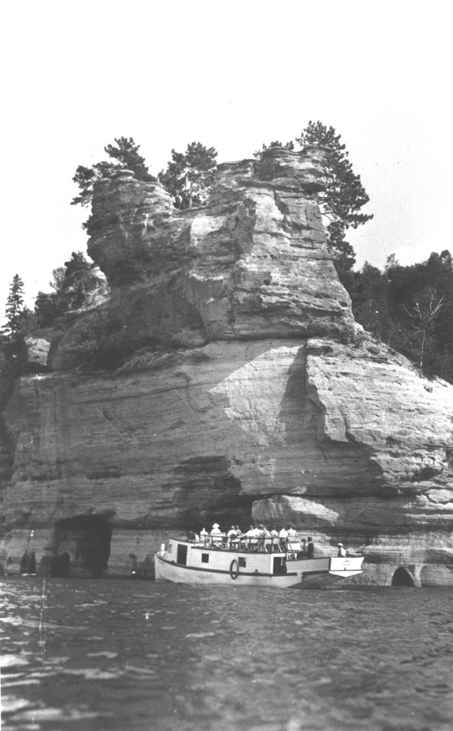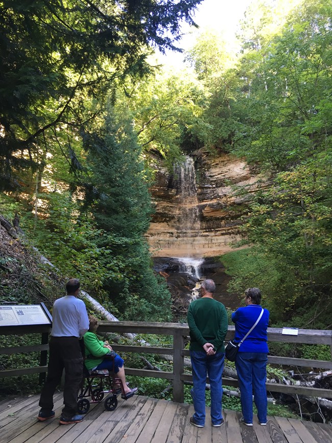

Alger County Historical Society Early plans for the National Lakeshore prepared in 1961 recommended a park 100,000 acres in size. By 1962, as a result of concerns voiced by the local forest products industry that too much timber land would be removed from harvest by a park of that size, the acreage was reduced to about 61,000 acres. By the time legislation was passed, the size of the lakeshore had been increased slightly to 71,397 acres, comprised of two distinct acquisition, development, and management zones: a shoreline zone (33,550 acres), and an inland buffer zone (37,850 acres). The shoreline zone was established to preserve its scenery and outstanding natural features and to provide the benefits of public recreation. The inland buffer zone was created to stabilize and protect the existing character and uses of the land, waters, and other properties as they were on December 31, 1964. It was the intent of Congress that the inland buffer zone preserve the setting of the Lake Superior shoreline and inland lakes, and protect the watersheds and streams. Sustained yield timber harvesting and other resource management activities compatible with the preservation and recreational use purposes outlined in the legislation were also permitted within the inland buffer zone. In 1966, President Lyndon Johnson signed the bill that created Pictured Rocks National Lakeshore. After several years of land acquistion negotiations, there were sufficient lands in federal ownership to provide a manageable Park Service area. Pictured Rocks National Lakeshore was formally established as a unit of the National Park System in ceremonies held on October 6, 1972, at Bayshore Park in Munising. 
Symbols of the maritime history of Lake Superior are preserved at the former U.S. Coast Guard stations at Sand Point, Grand Marais, and at Au Sable Point. The Au Sable Light Station, built in 1874, is perhaps the finest example on the Great Lakes of vintage masonry lighthouses. |
Last updated: October 28, 2022
