Basic Information
Essential information necessary to plan your visit. 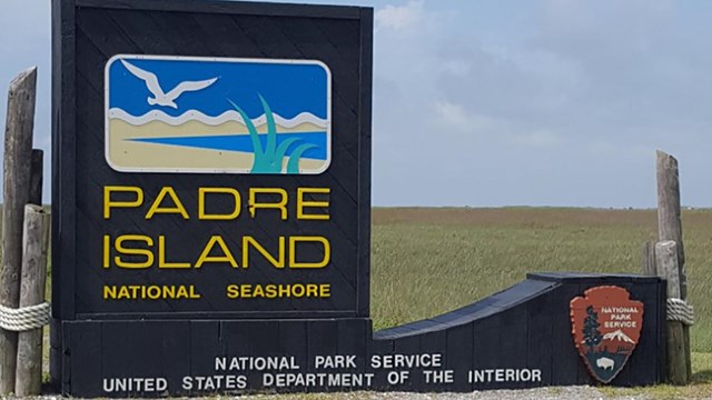
Directions & Transportation
Learn about how to get to the park. 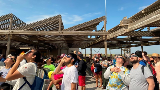
Calendar
Information about events and programs happening in the park. 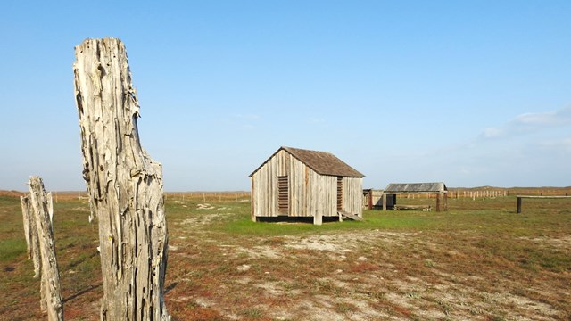
Places To Go
Saltwater lagoons, costal prairies, and endless beaches. 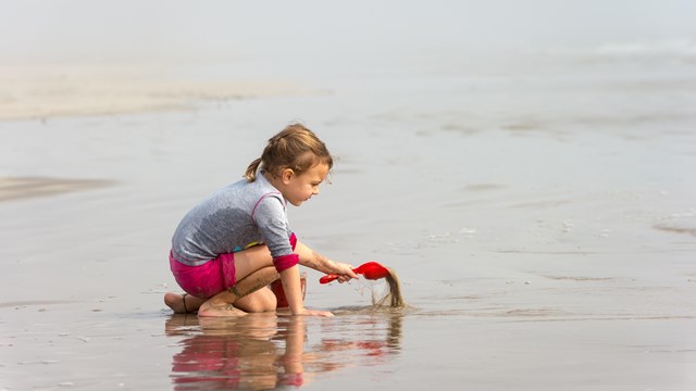
Things To Do
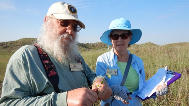
Find activities to do in the park. 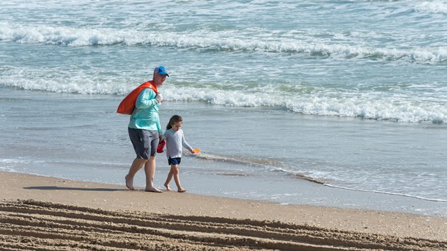
Safety
Protect Your Park, Protect Yourself 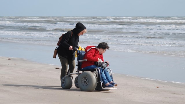
Accessibility
Padre Island National Seashore is a place for all people, with activities for every level of ability. 
Nearby Attractions
Discover unique attractions in the local area. Plan Like a Park Ranger!Top Ten Tips for Visiting the Park |
Last updated: May 19, 2024