Geographic Information Systems (GIS)
The Southeast Archeological Center (SEAC) has ever-evolving geospatial capabilities. Assisting park managers in the Southeast region, SEAC uses GPS and GIS technologies to develop plans against erosion, looting, and harmful construction projects. By identifying archeological site locations, SEAC provides the expertise needed to help park management make vital decisions to protect sites and further explore the relationships between them.
Geophysical Survey and Investigations
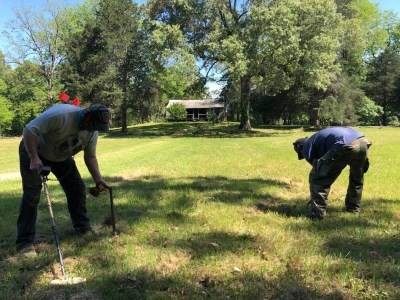
SEAC’s archeologists use global positioning system (GPS) technology to record locations and geospatial information system (GIS) software to explore relationships. By early 2018, the SEAC geodatabase contained more than 14,000 sites and subsites and over 1,500 archeological surveys in the Southeast Region parks. We share all of that information with qualified NPS staff in the parks through web maps.

SEAC Dive Team
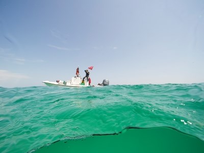
The Dive Team at SEAC aims to help build the capacity of the NPS for protecting underwater sites, resources, and environments. Partnering with various partners such as the Submerged Resources Center, Biscayne National Park, and more, the Dive Team works to identify, document, and safeguard these resources, preserving them for research, interpretation, and public outreach efforts. Each member of the Dive Team has received dive training and is certified to perform underwater scientific research.
View Our Archeological Programs
Archeological ProgramsLast updated: July 24, 2020
