News Release

NPS Photo
|
Subscribe
|
Contact: Public Affairs Office, 360-565-3005
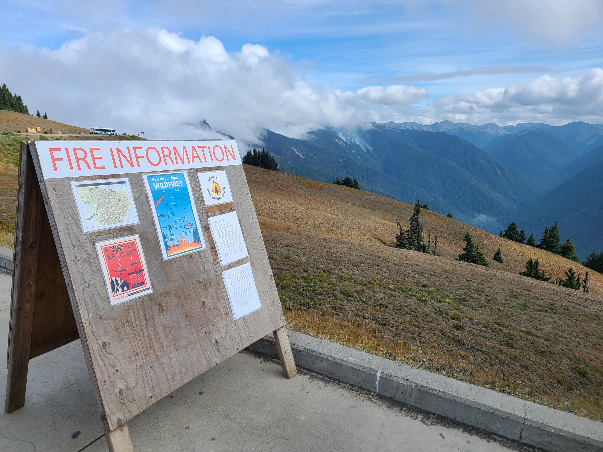
Port Angeles, Wash. – Today, the Eagle Point Fire showed very quiet, diminished behavior because of more humid conditions and cooler weather. Crews will continue using a confine and contain suppression strategy to keep the fire from moving over the ridge to the north. Smoke is visible from the Hurricane Ridge area.
After using infrared mapping technology, the fire perimeter has been updated to be 70 acres in size. This change is due to the better accuracy of infrared mapping. Fire personnel must contend with steep and rugged terrain, which can make mapping difficult. Infrared mapping can be done by aerial resources and is much more effective in predicting the fire perimeter, especially in the Olympics.
The Hurricane Fire showed no change in size and remains at 4 acres with 75% containment.
Infrared mapping was also used on the Low Divide Fire and it is 4.5 acres in size. A six-person crew from Olympic National Park will be inserted to the fire on Wednesday and will help facilitate visitor safety on the North Fork Quinault Trail and Skyline Primitive Trail. Currently, there is no anticipation to close either trail.
The Diamond Mountain, Delabarre, and Martins Lake Fires showed no change and remain at the same acreage as yesterday:
|
Fire Name |
Initial Report |
Estimated Size as of 9/5 |
Location |
|
Hurricane |
8/28/23 |
4 acres |
2,000 ft below Hurricane Ridge parking area |
|
Eagle Point |
8/28/23 |
70 acres |
~5 miles out Obstruction Point Road |
|
Diamond Mountain |
9/1/23 |
25 acres |
3.3 miles NE of Anderson Pass |
|
Low Divide |
9/1/23 |
4.5 acres |
N. Fork Quinault drainage |
|
Delabarre |
9/1/23 |
1 acre |
3 miles SE of Mount Christie |
|
Martins Lake |
9/2/23 |
.1 acres |
2 miles NE of Mount Christie |
Fire is an integral part of the forested ecosystems on the Olympic Peninsula; plants and animals here have evolved with fire for thousands of years. Many factors such as weather, topography, and vegetation influence fire behavior and the effects that fires have on natural resources.
Olympic National Forest Fires
The Tunnel Creek Fire, located east of the Buckhorn Wilderness in the Olympic National Forest, is now 60% contained, and thanks to better mapping is estimated at just under 1 acre in size. Moderated weather conditions continue to help firefighters as they work to create handline around the remaining perimeter of the fire. Visitors are asked to avoid the area for public and firefighter safety. For additional information contact the Olympic National Forest Supervisor’s Office at (360) 956-2402.
Background Information
All six active fires in Olympic National Park ignited when a series of lightning strikes occurred on the Olympic Peninsula.
On August 18, Olympic National Park and Olympic National Forest implemented a fire ban including charcoal fires. The move to Stage 2 fire restrictions is due to continued hot and dry conditions that are forecasted to continue at least through the end of October as dry conditions in the region persist.
Closures
Obstruction Point Road and the trailhead will be closed until further notice. Olympic National Park Wilderness Information Center (WIC) will be notifying backcountry permit holders who may be impacted by this closure. Any permit holders who plan to backpack via the Obstruction Point Trailhead should contact the WIC at 360-565-3100 or https://www.nps.gov/olym/planyourvisit/wic.htm.
Weather and Fire Behavior
An upper-level zonal flow pattern, combined with a surface high off the coast will help break the clouds through Tuesday afternoon. By Wednesday, a weakening cold front will sweep across the state. The chance of showers remain low. Patchy fog will be possible across the entire area Wednesday morning. Firefighters are planning and maintaining vigilance for warmer temperatures anticipated on Thursday and Friday.
Information for the Eagle Point Fire can be found at: Eagle Point Fire Information | InciWeb (wildfire.gov)
Information for the Hurricane Fire can be found at: Hurricane Fire Information | InciWeb (wildfire.gov)
Olympic National Park information: www.nps.gov/olym
Olympic National Forest information: www.fs.usda.gov/olympic
State and county area burn bans: www.waburnbans.net
Last updated: September 5, 2023
