|
Used by the nimíipuu (Nez Perce) long before Euro-Americans came on the scene, the route over the Bitterroot Mountains, known today as the Lolo Trail, extends from Weippe Prairie to Lolo Pass along the Idaho-Montana border. Lewis & Clark followed this route on their trip across the mountains to the west coast in 1805. Looking for safety in Montana in late July of 1877, the non-treaty nimíipuu followed the same trail during the Flight of 1877. 
USDA Forest Service/Roger Peterson Getting to Lolo Trail and Lolo PassU.S. Highway 12 (Lewis and Clark Highway)Lolo Pass along U.S. Highway 12 begins in Greer, Idaho on the west end and ends 150 miles east at the Fort Fizzle interpretive site in Montana. This is a paved, two-lane highway with speed limits 50 miles-per-hour or less with few turnouts and limited opportunities to pass. Lolo Motorway (Forest Road 500)Lolo Pass along the Lolo Motorway is 119 miles long between Kamiah in the west and Powell in the east. It follows the traditional route of the Nez Perce more closely than Highway 12; however, this a single-lane, narrow, winding, primitive road that dips into saddles and ascends again onto ridgetops. The road is generally free from ice and snow by mid-July and usually accessible into October. Things to Do at Lolo Trail and Lolo PassExplore the SiteThe Nez Perce Trail and Pass is an affiliated site of the Nez Perce National Historical Park that is owned and managed in large part by the Nez Perce-Clearwater National Forest on the Idaho side of the border and the Lolo National Forest in Montana. There is a series of historic signs about the Lolo Trail and the Nez Perce (Nee Mee Poo) Trail as well as picnic areas at Fort Fizzle. The National Forests offer several recreational opportunities such as camping, hiking, horseback riding, hunting, hotsprings, skiing, snowshoeing, and snowmobiling. Nearby Amenities
Staying Safe along the Lolo Trail and Lolo PassForest Road 500, known as The Lolo Motorway, is a primitive, winding road built by the Civilian Conservation Corps in the 1930s. Despite the name "Motorway," this road is very rough, narrow, and travels through remote country. Forest Road 500 is suitable only for high clearance vehicles; RVs or trailers are not recommended. Nez Perce Trail Auto TourThe staff at the Nez Perce National Historic Trail have developed auto tours with travel instructions for retracing the 1877 route of the Nez Perce along with maps, graphics, and details about the confilct at sites you can see along the way. Download Auto Tour 2 and Auto Tour 3 for more details about the what occurred along the Lolo Pass and Trail during the Nez Perce Flight of 1877. 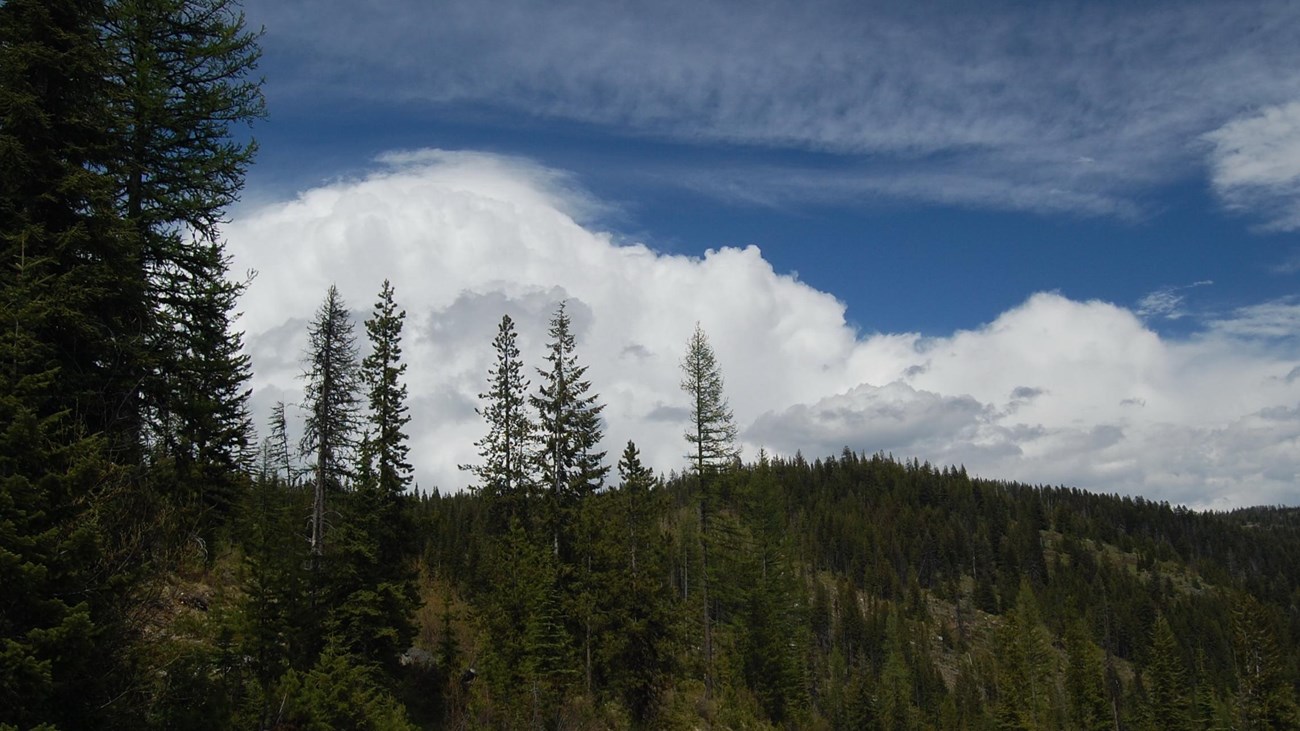
Lolo Trail and Lolo Pass History
Looking for safety in Montana in late July of 1877, the Nez Perce followed the same trail used by Lewis and Clark in 1805 and 1806. |
Last updated: December 30, 2022