By design, there are no commercial services on the Natchez Trace Parkway. If you know where to look you can often find what you need just around the corner.
-

Camping
RV and Tent Camping
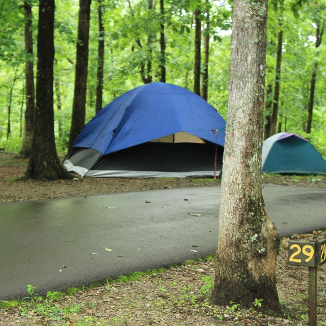
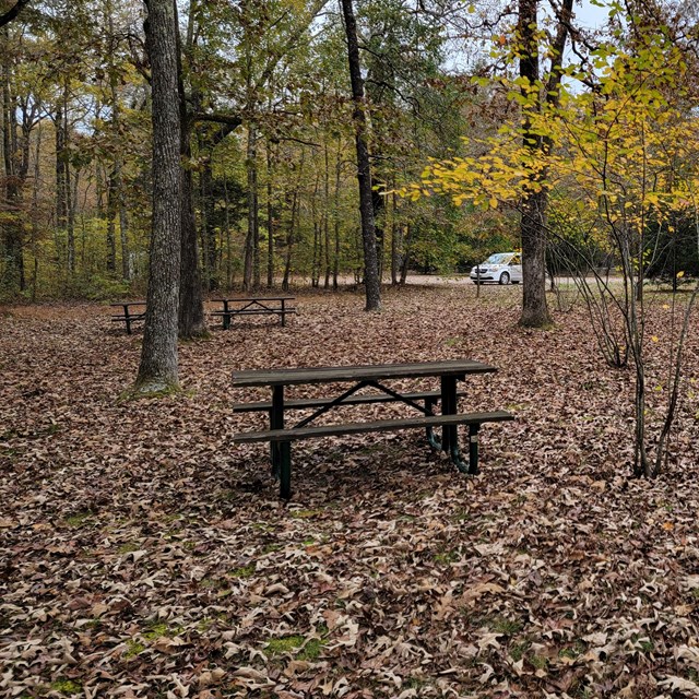
No-fee camping is available along the Parkway. There are 3 RV/tent campgrounds. They are first come first served.
-
-
-
Supply Codes: G=Gas, D= Diesel, F=Food/Market, R=Restaurant, C=Camping, M=Motel/Hotel,
B=Bike Supplies, VC=Visitor Center-Information, Town= all.*If listed "Off Exit", facilities are within
sight of the exit.
|
Mile Marker
|
Exit
|
Supplies
|
Directions (distances are approximate)
|
|
0
|
Natchez
|
Town
|
West for most facilities
|
|
8
|
Washington
|
G, D,F
|
Several miles into town on HWY 61
|
|
30.4
|
Lorman
|
R
|
1 mile E on HWY 552 then 1 mile South on HWY 61
|
|
37.5
|
US HWY 61
|
G, M
|
.5 mile
|
|
37.7
|
Port Gibson
|
G, F
|
2 miles to town
|
|
41.3
|
MS HWY 18
|
G, F
|
West 1 mile
|
|
54.8
|
Rocky Springs
National Park Service
|
C
|
On Natchez Trace Parkway, no hook-ups
|
|
79
|
Raymond
|
G, F
|
3 miles to town of Raymond
|
|
87
|
I-20
|
Town
|
Clinton, (Bicycles not allowed on I-20)
|
|
89
|
Clinton Historic District
|
VC
|
Chamber of Commerce West .4 mile
|
|
G, D, F
|
East .4 mileand 5 miles to City of Clinton
|
|
102.4
|
Parkway Information Cabin
National Park Service
|
VC
|
National Park Service Visitor Center, Natchez Trace PKWY
|
|
Town
|
MS 51 - Off exit*
|
|
103.4
|
Madison, Ridgeland,Ross Barnett Reservoir,
MS Craft Center
|
G, D, F
|
East .3 miles
|
| |
Go East, right at Rice Rd. At 1st stop sign go left onto S. Pear Orchard. Indian Cycle bike shop at 677.
|
|
114.9
|
MS HWY 43
|
G, D, F
|
1 mile toward Canton
|
|
123.7
|
Ratliff Ferry
|
G, D, F, C
|
East .5 mile, boat launch
|
|
146.2
|
Thomastown
|
G, D, F
|
North on MS 429 - .5 mile to junction with MS 43
|
|
160
|
Kosciusko
|
Town
|
West 1 mile
|
|
VC
|
West .1 mile, City of Kosciusko Welcome Center
|
|
180.8
|
French Camp
|
G, D,F
|
West on MS 413, .2 mile
|
|
R
|
East on MS 413, .1 mile
|
|
193.1
|
Jeff Busby
National Park Service
|
C
|
On Natchez Trace Parkway, no hook-ups
|
|
195.5
|
US HWY 9 Ackerman
|
G, D, F
|
Off exit*
|
|
204.5
|
Mathiston
|
G, D, F, R
|
East 1 mile on US 82
|
|
219.6
|
Mantee
|
G, D, F
|
West .1 on MS 46
|
|
229.3
|
Houston
|
Town
|
West 3 miles on MS 8
|
|
239
|
HWY 32
|
G, D, F, R
|
East 3 miles (heavy truck traffic)
|
|
251.6
|
Pontocola Road
CR 506
|
G, D, F
|
West .3 mile
|
|
C (RV only)
|
East .1 mile
|
|
255.7
|
Verona
|
G, F
|
East .75 mile
|
|
258.6
|
Cliff Gookin Blvd
|
G,F, D
|
West (North) 1.5mile also RV supplies .2 mile
|
|
G, D, F, R
|
East (South) 2.7 mile
|
|
260
|
HWY 6Main Street
Tupelo
|
F, G, D
|
West .7 mile
|
|
G, F, R
|
East .7 mile
|
|
263
|
McCullough BLVD
|
G, D, F
|
West .3 mile
|
|
G, F, R, M
|
East .6 mile
|
|
266
|
National Park Service Visitor Center Tupelo
|
VC
|
Natchez Trace Parkway Visitor Center Open 8AM to 5PM
|
|
G,D, F, M, R
|
South on HWY 145, 1.5 miles
|
|
C- bike only
|
West side of Natchez Trace Parkway
|
|
270.7
|
Saltillo
|
G,R
|
West .75 mile on MS 363 (G, D, F in town, about 3 miles)
|
|
282.2
|
Mantachie
|
G, D, M
|
3 miles toward Mantachie
|
|
302.8
|
Tishomingo
|
G,F
|
North .75 mile on MS 25
|
|
320.3
|
Cherokee
|
G, D, F, R
|
Gas 1.3 mile (Motels 20 miles)
|
|
327.3
|
Colbert Ferry
National Park Service
|
C-bike only
|
On Natchez Trace Parkway, on road behind contact station
|
|
336.1
|
Florence
|
G, D, F, R
|
East 3 miles on US HWY 20 (Motels in town20 miles)
|
|
350.7
|
TN HWY 13
|
G, D, C, F
|
Off exit*
|
|
354.9
|
Collinwood
|
VC
|
City of Collinwood Visitor Center
|
|
G, D, F, R
|
East .25 on TN HWY 13 (RV park and cottages available)
|
|
369.9
|
Waynesboro
|
G, D, F
|
West .75on US HWY 64
|
|
M
|
West HWY 64, 10 miles
|
|
380.9
|
Napier Road
|
F, C, R
|
Go under Parkway .25 mile
|
|
385.9
|
Meriwether Lewis
National Park Service
|
C
|
On Natchez Trace Parkway, no hook-ups
|
|
385.9
|
Hohenwald TN HWY 20
|
G, D, F, R, M
|
G, F- 1.3 miles East everything else is 6 miles West (nearest gas) motel is 6.6 miles
|
|
391.1
|
Hohenwald
US HWY 412
|
C
|
Off exit*
|
|
G, D, F, R, M
|
West 7 miles (also B&B)
|
|
407.8
|
Centerville
|
G, F
|
West 1 mile on TN 50 (propane available)
|
|
415.4
|
Fly
|
F
|
East 1.7 miles on HWY 7
|
|
429
|
Leipers Fork
|
G, D, F
|
East 1 mile and North on TN HWY 46
|
|
438
|
Franklin
|
G, F
|
East Food 5.7 miles , Gas/food 6.8 miles
|
|
Town
|
East 8.5 miles
|
|
444
|
TN HWY 100
|
G, D, F, R
|
East .1 mile
|
|


