Nearby Attractions


Mount Rainier is within a half–day’s drive of numerous recreational and educational opportunities in the Pacific Northwest.


Other Recreational Opportunities Near Mount Rainier

  • Mount Tahoma Trails Association, in Ashford, Washington, is located just outside the Nisqually Entrance, at the southwest corner of the park.
  • Gifford Pinchot National Forest stretches south from Mount Rainier National Park to the Columbia River. The Cowlitz Valley Area, managed by the Cowlitz Valley Ranger Station in Randle, includes several wilderness areas near Mount Rainier. Check wilderness area webpages for information about seasonal trail access:
    • Tatoosh Wilderness shares the southern boundary of Mount Rainier National Park and is located just north of Packwood and northwest of US-12.
    • Goat Rocks Wilderness is southeast of Packwood on the crest of the Cascade Range south of US-12.

    • William O Douglas Wilderness is located in the southern Washington Cascade Mountain crest between White Pass (US-12) and Chinook Pass (SR410) and east of Mount Rainier National Park.

  • Mount St. Helens National Volcanic Monument, located on the west side of the Gifford Pinchot National Forest, is south of Mount Rainier National Park.
  • The Pacific Crest Scenic Trail runs along the eastern edge of Mount Rainier National Park.
  • Mount Baker-Snoqualmie National Forest, located on the western slopes of the Cascade Range between Mount Rainier and Vancouver, British Columbia. A few areas border the north side of the park:
    • Clearwater Wilderness is north of the park, near the Carbon River area.
    • Mather Memorial Parkway (SR410) travels through the east side of Mount Rainier National Park (closed to vehicles during the winter), but also refers to the national forest area north of the park.
  • Okanogan-Wenatchee National Forest, over 4 million acres on the Cascades' eastern slopes, from the Pasayten Wilderness along the Canadian border to the Goat Rocks Wilderness south of Mount Rainier.
  • Federation Forest State Park is a day-use natural area with 619 acres of old growth evergreens. Located along the White River just north of Mount Rainier.
 

National Park Service Sites
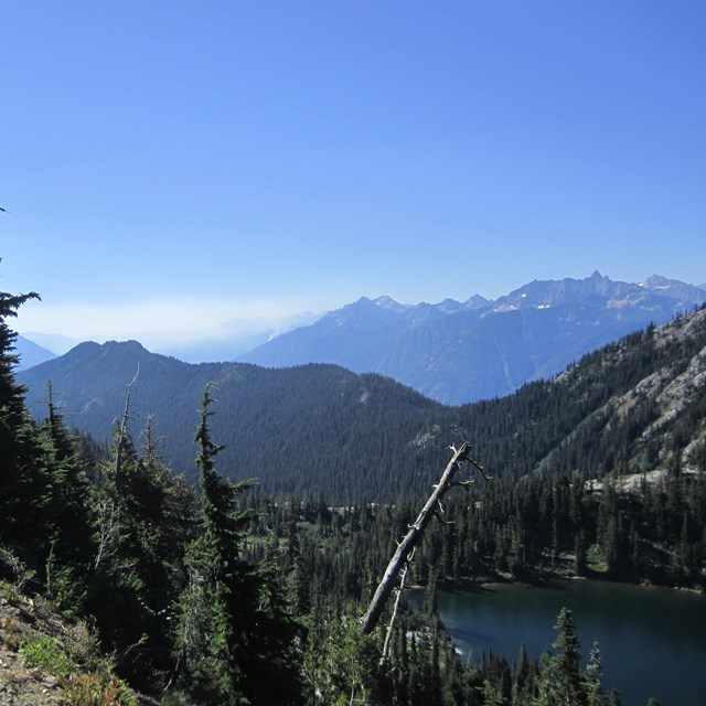
 

Gateway Communities

Near the southwest Nisqually Entrance:
  • Eatonville to the west of the park on SR 161.
  • Ashford near the Nisqually Entrance on SR 706 west of the southwest corner of the park.
  • Elbe near the Nisqually Entrance on SR 706 west of the southwest corner of the park.
  • Morton near the Nisqually Entrance on SR7 east of the southwest corner of the park.

Near the northwest Carbon River Entrance:

  • Wilkeson near the Carbon River Entrance on SR165 west of the northwest corner of the park.
  • Carbonado near the Carbon River Entrance on SR165 west of the northwest corner of the park.
  • Buckley to the northwest of the park on SR410.

Near the southeast SR123 Entrance (Ohanapecosh):

  • Packwood near the Ohanapecosh Entrance on SR123 south of the southeast corner of the park.

Near the northeast SR410 Entrance (White River):

  • Greenwater near the north entrance on SR410.
  • Enumclaw to the north of the park on SR410.
 
Panoramic image of a snow-covered forested ridge and mountain.
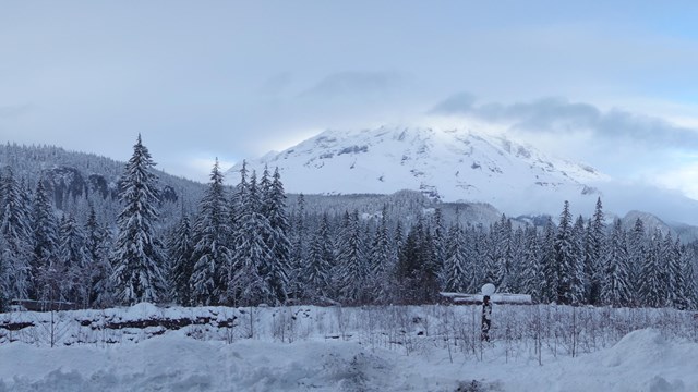
Alternative Winter Destinations

Longmire, Carbon River, and nearby communities offer many options for winter recreation.
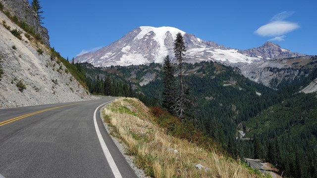
A road curves up the side of a valley towards Mount Rainier.
Road Status

Find out current road conditions, including access to Paradise during the winter season.
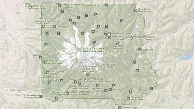
A screenshot of a map of Mount Rainier National Park shaded in green with numerous icons.
Park Maps

Maps of Mount Rainier National Park, including the Wilderness Trip Planner Map and area trail maps.

Last updated: April 25, 2024

Park footer

Contact Info

Mailing Address:

55210 238th Avenue East
Ashford, WA 98304

Phone:

360 569-2211

Contact Us