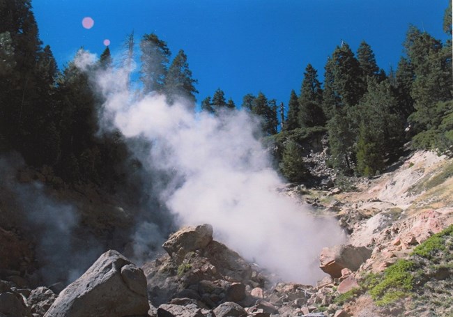
NPS Photo Round Trip Distance: 5.8 miles Round Trip Time: 2.5 - 3 hours Elevation: 5,640 ft - 5,840 ft (6,250 high point) Elevation Change: 610 ft. Trail DescriptionFollow the Pacific Crest Trail (PCT) southwest through open forest near the fringe of the extensive and lush meadows of the Drakesbad area, and continue along the north bank of spring-fed Hot Springs Creek. Along with such notable thermal features as Boiling Springs Lake and Devils Kitchen (as well as several unnamed hot springs), Hot Springs Creek is also fed by a number of cold springs trickling down the sides of Warner Valley, which keeps the summertime water temperature somewhere between 50 and 55 degrees. Even when cool, getting into water fed by thermal activity is strongly discouraged due to the acidity of the water. Numerous species of flowers grow in the slopes along the trail and usually are at their peak in July. Getting ThereThe Warner Valley trailhead parking area is located 16 miles northewest of Chester on the Warner Valley Road. From Chester, follow the Feather River Road north 1 mile to a fork for Juniper Lake and Warner Valley. Continue towards Warner Valley/Drakesbad for 15 miles. Bear left onto the dirt road and continue past the Warner Valley Campground to the turnoff for the trailhead. Hydrothermal Area DangerFor your safety, stay on established trails and boardwalks. Ground in hydrothermal areas can look solid but may actually be a thin crust hiding pools of acidic boiling water or mud. Traveling off-trail in these areas may result in severe injury. Read more about exploring the park hydrothermal areas. |
Last updated: January 2, 2025
