Day Hikes

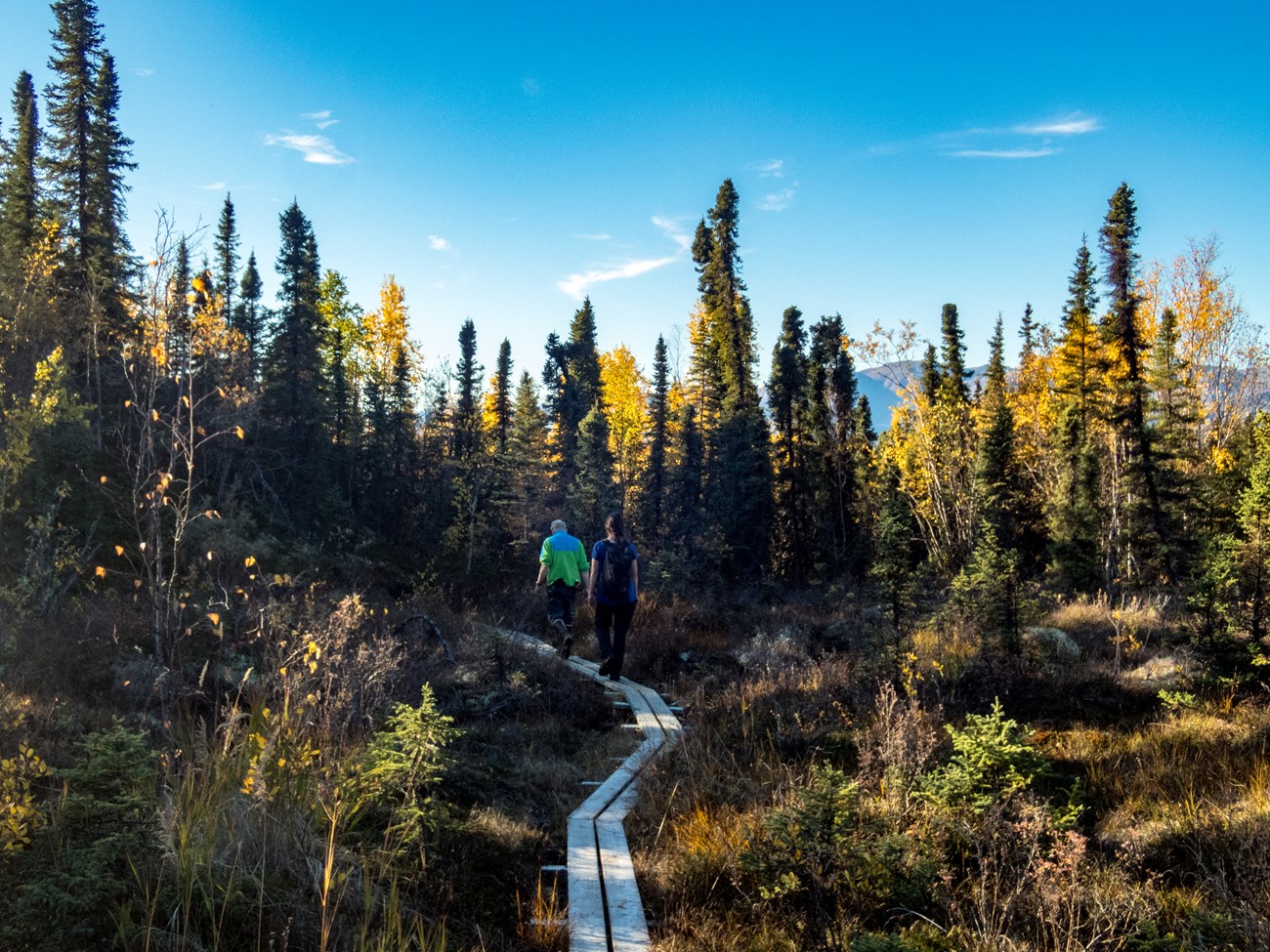
yellow birch trees surround a narrow boardwalk with two hikers on it
The Tanalian trail system from Port Alsworth offers great day hiking opportunities.

NPS Photo / T. Vaughn

Tanalian Trails

While day hiking opportunities are endless in places that can be reached by plane or boat, there are only two maintained trail system in the park and preserve. The Tanalian Trails originate in Port Alsworth in the heart of the park. The trailhead is located near southern-most airstrip in town. Stop by the park visitor center in Port Alsworth for current trail conditions and a trail map.
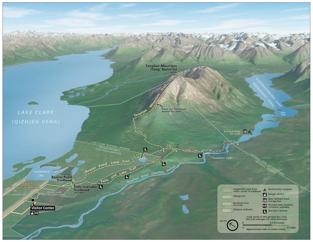
 
map of the Tanalian Trails system in Port Alsworth, showing the Falls and Lake Trail, Beaver Pond Trail, and the Tanalian Mountain Trail
Map of the Tanalian Trails System in Port Alsworth, Alaska

NPS Map/HFC, LACL

Half Day Hikes

 
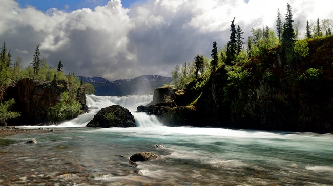
waterfall and river surrounded by rocks and trees
Tanalian Falls

Photo Courtesy Of T. Tessier

Tanalian Falls

Length: about 4 miles round trip

Meander through birch groves and up spruce studded hillsides to a stunning view of Lake Clark. Then round the bend and head down the gentle hill. On a summer day dwarf dogwood lines the trail, the sunlight dapples the forest floor, and the roar of the falls in your ears is deafening. Cold glacial waters fall over a 30 foot cliff of ancient lava. The mist falls coolly on your face and the view takes your breath away.
Kontrashibuna Lake
Length: about 5.5 miles round trip
Beyond Tanalian Falls, the trail enters Lake Clark’s designated wilderness on its way to the serenity of Kontrashibuna Lake, a spectacular mountain gem.

 
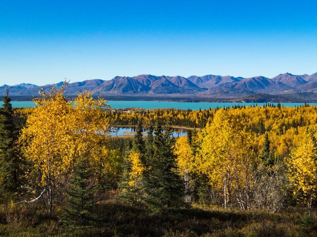
landscape view of mountains and lake in the background trees and ponds in the middle ground and trees in the foreground
Beaver Pond and Lake Clark.

NPS Photo/ T. Vaughn

Beaver Pond Trail

Length: 3.2 miles round trip

Any hike in the Tanalian Trail system can be made into a loop by returning on the Beaver Pond Trail. This trail meanders through quiet birch groves and past an old beaver pond where shorebirds nest in the early summer. Benches overlook the beaver pond offering a quiet place for reflection.
The trek to the Tanalian Falls can also be started on this trail. The Beaver Pond Trail offers a more gradual incline up to the falls.

 
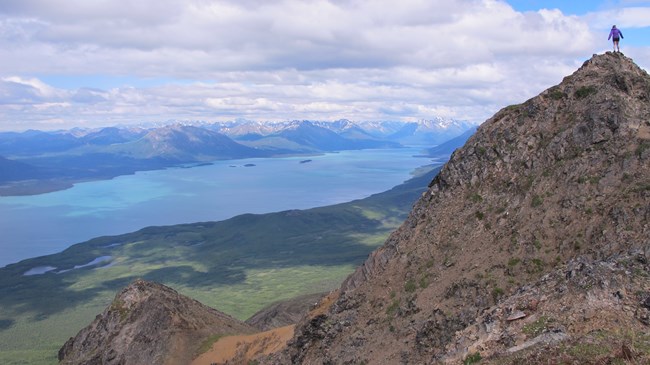
hiker on rocky peak in distances, lake and tress surroundings
Tanalian Mountain.

NPS photo/K Martin

A Whole Day Hike

Tanalian Mountain

Length: 8.6 miles round trip

The trail up Tanalian Mountain is steep and rigorous with stunning panoramic views of Lake Clark and the surrounding mountains.
Plan for at least eight hours to complete this trail. The trail begins along the Tanalian Falls Trail and offers views through a birch and spruce forest before starting the ascent up the rocky mountain. Alder and willow line the trail before elevation gives way to tundra.

Keep an eye out for sheep at the summit as well as a USGS benchmark before reaching the very top.

 
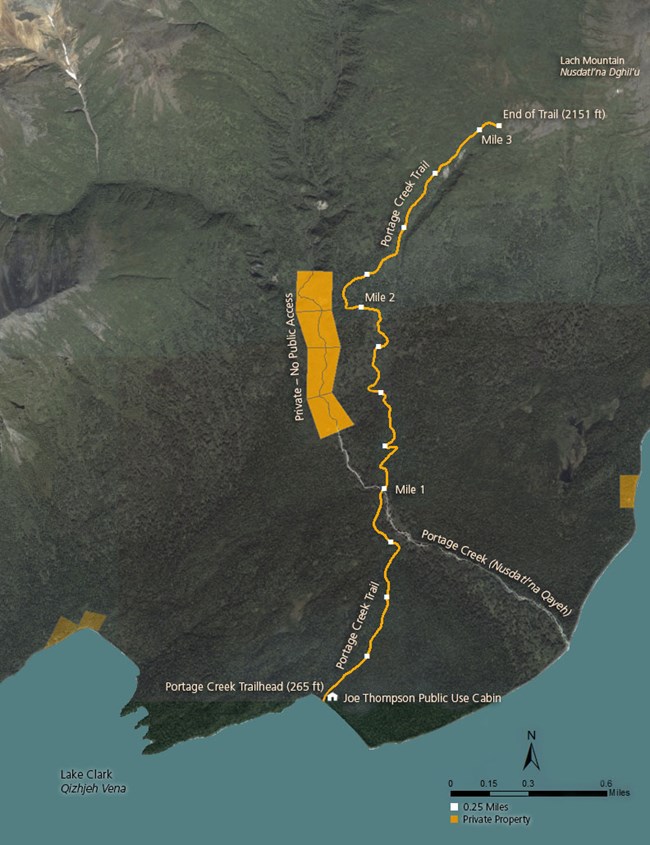
map of the portage creek trail showing private property on each side of the route

Other Day Hikes on
Lake Clark

The Portage Creek Trail is the only other maintained trail in Lake clark. The trail originates at the Joe Thompson Public Use Cabin (not visible from the lake), approximately 13 miles north-northwest of Port Alsworth. Visitors can access the beach in front of the cabin via boat or float plane and water taxis may be available from Port Alsworth. While there are no mooring buoys or boat docks at this location, watercraft can land on the beach. To the west of the cabin, and around the point (see reverse for map) is private property. Please avoid disturbing our neighbors.

The Portage Creek Trail begins near the shore of Lake Clark and continues over three miles through a thick spruce and birch forest, past alders and up to alpine tundra. The first mile is generally flat until you reach Portage Creek. Foliage on the trail can change drastically from season to season so be aware of where the trail is to avoid creating social trails or tresspassing on private property. After crossing the creek, the trail starts to ascend in a series of switchbacks. Stay to the left after crossing the creek to stay on the public trail. Please do not shortcut the switchbacks as this will erode the trail. The maintained trail ends in the tundra.


Distance: 3.25 miles
Elevation gain: 1850 ft
Width: Single track, ~12 inches
Surface: dirt and leaf litter
 
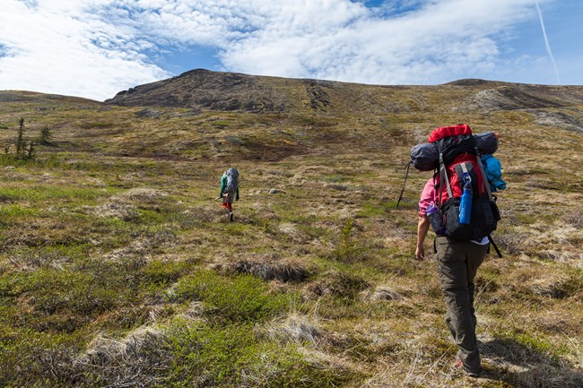
Hikers climbing up a hill covered in tundra
Hikers make their way through trail-less tundra

NPS Photo/ T. Vaughn

Other Day Hikes Not On Lake Clark

A boat or plane ride can provide access to endless opportunities for trailless day hiking where the adventurous traveler can enjoy a climb up to alpine lakes or tundra meadows, a stroll across river gravel bars, or a challenging bushwhack up to a seldom-visited waterfall. Coastal beaches, high tundra, and lakeshores offer excellent hiking for the traveler seeking solitude and the challenge of finding their own route. Walking up to Teetering Rock on an unmaintained trail that begins behind Dick Proenneke's cabin is a popular hike for people visiting Upper Twin Lake.

When flying or boating to remote locations for day trips make sure you are prepared to spend the night if unexpected weather makes that necessary.

Last updated: September 14, 2021

Park footer

Contact Info

Mailing Address:

240 West 5th Ave
Anchorage, AK 99501

Phone:

907 644-3626

Contact Us