
NPS Photo/A. McCutcheon
Description and Rationale
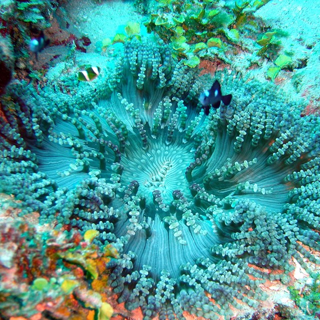
Through the use of satellite imagery and GIS data layers, landscape dynamics monitoring in Pacific Island Network (PACN) parks provides information on land use and land cover change. This monitoring protocol differentiates between natural and anthropogenic causes of land-condition change and allows natural resource managers to understand changes in land cover, pollution sources, avenues for exotic species, and other changes in surrounding lands.
Monitoring Objectives
- Document landscape dynamics for PACN parks every 10 years, identifying spatial and temporal characteristics of land use / land cover changes. A remote sensing based change vector analysis will be used to identify areas that have changed since the last analysis. Finer scale or field data will then describe change conditions.
- Map the distribution and density of infrastructure (e.g., roads and developments) within the wildland-urban interface of PACN parks every 5 years.
- Use tax assessor and US Census Bureau data, in addition to the current land use data identified above, to map the distribution and density of human habitation (e.g., population and housing density) within the wildland-urban interface surrounding PACN parks every 3-10 years.
Monitored At
-
 Ala Kahakai National Historic Trail
See what's monitored along the Ala Kahakai National Historic Trail.
-
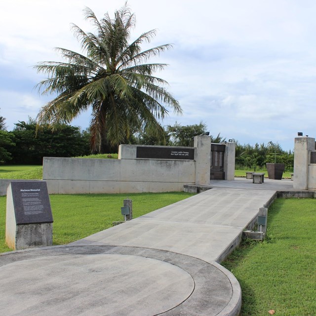 American Memorial Park
See what's monitored at Memorials at American Memorial Park.
-
 Haleakalā National Park
See what's monitored at Haleakalā National Park.
-
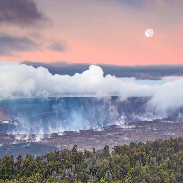 Hawaiʻi Volcanoes National Park
See what's monitored at Hawaiʻi Volcanoes National Park.
-
 Kalaupapa National Historical Park
See what's monitored at Kalaupapa National Historical Park.
-
 Kaloko-Honokōhau NHP
See what's monitored at Kaloko-Honokōhau National Historical Park.
-
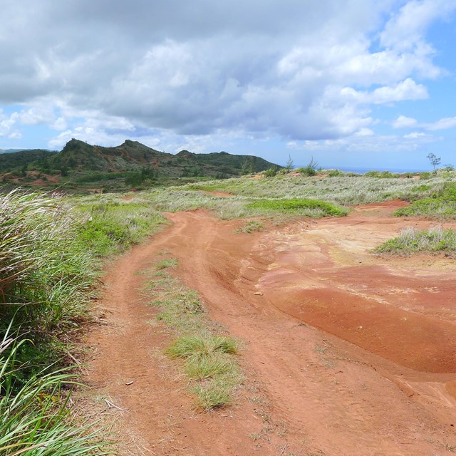
 National Park of American Samoa
See what's monitored at National Park of American Samoa.
-
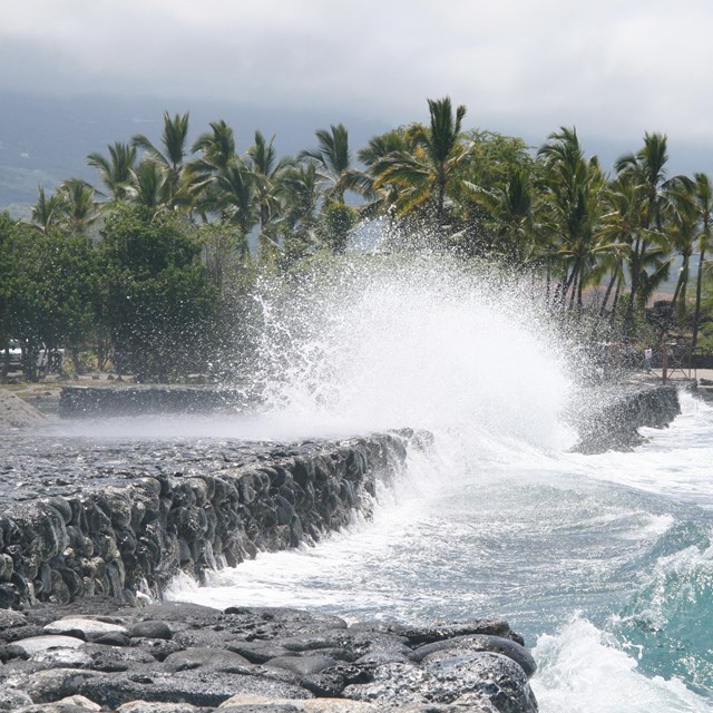
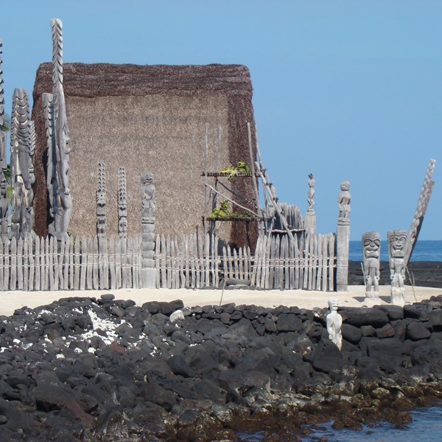 Pu‘uhonua o Hōnaunau NHP
See what's monitored at Pu‘uhonua o Hōnaunau National Historical Park.
-
 Pu‘ukoholā Heiau National Historic Site
See what's monitored at Pu‘ukoholā Heiau National Historic Site.
-
 War In The Pacific NHP
See what's monitored at War In The Pacific National Historical Park.
Last updated: December 21, 2023