New from the park: Sagamore Hill
Geologic Resources Inventory Report
NPS Photo
About the Park
Sagamore Hill National Historic Site is the home of our 26th president, Theodore Roosevelt. Located on the peninsula of Cove Neck on Long Island, New York, and nestled between Oyster Bay and Cold Spring Harbor, Sagamore Hill is an expanse of farmland, oak-chestnut-tulip forest, and salt marsh. Roosevelt purchased it in 1883. After selling part of it to relatives, he built a large country house overlooking the water at the top of the hill. His family later sold off more acreage until Sagamore Hill became the 35-hectare parkland we see today.
Sagamore Hill’s 20-hectare forest makes up much the park, despite having experienced an onset of chestnut bark disease and significant tree loss. Together with Eel Creek salt marsh, the easternmost forest was designated by Congress as a “Natural Environmental Study Area” in the early 1970s. Since Roosevelt’s time, the areas around Sagamore Hill have developed into fragmented suburbs. With it, invasive species – including Japanese and Norway maples, English ivy, wisteria, and tree of heaven – have encroached into parklands, posing a challenge to park management.
Our Work with Sagamore Hill
Sagamore Hill is the cultural heritage of a man and president who appreciated and cared for nature. To ensure the park’s natural resources are well-managed and protected, the Northeast Coastal and Barrier Network, along with Sagamore Hill staff, collects ecological monitoring data for a number of ecosystem vital signs. Learn about our work below.
Monitored here:
Publications
Source: NPS DataStore Saved Search 5650. To search for additional information, visit the NPS DataStore.
Monitoring Reports
-
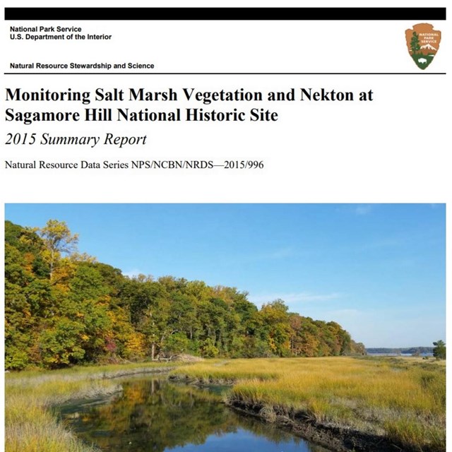 Sagamore Hill NHSSalt Marsh Reports
SAHI Salt Marsh Monitoring Reports
-
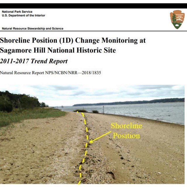 Sagamore Hill NHSOcean Shoreline Reports
SAHI Ocean Shoreline Monitoring Report
Last updated: July 22, 2024