Bridget Ye / NPS Photo
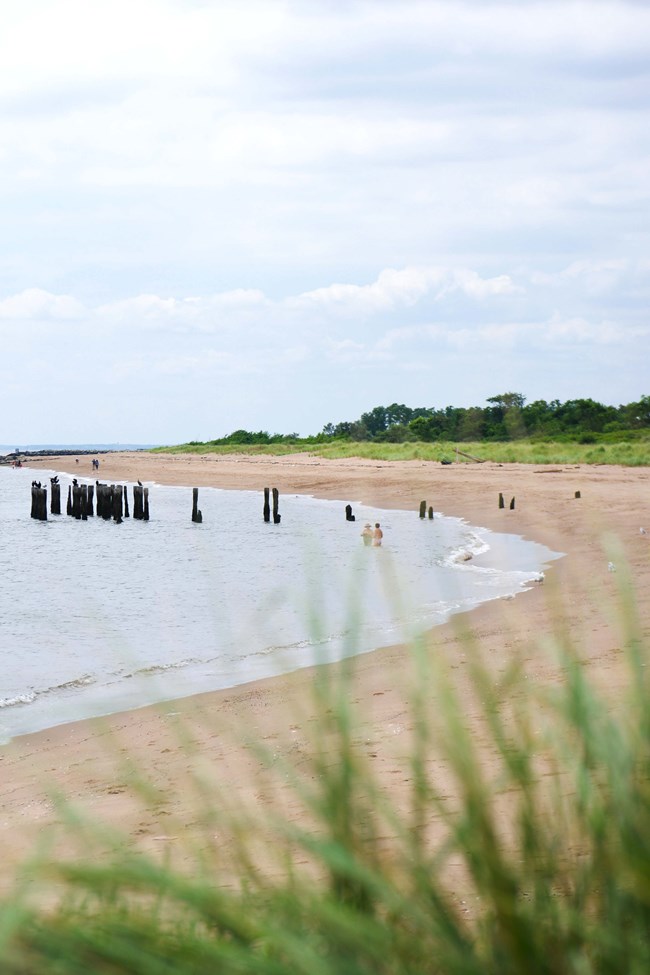
Changes to where a shoreline sits and how fast it’s changing affects the nature of a habitat, the behaviors of wildlife, and the infrastructure and livelihoods of people who live close to the seas. With rising sea levels, about 70% of the world’s sandy shores are eroding. A significant portion of it comes from how people change the ocean floor. Shoreline dredging, for instance, removes sand from the waters near a beach and creates a ditch in the ocean floor. The beach then erodes and slumps into the water to fill the ditch and restabilize the ocean floor.
The Northeast Coastal and Barrier Network monitors ocean shoreline position as a vital sign, in addition to coastal topography. Our research reveals changes to dynamic coastlines over time and helps park managers make informed decisions when protecting natural and cultural resources.
How We Monitor
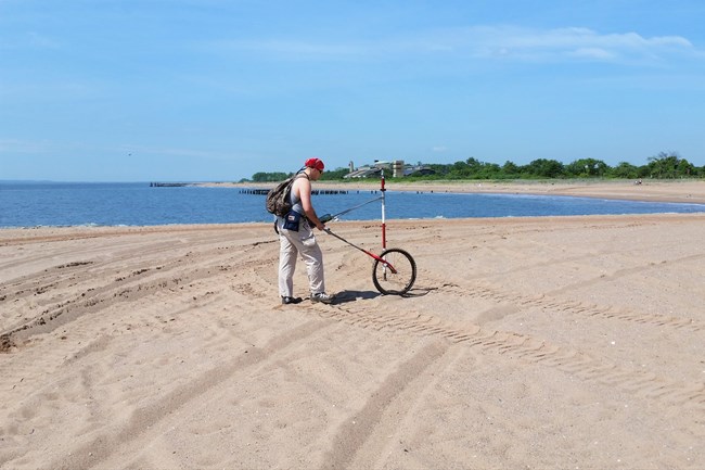
- Configure GPS receiver to record a coordinate every second and mount receiver to a four-wheel all terrain vehicle (ATV)
- Drive ATV at a relatively constant speed along the park’s entire ocean shoreline
- Repeat for each park, twice a year (spring and fall)
- Analyze collected coordinates for seasonal and annual trends in shoreline position over time

Andrea Spahn / Rutgers University
Where We Monitor
- Assateague Island National Seashore
- Cape Cod National Seashore
- Fire Island National Seashore
- Gateway National Recreation Area
- George Washington Birthplace National Monument
- Sagamore Hill National Historic Site
Source: NPS DataStore Saved Search 5658. To search for additional information, visit the NPS DataStore.
Source: NPS DataStore Saved Search 2162. To search for additional information, visit the NPS DataStore.

See It Up Close
We have a collection of interactive data visualizers that show how ocean shorelines have changed over time at the parks where we monitor this vital sign. The visualizers are also color-coded red and blue to show which parts of the shoreline have eroded and expanded.
Explore the visualizers
Last updated: July 26, 2024
