|
Please check the Superintendents Compendium page for additional restrictions and laws. If you have specific concern or question about a closure please call 307-739-3399. 
Seasonal Closures
For details and specifics, please see Superintendents Compendium. Not all closures may be listed on this page depending on size and timing, always follow any wildlife or temporary closure signs. These additional areas are temporarily closed for the safety of visitors and wildlife:No additional areas currently closed.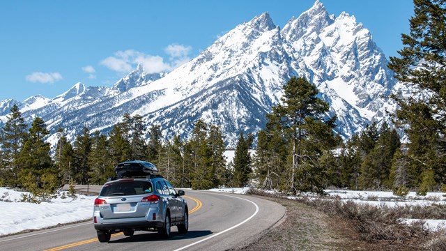
Road Information
Check road conditions and construction updates around the park. 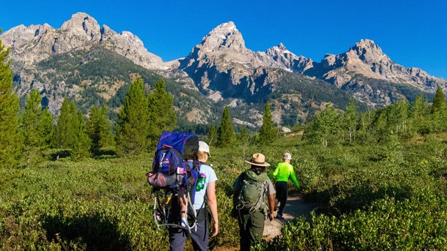
The Mountains are Calling
Grand Teton has a lot to offer whatever your interests. Explore the Plan Your Visit pages to help with your trip planning. |
Last updated: December 9, 2025