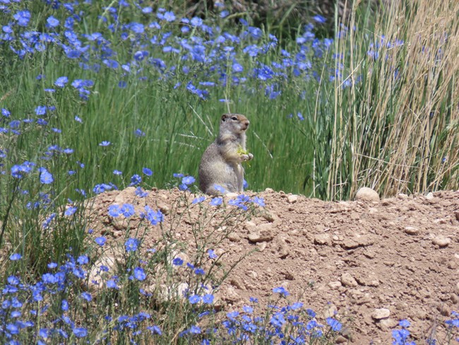
NPS / John Collins Here is an overview of the natural features of Fossil Butte: Location: Fossil Butte National Monument is located in southwest Wyoming near U.S. Highway 30, approximately 13 miles west of Kemmerer and 15 miles east of Sage Junction near the Utah/Wyoming state lines. Size: 8,198 acres (3319 hectares) Elevation: The lowest topographic point in the monument (where Chicken Creek passes beneath the road a short distance east of the monument's main entrance) is approximately 6,620 feet above mean sea level. The highest point is the 8,084 summit of the Bull Pen, in the northern end of the monument. Park History and Purpose: The monument was established in 1972 to protect and preserve a portion of the Green River and Wasatch formations which contain a unique fossilized assemblage of organisms that once lived in or around Fossil Lake, an ancient lake of Eocene age. Many other clues to the environment of Fossil Lake and its environs are also preserved in the Wasatch and Green River formations. General Description: The boundary of the monument encompasses high, cold desert lands dominated by sagebrush steppe vegetation. Precipitation averages between 9 and 12 inches per year; most of it falling as snow. The mean frost-free period is 59 days. Winters can be extremely cold with temperatures occasionally falling to -30ºF or less. Summer nights are cool with the temperature frequently dropping below 50ºF. Summer daytime temperatures rarely exceed 90ºF. The light-colored strata of the fossil-bearing Green River formation is exposed on the steep slopes of Fossil Butte, Cundick Ridge, Ruby Point, and elsewhere throughout Fossil Basin. The Wasatch formation underlies, overlies, and intermingles with the Green River formation, but, to the untrained eye, outcroppings of its colorful dull red, pink, lavender, purple, yellow, and gray strata appear to be scattered at random throughout the monument. Small, deep, steep-sided valleys, some named by the monument staff, dissect the highlands. In the northern end of the monument, the boundary juts to the west for more than a mile to enclose Ruby Point and the fossils it contains. Millet Canyon is located on the southern side of Ruby Point. Murder Hill, Middle, and Moosebones canyons dissect the eastern side of the monument's highlands. Cundick Ridge is a narrow, eastern extention of the highland that forms the northeastern horizon when viewed from the visitor center. The southern side of Moosebones Canyon is formed by Cundick Ridge. Fossil Butte, Cundick Ridge, and the Wasatch Saddle form the east side of the Chicken Creek watershed. Chicken Creek is an interrupted, intermittent stream with ephemeral tributaries, that drains approximately 2/3 of the land within the monument. Most of the area visible from the visitor center back porch lies within the Chicken Creek watershed. Springs and seeps supply water to the headwaters of Chicken Creek, but the stream is usually dry for most of its length, generally flowing only in late winter and early spring with snow melt, or briefly in response to major storm events. |
Last updated: April 29, 2025
