News Release
You are viewing ARCHIVED content published online before January 20, 2025.
Please note that this content is NOT UPDATED, and links may not work. For current information,
visit https://www.nps.gov/aboutus/news/index.htm.

NPS/Giovanna Ponce
|
Subscribe
|
Contact: abby Wines
DEATH VALLEY, Calif. – An atmospheric river caused a temporary setback in Death Valley National Park’s ongoing recovery from Hurricane Hilary. Most of the park’s primary roads have reopened. The rain enhanced the scenic temporary lake at Badwater Basin.Death Valley is the driest place in North America, typically receiving about 2 inches of rain per year. The official weather gauge at Furnace Creek has measured 4.9 inches in the past six months, with most of that happening in just two events: the remnants of Hurricane Hilary (2.2 inches on August 20) and the recent atmospheric river (1.5 inches from February 4-7).
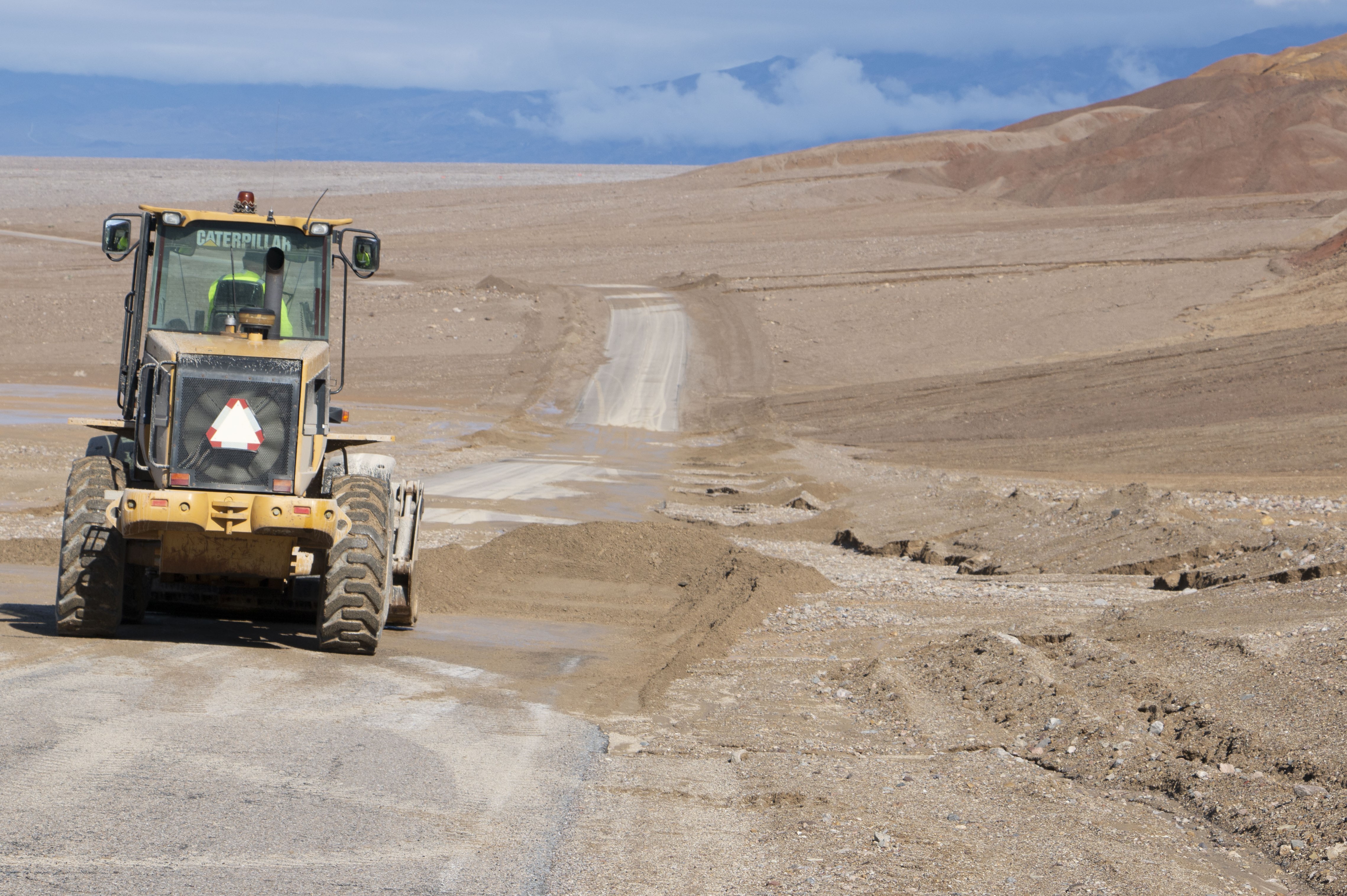
Several park roads were closed after flash flooding on the night of February 6. Caltrans removed debris and reopened CA-190 by mid-morning on February 7. The National Park Service cleared debris and reopened Badwater Road by late afternoon. Side roads to some attractions are still closed, including Dantes View, Artists Drive, Devils Golf Course, Mustard Canyon, and Twenty Mule Team Canyon. Full information on park status is at nps.gov/deva.
Temporary lake
Most Death Valley visitors will remember a vast salt flat at Badwater Basin. Heavy rain in August filled the valley floor with a vast, shallow lake. At its largest, it was about 7 miles long, 4 miles wide, and two feet deep. By late January it had shrunk to about half that size, and was inches deep.
“Most of us thought the lake would be gone by October,” said park ranger Abby Wines. “We were shocked to see it still here after almost six months. This week’s rain will extend how long the lake is here. It’s too shallow to kayak in, but it makes amazing reflections of the mountains.”
Snow
The recent storm brought snow down to about 4,000 feet in the park, leaving snow-capped mountains.
Flowers
The flower season on the valley floor and alluvial fans is late February through early April. Park rangers say a “good bloom” is likely, but not a superbloom. Flowers have been blooming in isolated middle-elevation areas of the park since late November.

NPS/Giovanna Ponce

NPS/Elyscia Letterman
Last updated: September 23, 2024
