News Release
You are viewing ARCHIVED content published online before January 20, 2025.
Please note that this content is NOT UPDATED, and links may not work. For current information,
visit https://www.nps.gov/aboutus/news/index.htm.

NPS/Towner
|
Subscribe
|
Contact: Abby Wines, 760-786-3221
DEATH VALLEY, Calif. – Death Valley National Park is still recovering from flash floods in August and September. The National Park Service (NPS) opened parts of Badwater Road and Wildrose late afternoon on September 21. Many roads are still closed, leaving no road connecting the eastern and western parts of the park.Badwater Road is open from CA-190 to Badwater Basin. This provides access to the iconic salt flats located 282 feet below sea level at Badwater Basin, the lowest point in the United States. Artists Drive and Golden Canyon Trail are also open. Natural Bridge, Devils Golf Course, and West Side Roads are closed pending repairs. Badwater Road is closed from Badwater Basin to CA-178 and Shoshone, CA.
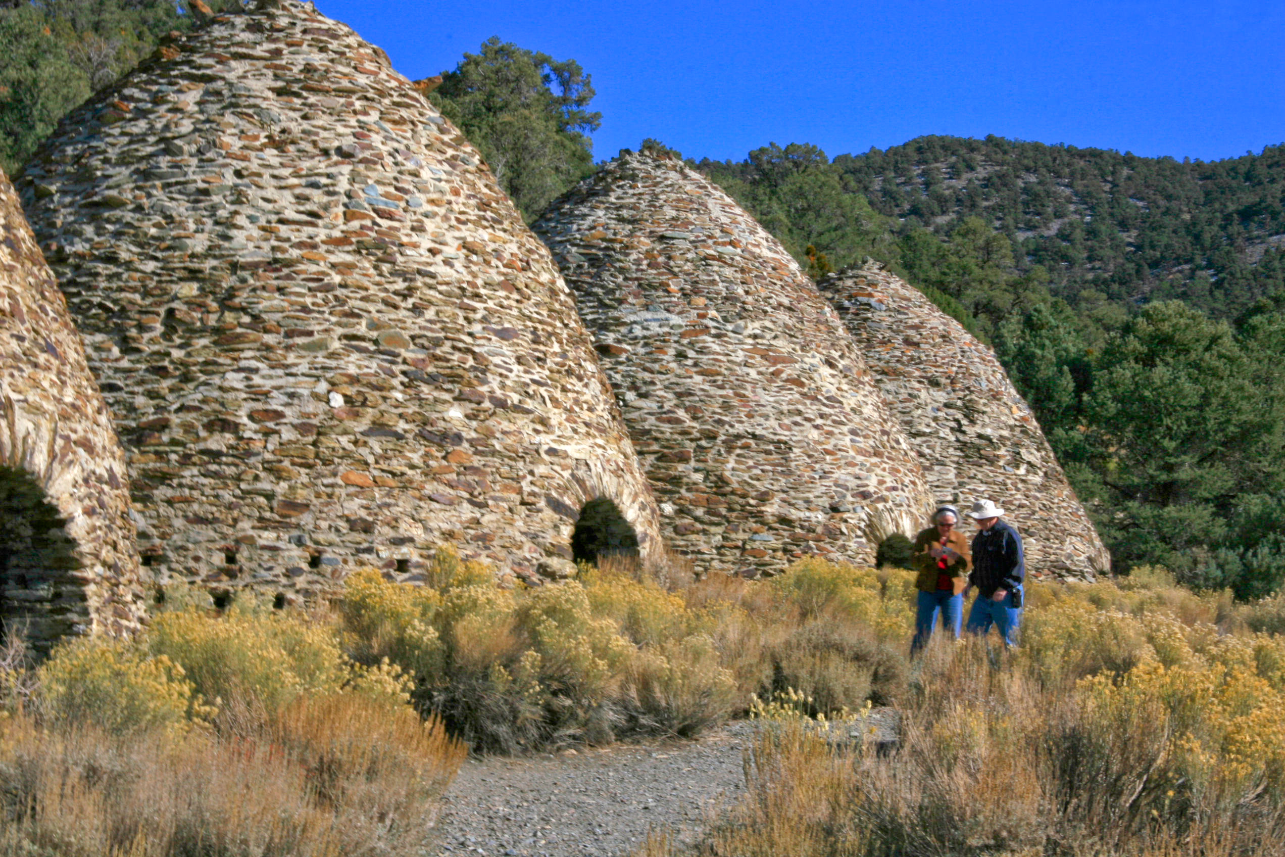
Emigrant Canyon and Upper Wildrose also opened on Wednesday afternoon. This provides access to four high-elevation free campgrounds: Emigrant, Wildrose, Thorndike, and Mahogany Flat. Wildrose Peak Trail and Telescope Peak Trail are available, and early fall is a great time to hike at high elevations.
There are no through-roads open in Death Valley National Park and most Park entrance roads are closed. Drivers should check the Park’s website for current road conditions. Mapping apps should not be relied upon because they have been repeatedly showing closed roads as open.
Some backcountry roads have been so damaged that the road corridor is no longer clear. Those roads, including Racetrack, Cottonwood/Marble, Titus Canyon, Echo, and Hole in the Wall, are closed until the NPS can re-establish the legal route.
Flash floods occurred in the Park on July 29 and 31; August 5, 16, 18, and 25; and September 10, 11, and 13. NPS, Caltrans, and Inyo County road crews have cleared and re-cleared roads over this time.
Last updated: September 22, 2022

