Related PagesAccess to the inner canyon and wilderness routes is limited to the Warner Route (by reserved permit), Red Rock Canyon (by reserved permit), and other routes not burned in the 2025 South Rim Fire. The Gunnison and Tomichi routes are closed until further notice. All North Rim routes remain open. Do not enter closed or burned areas until further notice.
Hikers are expected to find their own way and be prepared for self-rescue. While descending, study the route behind, as this will make it easier to wayfind when confronted with a choice of routes and drainages on the way back up. The routes are the easiest, and sometimes only, path to the river. Poison ivy is nearly impossible to avoid, and can be found growing 5 feet tall along the river. Pets are not allowed in the Black Canyon of the Gunnison Wilderness. What to BringThe hike into and out of the canyon and is very strenuous. Giardia is in all water sources, including the river, therefore all water must be purified. In your pack, you should include:
Wilderness CampingYou may camp at the “bottom” of the wilderness routes, by the Gunnison River. There are established campsites at the bottom of each route. We highly recommend you bring a bear-proof canister. Wilderness Use Permits are required. Routes in WinterExploration of the wilderness during the winter is at your own risk. Winter hikers attempting the inner canyon routes should be prepared with snowshoes, crampons, ice axe, and possibly a rope. Most of the North Rim routes are snow covered from November to April. Water is not available at either rim during the winter months, so make sure to bring your own. 
NPS/Ethan Crump Pinyon Draw(formerly known as S.O.B. Draw) Park vehicles in the pull through near the campground registration board, or at the North Rim Ranger Station. The route begins at the access ladder along the fence line just east of the campground. This is on the right side of the road when traveling from the ranger station to the campground. Follow the path to the top of the drainage gully and descend on the far right of the route.
Back to Top 
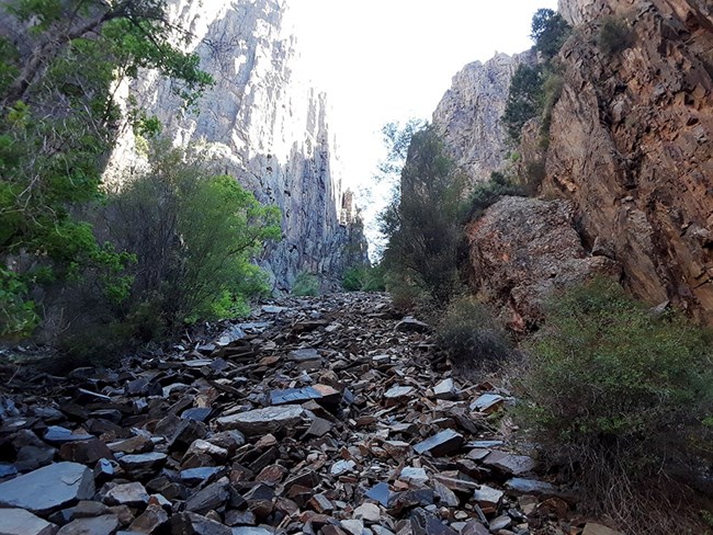
NPS photo by Erik Anderson Long DrawFormerly called Devil's Slide, Long Draw brings the hiker into one of the narrowest parts of the canyon, where canyon walls tower above the swiftly moving Gunnison River. The route has short ledges to climb (8-12 ft, 3 m), with one nearly vertical ledge approximately 1/3 way down. Because this draw is narrow, hikers can experience shade for most of the day. There is plenty of poison ivy along the bottom of this route. Park at Balanced Rock Overlook, and walk northeast to the bend in the road. The descent begins at the road. Pass through a small area of box elder trees at the rim and scramble down the gully to the river.

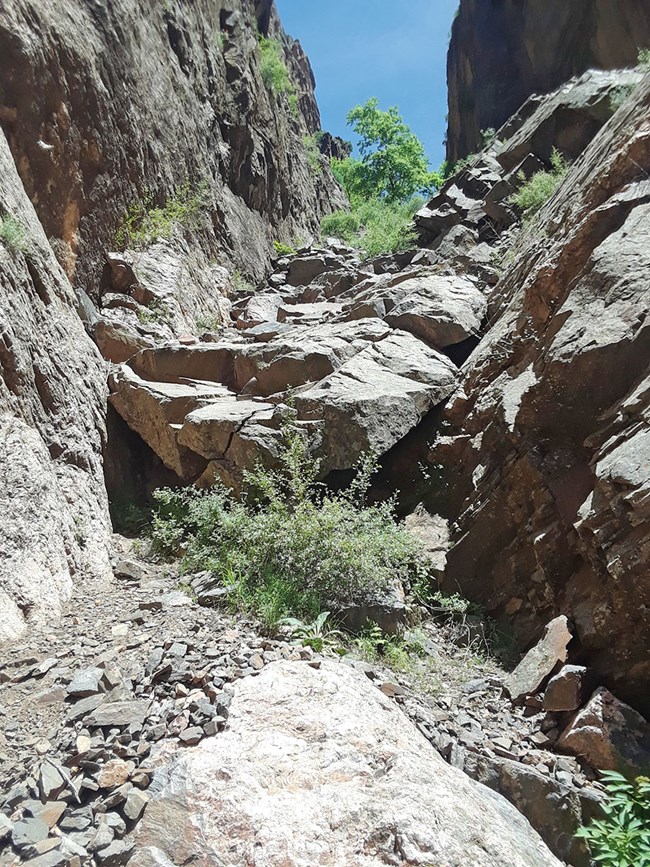
NPS photo by Erik Anderson Slide DrawThis route is extremely steep and the most potentially dangerous due to loose rock and poor footing. A 30-foot nearly vertical scramble is required to start the route. Because this draw is narrow, hikers can experience shade for most of the day. Park at Kneeling Camel Overlook, and walk east until you reach the head of the draw. Follow the draw to the river, taking extra caution due to the large abundance of loose rocks.
Back to Top *Walking Along the RiverThe mileages listed as "River Access" are the maximum distance available to a hiker along the river at low water levels (300-350 cubic feet per second). Wading in the cold river (50F) is hazardous and not recommended, and at levels above 450-500 CFS the combination of high, swift water and cold temperatures increases the danger. Rocks along the shore can be moss encrusted and very slick. Many individuals have been swept to their death in the Gunnison River. Wilderness Orientation Video
|
Last updated: November 13, 2025

