Lance Rosier Unit

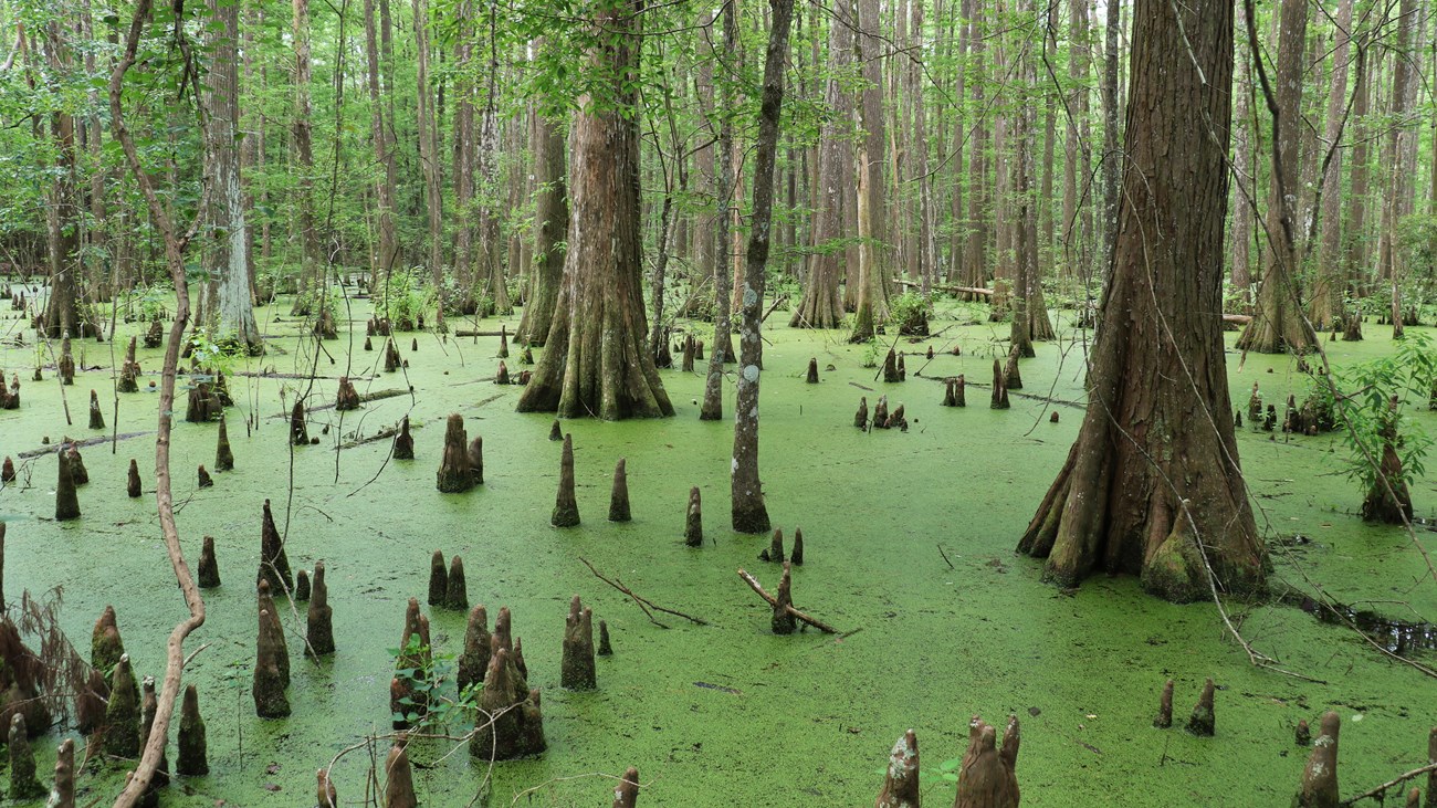
cypress tree trunks and cypress knees growing in a green swamp
Find a large swamp full of cypress knees along Teel Road.

NPS Photo / Andrew Bennett

24,828 acres
Hardin County


Opportunities

  • Backcountry camping (March–September)
  • Fishing
  • Hunting (October–February)
 

Overview

This vast, wild section of Big Thicket National Preserve is named for Lance Rosier (1886–1970), a Saratoga resident who fought to protect the Big Thicket from destruction. Born and raised in the Big Thicket, Rosier was a self-taught expert on its flora and fauna. He was known to guide people on field trips into the thicket where he would share his vast knowledge with anyone who wanted to listen, from politicians to professors to people just passing through town. Rosier’s efforts led to the creation of the preserve in 1974, four years after his passing.
Hiking in the Lance Rosier Unit is difficult and has been known to challenge even the most prepared hikers and campers. Dense brush and muddy, swampy conditions make it easy to see why 19th-century settlers considered this the “heart” of the Big Thicket.

There are no facilities or maintained trails here. All hiking in the unit is off-trail. Adventurous hikers enjoy camping in the backcountry in spring and summer. Hunting is allowed in the unit in fall and winter. Both camping and hunting require a free permit from the visitor center in Kountze.

 
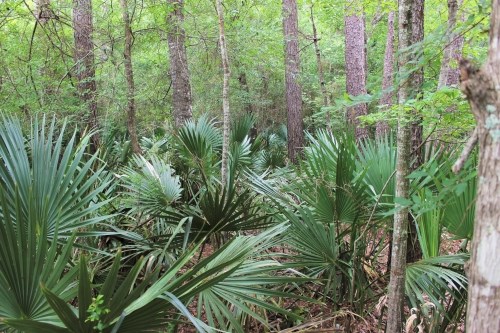
palmettos growing on the forest floor
The Lance Rosier Unit is home to dense patches of palmettos.

NPS Photo / Scott Sharaga

Ecology

Little Pine Island Bayou meanders slowly through the western portion of the Lance Rosier Unit. Palmettos, with their recognizable fan-shaped fronds, grow abundantly in the palmetto hardwood flats along the bayou. Keep an eye out for baygalls, swampy pockets of standing water teeming with life. Find a large swamp with towering cypress and tupelo trees on the west side of Teel Road, approximately 1.5 miles south of FM 770.

Other plant communities in this unit include pine savannah wetland, slope forest, bottomland floodplain, and cypress slough.


Trails

There are no established trails in the Lance Rosier Unit. Hikers are welcome to explore off-trail. Old, unpaved roads provide opportunities for hiking in the unit. Hikers should be self-reliant and carry a GPS device for off-trail navigation. Use the hunting map below for more detail.
Lance Rosier Unit Hunting Map »

 
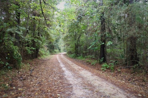
road covered in leaves winding through the woods
Teel Road winds its way through the woods.

NPS Photo / Andrew Bennett

Location

The Lance Rosier Unit is located in the triangle of land between Kountze, Saratoga, and Sour Lake. A few unpaved roads enter the unit, all east of Saratoga. The Rosier Park Road, off of FM 770, leads to Teel and Cotten Roads. Little Rock Road enters the unit from TX 326 south of Kountze.

  • Visitors should be prepared for muddy, washed-out roads. Following heavy rains, roads could be impassable.
  • GPS-enabled devices are essential for traveling in and around the unit; road signs may be missing or not visible.
  • Rosier Park Road passes by active oil wells before entering the unit; be cautious of large trucks entering the roadway.

GPS Coordinates for Points of Interest:

  • Large Cypress Swamp
    30.263818, -94.513223

  • Teel Cemetery
    30.258308, -94.512203

  • "Bridge to Nowhere" over Little Pine Island Bayou
    30.260502, -94.525517

 
bridge over creek with cypress knees growing in the foreground
The "Bridge to Nowhere" spans Little Pine Island Bayou.

NPS Photo / Scott Sharaga


Ranger Recommendations

Loading results...
     

    Last updated: December 1, 2024

    Park footer

    Contact Info

    Mailing Address:

    6044 FM 420
    Kountze, TX 77625

    Phone:

    409-951-6700

    Contact Us