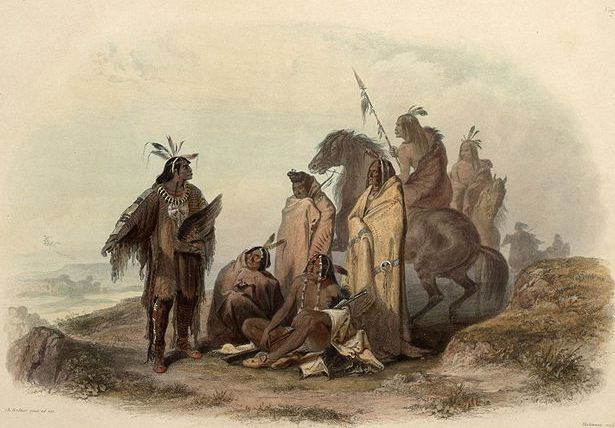
Library Of Congress On a vast, windswept, upland prairie in the heart of Absaroka, Crow Country, approximately eight miles south west of Fort Smith, is a small, inconspicuous promontory. Closer inspection reveals twenty-three, small U shaped rock, defensive bulwarks set up in circular formation as if the occupants were surrounded. It is readily apparent to any visitor that some kind of defensive battle must have taken place here long ago. This is the site of the Grapevine Creek Battle, which took place around the mid 1800’s between the Crow (Apsaalooke)and the Piegan Blackfeet (Itshipite) Indians. It is one of the largest known intertribal battle sites in the country. Absaroka - Homeland Of The Crow Finest Horsemen On The Plains As they traveled, these war parties would try very hard to go unseen through enemy country, they would camp along the rivers in the cottonwoods and brush or on some high timbered butte where they could watch the country. They would read the movements of buffalo, elk, antelope and deer herds as we read a book. If the animals browsed slowly and did not look alarmed there was a good chance no two legged’s were around and it would be safe to cross open country. If they read these signs wrong it could mean disaster for there war party. Often, these war parties were lead by a medicine man that would take his pipe and tobacco, and go off alone to smoke and pray for dreams of the outcome of their journey. The Crow like the area west of Bighorn Canyon because of its abundant wildlife and good hunting. This area was one of the last hold outs for the buffalo as they were being slaughtered by white hunters, far to the south. The terrain itself, as you can see if you visit the area, offered them several buffalo jumps. Furthermore, the canyons, were very good natural traps to channel buffalo into killing zones. This was the homeland of the Mountain Crow. Blackfoot Warriors On Grapevine Creek However, this small Crow hunting party was returning to a large hunting camp located about five miles from the battle site. When the Piegans realized they had been spotted, by Crow hunters butchering a buffalo, they immediately retired to a small knoll and began erecting stone breastworks. They knew they had small chance of outrunning Crow warriors mounted horseback. |
Last updated: February 24, 2015
