Last updated: July 17, 2024
Article
NPS Geodiversity Atlas—Upper Delaware National Scenic and Recreation River, New York and Pennsylvania
Geodiversity refers to the full variety of natural geologic (rocks, minerals, sediments, fossils, landforms, and physical processes) and soil resources and processes that occur in the park. A product of the Geologic Resources Inventory, the NPS Geodiversity Atlas delivers information in support of education, Geoconservation, and integrated management of living (biotic) and non-living (abiotic) components of the ecosystem.

Introduction
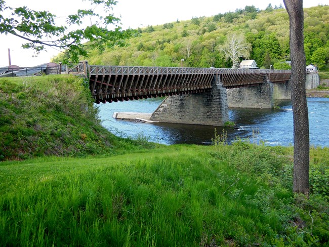
Upper Delaware Scenic and Recreational River (UPDE) is a 118 km (73.4 mi) stretch of the Delaware River located in the Appalachian Plateau along the Pennsylvania–New York border in Pike and Wayne Counties, Pennsylvania and Delaware, Orange, and Sullivan Counties, New York. Authorized as an NPS park unit on November 10, 1978, UPDE was designated for outstandingly remarkable cultural, recreational, scenic, and ecological values (Anderson 2017). The park encompasses approximately 30,351 hectares (75,000 acres) of fluvial (stream-cut) landscape amid rolling hills and riverfront villages at one of the finest fishing rivers in the northeastern United States.
Geologic Setting
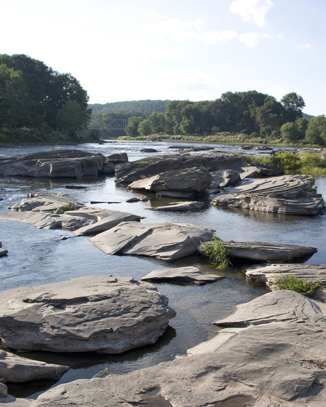
The bedrock geology of Upper Delaware Scenic and Recreational River predominantly consists of Paleozoic rocks of the Devonian Period (~420–360 million years ago). The Upper Devonian rocks in the upper Delaware River valley are a puzzling complex of clastic strata. The complexity derives from two factors: 1) the confusing regional nature of the strata themselves, and 2) the diverse, even conflicting, schemes by which geologists have defined, named, and ordered the strata (Frank Fletcher, pers. comm., 2021). Stratigraphic units of the park include (from oldest to youngest) the Mahantango, Trimmers Rock, and Catskill Formations. A marked diversity of unique geologic landforms exists throughout the river corridor and include glacial deposits, glacial outwash terraces, bedrock knobs, cutoff incised meanders, island complexes, and narrow, deep gorges. Sandstone cliffs, clearly evident at places like the Hawks Nest, consist of ancient river channel deposits that display a wide variety of bedding features, including crossbedding, ripple marks, current lineation, tool marks, mud cracks, and conglomerates. Fossilized remains recovered in UPDE are dominated by Devonian paleobotanical specimens, representing early land plants.
Regional Geology
Upper Delaware National Scenic and Recreation River is a part of the Appalachian Plateaus Physiographic Province and shares its geologic history and some characteristic geologic formations with a region that extends well beyond park boundaries.
- Scoping summaries are records of scoping meetings where NPS staff and local geologists determined the park’s geologic mapping plan and what content should be included in the report.
- Digital geologic maps include files for viewing in GIS software, a guide to using the data, and a document with ancillary map information. Newer products also include data viewable in Google Earth and online map services.
- Reports use the maps to discuss the park’s setting and significance, notable geologic features and processes, geologic resource management issues, and geologic history.
- Posters are a static view of the GIS data in PDF format. Newer posters include aerial imagery or shaded relief and other park information. They are also included with the reports.
- Projects list basic information about the program and all products available for a park.
Source: NPS DataStore Saved Search 3187. To search for additional information, visit the NPS DataStore.
A NPS Soil Resources Inventory project has been completed for Upper Delaware National Scenic and Recreation River and can be found on the NPS Data Store.
Source: NPS DataStore Saved Search 3212. To search for additional information, visit the NPS DataStore.

Related Links
Related Articles
Upper Delaware National Scenic and Recreation River
National Park Service Geodiversity Atlas
The servicewide Geodiversity Atlas provides information on geoheritage and geodiversity resources and values within the National Park System. This information supports science-based geoconservation and interpretation in the NPS, as well as STEM education in schools, museums, and field camps. The NPS Geologic Resources Division and many parks work with National and International geoconservation communities to ensure that NPS abiotic resources are managed using the highest standards and best practices available.
