Last updated: January 21, 2026
Article
Cultural Landscapes by Bicycle
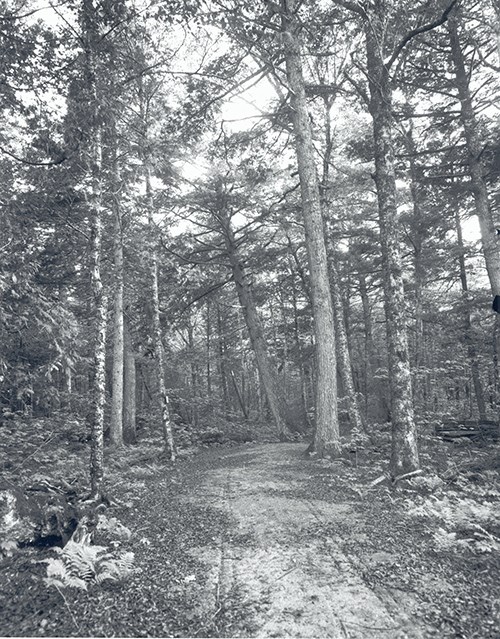
NPS Photo / Herbert W. Gleason
From the 45 miles of crushed-rock and gravel carriage roads in Acadia National Park, to the two miles of East Shore Trail recently opened to mountain biking at Rocky Mountain National Park, bike options at national parks across the country can provide access to the scenic, historic, and recreational values of a place. The recently-installed repair stands on Skyline Drive, bicycle-only campgrounds on Natchez Trace Parkway, and bike share option for touring the National Mall are a few of the ways that bike exploration is encouraged.
These three routes in the southeast region are just a few of the paths to exploring park cultural landscapes by bike:
- Loop Road at Cades Cove Historic District
- Mammoth Cave Hike and Bike Trail
- Mountain Biking Big South Fork National River and Recreation Area
Cades Cove Historic District
European-American settlers arrived in Cades Cove by the early 1820s. Prior to their arrival, Cherokees had practiced subsistence agriculture and hunting in the central and southern Appalachians. One of the earliest European-American settlements in the Great Smoky Mountains National Park, Cades Cove supported a subsistence agricultural community. The fertile valley was divided into fields and pastureland, the lower slopes of the mountains were cleared for crops and working woodlots, and cattle and sheep grazed high on mountain balds above the valley floor. The homesteads, churches, mills, and schools were connected by a loop road that encircled the open valley floor.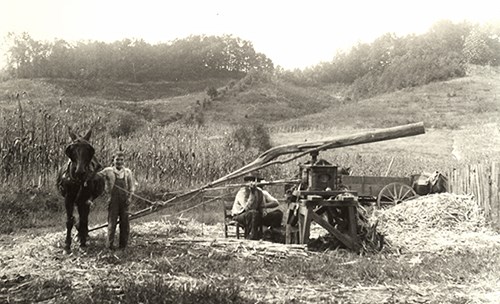
NPS Photo / Laura Thornburgh
The one-way loop road that travels through the historic district provides access to several homesteads that have been restored to their eighteenth- and nineteenth-century appearance. A wide variety of historic structures and landscape features, including three churches, corn cribs, a blacksmith shop, smokehouses, and barns, are connected by the road. There are several cemeteries dating to the historic period in Cades Cove, as well as road traces, fencelines, walls, and trails. During the early settlement period, much of the valley floor was cleared for pasture and crops. The grassy valley retains this open feeling, and hillsides are shaded by pine, hemlock, maple, and tulip poplar trees.
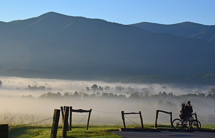
NPS Photo / Jim Bennett
Bike Cades Cove
Explore this cultural landscape at Great Smoky Mountains National Park by bicycle
Mammoth Cave Bike and Hike Trail
Completed in 2007, the nine mile Mammoth Cave Bike and Hike Trail connects Mammoth Cave National Park with the gateway community of Park City. The Bike and Hike Trail is part of the nationwide Rails to Trails network that transforms former rail lines into multi-modal transportation corridors. The gravel path begins at the main hotel lodge parking lot in the Core Visitor Services Area. Although there are multiple points from which to access the trail. Interpretive information is located along the path, which is gravel with occasional steep grades.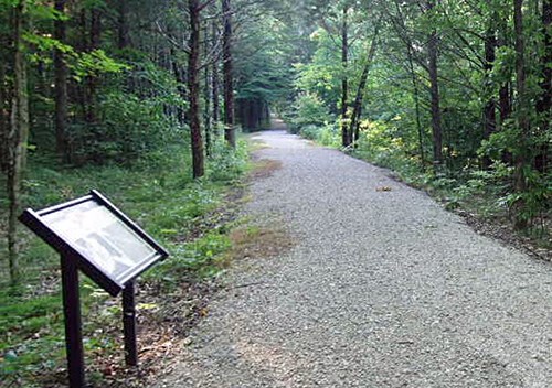
NPS Photo

NPS Photo
Bike Mammoth Cave
Explore the cultural landscape of Mammoth Cave on the Bike and Hike Trail
Big South Fork Mountain Biking
Mountain biking is a popular recreational activity at Big South Fork National River and Recreation Area. Located on the border of Tennessee and Kentucky, the park boasts almost 300 miles of trails accessible to bicycles. This includes several miles specifically dedicated to mountain biking, ranging in difficulty and skill level. Many of the trails were built by the Big South Fork Bike Club, a group of volunteers dedicated to maintaining the trails. In 2012, Big South Fork National River and Recreation Area was the first national park unit to receive the coveted International Mountain Biking Association’s “Epic Ride” designation, which indicates a unique backcountry riding experience.
NPS Photo
View a map of the West Bandy Creek - Collier Ridge Mountain Bike Route (9.8 miles)
NPS Photo
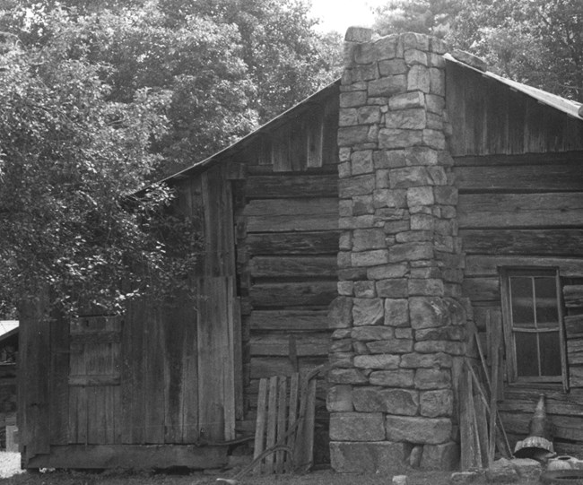
There are also contemporary structures and landscape features on the site, including a farmhouse and barn from around the 1950s, an uncompleted root cellar, NPS feeding bins, and fences. The diverse resources of the district are united historically and physically by their association with farming activity and rural life in the Upper Cumberland from the early 1800s through the mid-1900s.
Bike Big South Fork
Explore Oscar Blevins Farmstead and other landscapes of the Cumberland Plateau by mountain bike
Plan Your Ride
Many national park units allow mountain biking on designated trails and dirt roads, in addition to countless more that welcome road cycling on pavement. For an enjoyable and safe ride, follow all rules of the road, use designated bicycle routes, and definitely take time to explore your surroundings.
