Last updated: December 1, 2025
Article
SECN Highlights June 2022

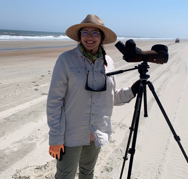
Photo courtesy of Abigail Gonzalez
Network's New SIP Intern
Abigail "Abby" Gonzalez is the 2022 Scientists in Parks (SIP) Ecology Intern at the Southeast Coast Network. Abigail grew up in Puebla, Mexico, where her childhood dream to work in the beautiful outdoors was born. She earned a Bachelor of Science in Environmental Science at the University of Houston. She worked as a Land Steward at Hermann Park Conservancy in Houston for the last couple of years conducting several projects in habitat restoration and conservation. As the SIP Ecology Intern, Abigail is assisting with vegetation monitoring this summer including work at the current park, Cape Lookout National Seashore. In her free time, Abigail loves to dance, roller skate, thrift shop, and go on scuba diving trips. Welcome to the Network, Abigail!

NPS photos / Daniel McCay
SECN staff
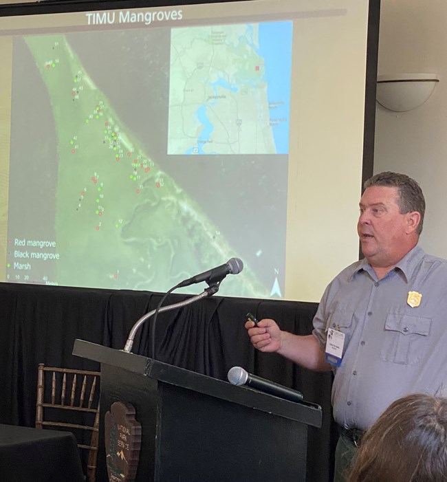
Ches Presents at the TIMU Symposium
The Southeast Coast Network's William "Ches" Vervaeke participated in the Timucuan Science and History Symposium, held April 28 at the Ribault Club in Jacksonville, Florida. Ches, the network's coastal ecologist, presented Marching Mangroves: The Hunt for the Northernmost Mangrove, along with Timucuan's Fiona Southwell and former SECN staff member, Claire Schmidt. The annual event is sponsored by Timucuan Ecological and Historic Preserve.
Paper Published
Ches co-authored a research paper examining the effects of CO2 and sedimentation on a transitional marsh, recently published on Plants, a semi-monthly online platform from the Multidisciplinary Digitial Publishing Institute (MDPI). The paper highlighted work at USGS's Wetlands and Aquatic Research Center in elevated CO2 greenhouses. Ches used a modified Surface Elevation Table (SET) to measure elevation change in experimental units. Findings included that positive elevation change slows after sediment is added (presumably due to ongoing compaction).
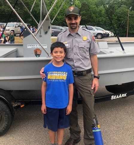
Photo courtesy of Eric Starkey
Career Day for Eric
Eric Starkey, the SECN Aquatic Ecologist and Acting Network Program Manager, participated in Colham Ferry Elementary School’s “Careers on Wheels” day. The event was a great opportunity to visit with students about a career in natural resources and how the NPS Inventory and Monitoring Division helps to preserve and protect our National Parks. Students checked out the SECN boat, saw a water quality sonde recording data and took a water sample with a horizontal sampler.
Daniel McCay / SECN staff
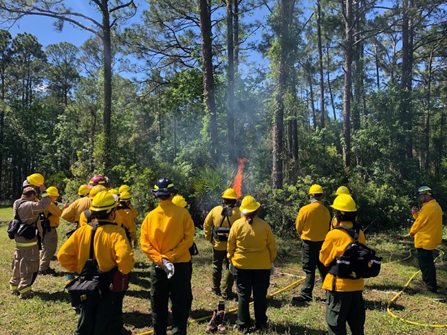
Daniel Attends Fire Training
Daniel McCay, SECN Hydrologic Technician, recently completed a Fire Training Course at First Coast Technical College's Public Safety Campus in St. Augustine, Florida. The five-day course covered basic wildland firefighter training as well as basic fire behavior and was taught by Chance Hines, a firefighter with the city of St. Augustine. Daniel was the only member of the National Park Service to attend. Most of the students were Florida Department of Environmental Protection employees or volunteers. They burned a block size area of forest behind the campus on the last day. Interestingly, the brush still lit up easily even though the area had received approximately three inches of rain the day before. One cause could be that many plants in that area have oils or resins that are flammable.

Photos courtesy of Elizabeth Rico

NPS photos / Mark Hynds

NPS photo / Daniel McCay
NPS photo / Daniel McCay
Tags
- cape hatteras national seashore
- cape lookout national seashore
- canaveral national seashore
- fort matanzas national monument
- timucuan ecological and historic preserve
- cumberland island national seashore
- fort frederica national monument
- fort pulaski national monument
- congaree national park
- moores creek national battlefield
- chattahoochee river national recreation area
- horseshoe bend national military park
- kennesaw mountain national battlefield park
- ocmulgee mounds national historical park
- coastal wetlands monitoring
- shoreline change monitoring
- vegetation community monitoring
- wadeable stream habitat monitoring
- water quality monitoring
- park-wide assessments
- estuarine water quality
- timucuan ecological and historical park science and history symposium
- colham ferry elementary careers on wheels
- first coast technical college
- city of st. augustine fire department
- surface elevation table
- imd
- inventory and monitoring division
- secn network highlights
