Last updated: August 21, 2025
Article
SECN Highlights December 2023

FY2024 Workplan Approved at Steering Committee Meeting
The Southeast Coast Network's FY2024 Workplan was approved by the SECN Board of Directors at the annual Steering Committee meeting held in November at Ocmulgee Mounds National Historical Park. Thanks to everyone who was able to attend and provide feedback on our program. Special thanks to OCMU Superintendent Carla Beasley and her staff for hosting, and OCMU's Gregory Luna Golya for a great tour of the park. Copies of the approved workplan were sent to the SECN Steering Committee representatives, meeting attendees, and Park Superintendents. Let us know if you have any questions.

NPS photos / M. Forbes Boyle.
Katie and Wayne in the Community
Hydrologic Technician Katie Dagastino and Wildlife Intern Wayne Ryan recently volunteered with Rivers Alive, picking up trash, planting grass and flowers, and collecting water samples along the North Oconee River near downtown Athens, Georgia. More than 150 volunteers, including Katie and Wayne, picked up 1,920 pounds of trash, 780 pounds of recycled material, 560 pounds of scrap metal and 33 tires, of which Wayne got three of them! In addition, the volunteers planted 300 native grasses and flowers and collected water samples from 28 sites. Rivers Alive, a joint program of the Georgia Environmental Protection Division's Outreach Education Programs and the Keep Georgia Beautiful Foundation, is part of the continuing statewide campaign to clean and preserve over 70,000 miles of Georgia’s rivers and streams. Great job Katie and Wayne!

Photos courtesy of Katie Dagastino.
Ches co-authors paper on Corrected Digital Elevations Models
Coastal Ecologist William "Ches" Vervaeke recently co-authored a publication, Corrected Digital Elevation Model in Coastal Wetlands in Nassau and Duval Counties, Florida, 2018. Vegetation and elevation data for the project were collected at Timucuan Ecological and Historic Preserve. The study’s main objective is to reduce the elevation error of the digital elevation model (DEM) in coastal wetlands in and around the park. Sea-level rise is expected to transform habitats across the entire coastal zone including forested wetlands, freshwater marshes, and upland forests and grasslands. Natural resource managers need to know the magnitude of these changes and have the most accurate elevation data to assist with future-focused land management and decision-making. Periodically produced DEMs provide high-resolution elevation data that can be used to monitor coastal zone changes, but elevation bias is typically unknown in wetlands and can be substantial. The paper is available at USGS ScienceBase Catalog. Great work Ches!
Stephen at UNG GIS Day
Physical Scientist Stephen Cooper lectured at the University of North Georgia's GIS Day, sponsored by UNG's Institute for Environmental and Spatial Analysis in Gainesville, Georgia. Stephen described how geospatial data and analysis are used in monitoring efforts at the Southeast Coast Network.

NPS photo.

NPS photo / Chad Thomas.
Learning about Wilderness First Aid
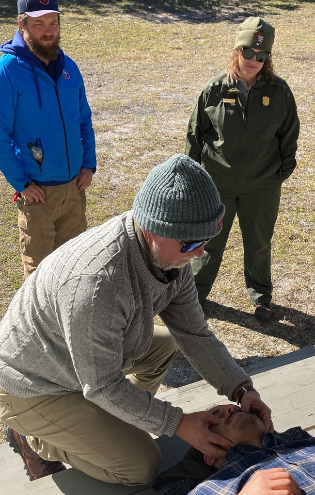
The SECN Botanist Forbes Boyle and Biological Technician Mallorie Davis joined staff from Cumberland Island National Seashore in late November on the island to participate in Emergency Medical Services training hosted by staff from the Office of Wilderness and Survival Medicine at the Medical College of Georgia. The day-long training provided general information regarding emergencies and incidents within wilderness environments like those found on Cumberland Island. Five wilderness medicine experts were on site to address topics that included: CPR and use of AEDs on adults and young children, heat and cold emergencies, dealing with a patient going into anaphylaxis, snake and insect bites, patient assessment and packaging, wheeled litter, response to lightning and drowning emergencies, and park-specific procedures for responding to and reporting out emergency incidents. The training also served as an orientation to the new partnership between the Seashore and the Medical College of Georgia. Future, topic-specific trainings held twice a year are expected.
SECN Staff Participate in RSS Workshop
Staff from the Southeast Coast Network including Botanist Forbes Boyle, Aquatic Ecologist Eric Starkey, Coastal Ecologist William Vervaeke, and Wildlife Biologist Michael Parrish provided input on important natural resources of Cumberland Island National Seashore and Fort Frederica National Monument during the recent Resource Stewardship Strategy Workshop. Input was solicited from park staff and regional partners to develop a planning document that bridges the gap between the park's foundation document and everyday management of natural and cultural resources at the park. Julie Bell and her team from the Denver Service Center guided the group through the process with CUIS-FOFR Chief of Resources Michael Seibert and his staff providing hospitality and a tour of both parks. The SECN staff will continue to assist with reviews of the final documents but also gained valuable insight into the day-to-day operations and concerns of a park where our main focus is on Vital Signs monitoring.
Using SECN Data to Help NPS Fire Management
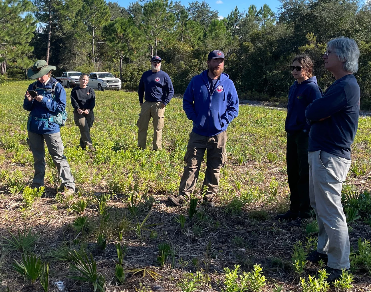
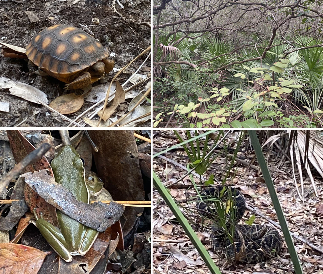
In November, SECN Botanist Forbes Boyle met with the Southeast Regional Fire Ecologist Rob Klein along with fire ecology staff from the South Florida Fire and Aviation District and fire managers from Cumberland Island National Seashore to discuss fire management objectives related to fuel load reduction and ecological condition on the island. The group set goals to prioritize areas for continued prescribed burning, focusing on sites that provide habitat for gopher tortoises, minimize impacts to structures during wildfire events, and improve quality of barrier island pine flatwoods. Monitoring approaches to track success of these objectives were also a focus of the week-long meeting, including utilizing data already being collected within SECN long-term vegetation monitoring plots in most of the high-priority fire management areas to supplement other monitoring efforts conducted by the fire team.

NPS photo / M. Forbes Boyle.

SECN staff / Wayne Ryan
Recent Publications
The Southeast Coast Network recently published the following reports:
- Monitoring Coastal Wetland Elevation in Southeast Coast Network Parks: Protocol Implementation Plan. Available at: DataStore - Monitoring coastal wetland elevation in Southeast Coast Network parks: Protocol implementation plan (nps.gov)
- Terrestrial Vegetation Monitoring at Kennesaw Mountain National Battlefield Park: 2021 Data Summary. Available at: DataStore - Terrestrial vegetation monitoring at Kennesaw Mountain National Battlefield Park: 2021 data summary (nps.gov)
- Standard Operating Procedure 2.3.05 Monitoring Coastal Wetland Elevation Data QA/QC and Data Publication-Version 1.0. Available at: DataStore - Standard Operating Procedure 2.3.05 Monitoring Coastal Wetland Elevation Data QAQC and Data Publication—Version 1.0 (nps.gov)
- Standard Operating Procedure 1.3.22 Conducting the Global Position System Shoreline Survey-Version 1.1. Available at: DataStore - Standard Operating Procedure 1.3.22 Conducting the Global Positioning System Shoreline Survey—Version 1.1 (nps.gov)
- Standard Operating Procedure 1.3.21 Survey Timing and GPS Mission Planning for Coastal Shoreline Monitoring-Version 2.1. Available at: DataStore - Standard Operating Procedure 1.3.21 V 2.1 Survey Timing and GPS Mission Planning for Coastal Shoreline Monitoring—Version 2.1 (nps.gov)
- Standard Operating Procedure 2.3.10 Post Survey GPS Data Processing-Version 2.0. Available at: DataStore - Standard Operating Procedure 2.3.10 Post Survey GPS Data Processing—Version 2.0 (nps.gov)
- Standard Operating Procedure 2.3.11 Coastal Shoreline Monitoring Annual Change Analysis-Version 2.0. Available at: DataStore - Standard Operating Procedure 2.3.11 Coastal Shoreline Monitoring Annual Change Analysis—Version 2.0 (nps.gov)
Tags
- southeast coast inventory and monitoring network
- ocmulgee mounds national historical park
- timucuan ecological and historic preserve
- digitial elevation model
- usgs sciencebase catalog
- gis
- kennesaw mountain national battlefield park
- horseshoe bend national military park
- congaree national park
- chattahoochee river national recreation area
- fort pulaski national monument
- cape hatteras national seashore
- cape lookout national seashore
- moores creek national battlefield
- fort matanzas national monument
- canaveral national seashore
- vegetation community monitoring
- landbird community monitoring
- vocal anuran community monitoring
- estuarine water and sediment quality
- fixed station water quality
- coastal elevation monitoring
- shoreline change monitoring
- wadeable stream monitoring
- secn network highlights
