Last updated: December 1, 2025
Article
SECN Highlights August 2022

SECN staff
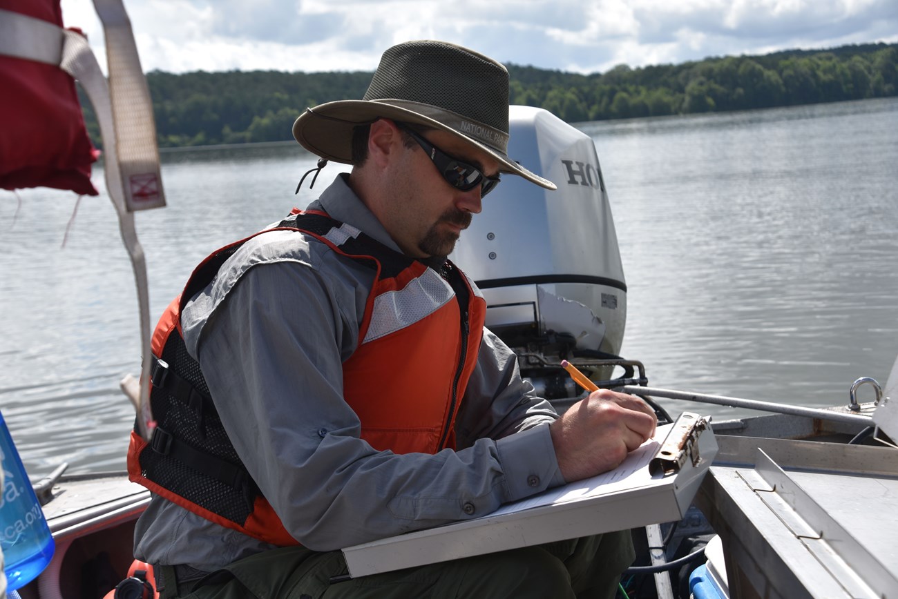
Eric earns Regional Award for Excellence
Eric Starkey, the SECN Aquatic Ecologist, was recently recognized with a Regional Director's Award for Professional Excellence in Natural Resources. "Eric received this award for his contributions to natural resource stewardship due to his continued efforts to monitor water resources across our network and his recent efforts to upgrade, update, and streamline our water monitoring program’s processes and documentation, said SECN Program Manager Brian Gregory. "Eric’s dedication, hard work and team leadership have ensured that our parks will continue to get high-quality data to inform resource managers and have helped make the SECN water monitoring program one of I&Ms best."
SECN staff
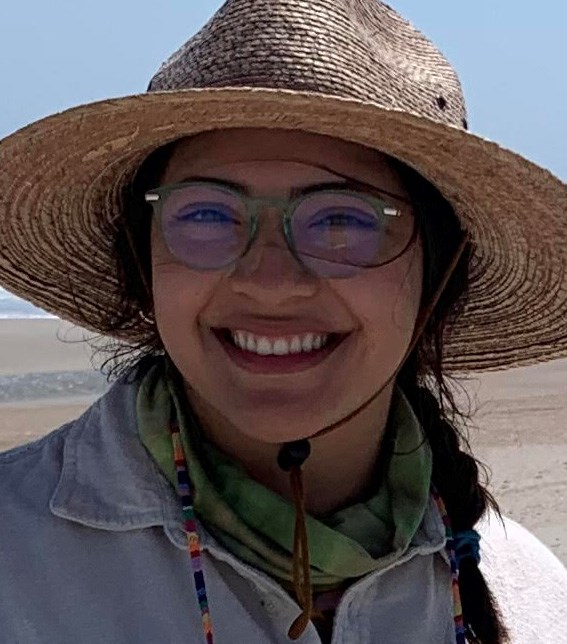
Abby is the new Physical Science Technician
Abigail "Abby" Gonzalez is transitioning to a new role in the Southeast Coast Network. The 2022 Scientists in Parks (SIP) Ecology Intern is the new Physical Science Technician. She will be based at Timucuan Ecological and Historic Preserve, and will primarily work with Coastal Wetlands and Shoreline Monitoring programs. As the SIP Intern, she assisted with vegetation monitoring this summer at Cape Lookout National Seashore and Moores Creek National Battlefield. Originally from Puebla, Mexico, she holds a Bachelor of Science in Environmental Science from the University of Houston. Abby worked as a Land Steward at Hermann Park Conservancy in Houston for a couple of years on projects in habitat restoration and conservation.
Floating Down the River on the SECN YouTube Channel
Two riverine parks in the Southeast Coast Network, Chattahoochee River National Recreation Area and Horseshoe Bend National Military Park, requested information regarding the overall condition of the mainstem river channels flowing through their respective boundaries. In partnership with these parks, the network helped fund and contract with Trutta Environmental Solutions, LLC to perform High-Definition Surveys along the NPS managed lengths of the Chattahoochee and Tallapoosa Rivers. Data collected included habitat type (riffle, shoal, run, pool), condition of the left and right streambank, water depth and - somewhat unique- videoed the entire length of river within these parks. Videos capture the spectacular scenery from Buford Dam to the Palisades management unit on the Chattahoochee River, October 3-5, 2018; and 3.6 miles on the Tallapoosa River, May 17, 2019.
“Shoot the Hooch through Chattahoochee River National Recreation Area” and “Float the Tallapoosa River through Horseshoe Bend National Military Park" are available on the Southeast Coast Network's YouTube Channel. The Chattahoochee collection is consecutively numbered 1-7 from farthest upstream to farthest downstream showing both left and right banks. The Tallapoosa videos show the left bank in one and the right bank in the other. It is hoped that these videos give the parks a permanent record of the conditions along the river and provide virtual visitation opportunities for the public.
NPS photo / SECN staff
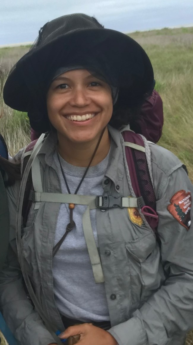
Goodbye Elizabeth
Former Biological Technician Elizabeth Rico has accepted a new position with the Bureau of Land Management as a Natural Resource Specialist based at the Palm Springs South Coast Field Office. Elizabeth had been with the Southeast Coast Network since the summer of 2019. Her primary role was assisting the terrestrial vegetation monitoring program, but she was also involved in other programs across the network. Elizabeth collected water quality data sondes at coastal parks and helped with maintenance of the shallow groundwater wells at Cumberland Island National Seashore. She also deployed and collected ARDs for the landbird and vocal anuran monitoring effort. Outside the network, Elizabeth assisted with prescribed burns at Cumberland Island and completed a two-week assignment as a Resource Fireline Advisor on the Devils Knob Complex fire incident in Umpqua National Forest in California. Beyond the field, Elizabeth was a member of the NPS Inventory and Monitoring Division's Cafe 2040 Working Group. Thank you, Elizabeth, for your commitment and hard work. We wish you much success with the BLM!

Photo courtesy of Michael Parrish
More Goodbyes: Lily graduates with Masters in Wildlife Science
UGA intern Lily Martin is graduating this month with a Master of Science in Wildlife Science from the Warnell School of Forestry and Natural Resources. She started with the Southeast Coast Network in July 2019 as a CESU Intern through the University of Georgia. Lily assisted SECN Wildlife Biologist Michael Parrish with deployments and retrievals of automated recording devices for landbird community and vocal anuran community monitoring in SECN parks. She became proficient in analyzing recordings to identify vocalizing anurans on the ARDs and co-authored several data summary reports with Michael. Lily’s graduate research used ARDs to study owl species in the Chattahoochee River National Recreation Area. Using acoustic spatial capture-recapture techniques, she was able to provide an estimate of great horned owl density in the park, which was consistent with estimates in other parts of the species' range. Lily also examined the impact of anthropogenic factors, including noise and light pollution, on great horned owl density and found a negative relationship between owl density and anthropogenic noise. After graduation, Lily wants to obtain a research biologist position focused on endangered species monitoring. Thank you, Lily, for all your efforts and best of luck in the future!
NPS photo / SECN staff
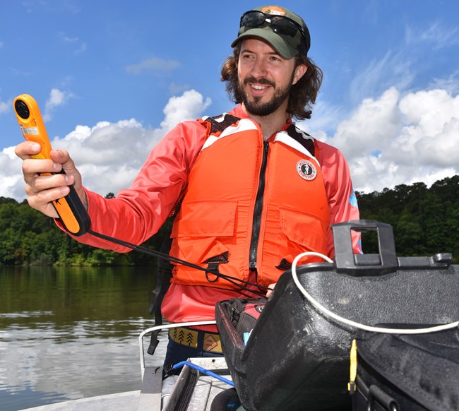
Still More Goodbyes: Daniel headed to EPA
Hydrological Technician Daniel McCay has accepted a Life Scientist position with the Environmental Protection Agency in Athens, Georgia. Daniel has worked with the Southeast Coast Network since February 2019 where his primary role was the collection of discrete and continuous data for the water-quality protocol. Daniel’s monthly “sonde runs” to Georgia, Florida and South Carolina made him a frequent face in many parks. In addition to Daniel’s work on water-quality data collection, he assisted with shallow ground water monitoring at Cumberland Island National Seashore, and helped complete numerous wadeable stream habitat surveys at Chattahoochee River National Recreation Area, Congaree National Park, Kennesaw Mountain National Battlefield Park, Horseshoe Bend National Military Park and Ocmulgee Mounds National Historical Park. Furthermore, Daniel was the primary author on several water-quality standard operating procedures and assisted with processing continuous data for numerous sites. His hard work, attention to detail and dedication have helped with many important transitions for the water-quality program. Thanks, Daniel, for your willingness to lend a helping hand on any project! Best wishes on your next adventure!
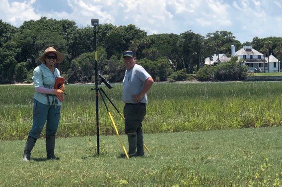
Photo by Ted Johnson.
Ches Co-Authors Paper on Surface Elevation Change in Coastal Marshes
SECN Coastal Ecologist Ches Vervaeke recently co-authored a paper titled, "Surface Elevation Change Dynamics in Coastal Marshes Along the Northwestern Gulf of Mexico: Anticipating Effects of Rising Sea-Level and Intensifying Hurricanes." It examines the idea that accelerated sea-level rise and intensifying hurricanes highlight the need to better understand surface elevation change in coastal wetlands. The study measured surface elevation change in 14 coastal marshes along the northwestern Gulf of Mexico, within five National Wildlife Refuges in Texas. The paper is available here.
Photo courtesy of SECN staff
Recent Publications
The Southeast Coast Network recently published the following reports:
- Terrestrial Vegetation Monitoring at Fort Matanzas National Monument: 2019 Data Summary. Available at: DataStore - Published Report - (Code: 2293409) (nps.gov)
- Resource Brief for Terrestrial Vegetation Monitoring at Fort Matanzas National Monument: 2019 Data Summary. Available at: DataStore - Resource Brief - (Code: 2287439) (nps.gov).
- Standard Operating Procedure 2.3.07 Monitoring Coastal Wetland Elevation Data Management and Database Technical Documentation—Version 2.0. Available at: DataStore - Standard Operating Procedure - (Code: 2292935) (nps.gov).
- Standard Operating Procedure Revision from the upcoming revision of the Protocol for Monitoring Estuarine Water and Sediment Quality in Selected Southeast Coast Network Parks:
- SOP 1.1.06 Estuarine Water and Sediment Shipping and Tracking of Laboratory Samples—Version 2.0. Available at: DataStore - Standard Operating Procedure - (Code: 2284582) (nps.gov)
- SOP 1.2.01 Park-wide Assessment Spatially-Balanced Sampling Location Generation Using ArcGIS 10—Version 2.0. Available at: DataStore - Standard Operating Procedure - (Code: 2284576) (nps.gov)
- SOP 1.2.02 Park-wide Assessment Navigation and Field Evaluation of Sampling Locations—Version 2.0. Available at: DataStore - Standard Operating Procedure - (Code: 2284594) (nps.gov)
- SOP 1.2.03 Park-wide Assessment Field Water Quality Measurements—Version 2.0. Available at: DataStore - Standard Operating Procedure - (Code: 2284595) (nps.gov)
- SOP 1.2.04 Park-wide Assessment Water Sample Collection and Processing—Version 2.0. Available at: DataStore - Standard Operating Procedure - (Code: 2284596) (nps.gov)
- SOP 1.2.05 Park-wide Assessment Benthic Sediment Collection and Processing—Version 2.0. Available at: DataStore - Standard Operating Procedure - (Code: 2284597) (nps.gov)
- SOP 1.2.07 Estuarine Water and Sediment Laboratory Analysis Method Performance Criteria and Requirements—Version 2.0. Available at: DataStore - Standard Operating Procedure - (Code: 2284602) (nps.gov)
- SOP 1.2.08 Fixed-Station Installation of Water-Quality Data Sonde Housings—Version 3.0. Available at: DataStore - Standard Operating Procedure - (Code: 2284578) (nps.gov)
- SOP 1.2.09 Fixed-Station Water-Quality Data Sonde Maintenance, Calibration, Deployment and Retrieval—Version 3.0. Available at: DataStore - Standard Operating Procedure - (Code: 2284553) (nps.gov)
- SOP 1.2.10 Fixed-Station Remote Sonde Deployment and Water Sample Collection Quick Guide—Version 2.0. Available at: DataStore - Standard Operating Procedure - (Code: 2284574) (nps.gov)
- SOP 1.2.11 Fixed-Station Water Sample Collection and Processing—Version 2.0. Available at: DataStore - Standard Operating Procedure - (Code: 2284575) (nps.gov)
- SOP 1.2.19 Parkwide Assessment Preparation for Fieldwork—Version 1.0. Available at: DataStore - Standard Operating Procedure - (Code: 2294038) (nps.gov)
- SOP 1.2.20 Park-wide Assessment Field Season Closeout—Version 1.0. Available at: DataStore - Standard Operating Procedure - (Code: 2294039) (nps.gov)
- SOP 2.2.04 Park-wide Assessment Water and Sediment Quality Data Summary Reporting Manual—Version 2.0. Available at: DataStore - Standard Operating Procedure - (Code: 2284678) (nps.gov)
- SOP 2.2.07 Estuarine Water-Quality Monitoring Data Management and Database Technical Documentation—Version 2.0. Available at: DataStore - Standard Operating Procedure - (Code: 2284577) (nps.gov)
- SOP 2.2.08 Fixed-Station Water-Quality Data Summary Reporting Manual—Version 2.0. Available at: DataStore - Standard Operating Procedure - (Code: 2284679) (nps.gov)
- SOP 2.2.09 Fixed-Station Continuous Water-Quality Data Entry, Processing, and QA/QC—Version 1.0. Available at: DataStore - Standard Operating Procedure - (Code: 2284604) (nps.gov)
- SOP 2.2.10 Fixed-Station Discrete Water-Quality Data Entry, Processing, and QA/QC—Version 1.0. Available at: DataStore - Standard Operating Procedure - (Code: 2284605) (nps.gov)
- SOP 2.2.11 Park-wide Assessment Data Entry, Processing, and QA/QC—Version 1.0. Available at: DataStore - Standard Operating Procedure - (Code: 2284600) (nps.gov)
- Standard Operating Procedure Revisions from the Wadeable Stream Habitat Monitoring Protocol Operational Review:
- SOP 1.2.14 Wadeable Stream Reach Selection and Location of Sampling Points—Version 1.1. Available at: DataStore - Standard Operating Procedure - (Code: 2293667) (nps.gov)
- SOP 1.2.18 Using a Total Station to Conduct a Stream Survey—Version 1.1. Available at: DataStore - Standard Operating Procedure - (Code: 2293670) (nps.gov)
- SOP 2.2.14 Wadeable Stream Data Processing and Analysis—Version 1.1. Available at: DataStore - Standard Operating Procedure - (Code: 2293671) (nps.gov)
- SOP 1.2.13 Wadeable Stream Field Season Preparation for Stream Monitoring—Version 1.1. Available at: DataStore - Standard Operating Procedure - (Code: 2293666) (nps.gov)
- SOP 1.2.16 Wadeable Stream Reach-Scale Field Data Collection—Version 1.1. Available at: DataStore - Standard Operating Procedure - (Code: 2293668) (nps.gov)
- SOP 1.2.17 Setting Up and Configuring a Total Station—Version 1.1. Available at: DataStore - Standard Operating Procedure - (Code: 2293669) (nps.gov)

NPS photo / Eric Starkey
Tags
- water and sediment quality assessment
- water-quality data monitoring
- cape lookout national seashore
- moores creek national battlefield
- chattahoochee river national recreation area
- horseshoe bend national military park
- chattahoochee river
- tallapoosa river
- park-wide assessments
- estuarine water quality
- cumberland island national seashore
- coastal wetlands monitoring
- surface elevation table
- cape hatteras national seashore
- canaveral national seashore
- timucuan ecological and historic preserve
- fort matanzas national monument
- vegetation community monitoring
- congaree national park
- ocmulgee mounds national historical park
- wadeable stream habitat monitoring
- wadeable stream habitat surveys
- landbird community monitoring
- anuran community monitoring
- fort pulaski national monument
- fort frederica national monument
- kennesaw mountain national battlefield park
- fort sumter and fort moultrie national historic park
- bureau of land management
- coastal surface elevation change
- mangroves
- globaljax
- secn network highlights
