Last updated: January 27, 2022
Article
Data Manager Profile: Judd Patterson

Judd Patterson
How a love of maps, historical data mining, and understanding nature paved a path to the National Park Service
“As a kid growing up in Kansas I loved the outdoors—camping, finding insects, hiking, and skipping rocks at the local lake. It wasn't necessarily the thing my family was most interested in, but I found ways to get outdoors with friends. I didn't realize it was influencing my career path; it was just the thing I liked to do.
"In high school one biology teacher in particular inspired so much curiosity and learning, and I took every class he offered. There were great learning adventures as we searched lichen for tardigrades, tagged monarch butterflies on migration, and learned how to make maps in GIS (Geographic Information Systems). Those experiences sparked several of my long-term interests in photography, birds, and computers.
"At Kansas State University I started by majoring in engineering and computer science. Very quickly I found that wasn't what really drove me, and within my first year, I transferred to biology. I remember wandering the halls to get a feel for this new college. It was a quiet limestone building with posters of frogs and fish on the walls and bundles of prairie grasses on the desks. I wondered what these people were doing, started chatting with them, and quickly felt a connection to their work.
"Most of them conducted research on a local long-term ecological research site called the Konza Prairie Biological Station, which shares many goals with the National Park Service Inventory & Monitoring program. That work inspired me down a path into data management: looking at natural areas and documenting how they're changing through time.
Bridging the gap: From academia to a federal career
“When I graduated, I didn't have a good idea of my next step, but there came an opportunity: a collaborative Cooperative Ecosystem Studies Unit (CESU) agreement with a local professor doing LIDAR (Light Detection and Ranging) mapping for national park sites in Florida. I had GIS experience, so I took a chance and had my first experience with the National Park Service.
"I arrived in Miami right after hurricane Wilma. Power lines were down everywhere and my new office was still recovering. As I drove into the impacted area, I really wondered what the heck I was doing. But I’m glad I took that chance and had fun working with new people and experiencing new parks and wildlife for the first time.
"After that experience I returned to Kansas State to work on my Master's degree, and my interests started coming together. I switched to the geography department, and my thesis was on the phenology (or timing) of bird migration through the Great Plains and how it has changed over time. The project combined data mining (looking into historic records), having a database to organize everything, birds (which is a huge passion of mine), and mapping.
"The ease of communicating information with a well-designed map intrigues me. At a glance, you can show changes through time or across the landscape that would be hard to verbalize or describe another way. The beauty of a well-crafted final product is a large part of the appeal for me.
"Data mining hits on a historical aspect that I love. I get a real thrill from the temporal connection with those that have been in places before us, and I enjoy the glimpse that they share of what things used to be like.
"After I finished my Master’s, I was fortunate that there were a number of new Inventory & Monitoring networks across the country that needed GIS assistance. I started my federal career as a GIS specialist in 2007, with the office that I still work for today: The South Florida Caribbean Network. A few years later I became the Data Manager.

On what makes the South Florida/Caribbean Network unique
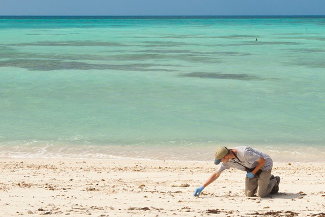
“The habitats and environmental challenges within my network are unique, and we are active year-round in both Florida and the U.S. Virgin Islands. My office sends staff underwater all the time to monitor coral reefs, lobster, seagrass, and reef fish. At other times we are implementing vegetation-based protocols in subtropical habitats, such as mangrove-marsh monitoring across Everglades National Park. Despite its huge size—more than one and a half million acres—the entire park is close to sea level, and small changes can have big impacts on the landscape. All of these unique projects keep us busy, but the reward is experiencing these national treasures in person.
On his role as a Data Manager
"In a nutshell, a Data Manager helps to wrangle all the data that we collect on the health of our park resources. My aim is to get our data sets out to park staff to inform management decisions and to preserve that information for generations down the road.
"I occasionally stumble upon a file in the archive and I'm amazed by what it includes. One recent find was an 1893 report from a group that visited the Dry Tortugas and wrote down species and other observations from their trip. How great is that? When monitoring is done right it can clearly survive generations. It makes me double down my efforts to ensure we're painting a clear picture for those who aren't here at this moment in time. With many of our parks experiencing rapid changes, we're at a critical moment to document the conditions around us.

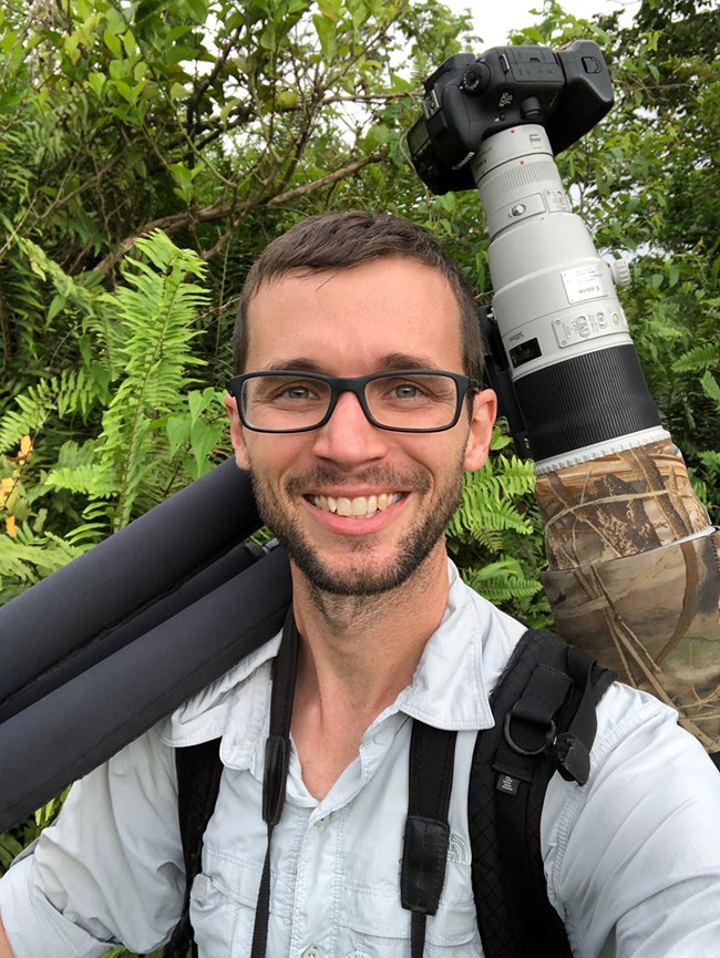
Outside of work? Find Judd documenting the natural world with his camera.
Nature photography is often how I spend my weekend mornings (and sometimes evenings). It’s a way to get out to a nearby natural area and take in a sunrise. And because I can't help myself, I take a bird list while I'm out. It's an extension of what I love to do for the park service, but I’m also following my own path.
Standout memories & reflections
There have been many, but I’ll always remember the Deepwater Horizon oil spill. As that tragedy unfolded, we rushed into action to collect as much baseline information as we could before the oil arrived. No one knew for sure how the oil was being moved by Gulf currents, so we were on guard for impacts to local wildlife and habitats. Our network provided a lot of expertise and assistance in the early phase of the response.
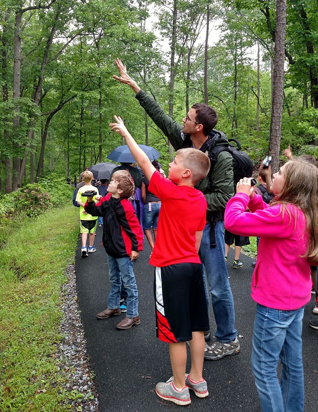
"Another standout moment was a huge bioblitz at Biscayne National Park co-sponsored by the National Geographic Society. We had visiting scientists streaming into this park in South Florida to spend 24 hours inventorying everything they could find. Thousands of observations were collected, and many participants were inspired by the magic of looking at the species that live in our parks.
"If we do our jobs right, we’re providing land managers with the data they need to make informed decisions while simultaneously providing baseline information for future generations. On top of it all we are so lucky to work in truly unique, inspiring landscapes."
Interview and profile edited for brevity by Maritte O’Gallagher, December 2020.
Additional Resources
South Florida Caribbean Network
Tags
- big cypress national preserve
- biscayne national park
- buck island reef national monument
- dry tortugas national park
- everglades national park
- salt river bay national historical park and ecological preserve
- virgin islands national park
- nps careers
- science
- profile
- people
- ecology
- in the field
- meet the scientist
- stem
- nrss careers
- sfcn
- south florida caribbean network
- data
- data manager
- data management
- inventory monitoring
- inventory and monitoring division
