Stop 4 - Fire!It was here at the crest of the hill where the Second Corps soldiers did most of their fighting and dying. Frederick Hitchcock from Pennsylvania remembered how upon “reaching the top of the knoll we were met by a terrific volley from the rebels in the sunken road down the other side, not more than one hundred yards away....The air was full of whizzing, singing, buzzing bullets.”Richardson’s Division arrived about an hour after French’s and replaced many of his shattered regiments. His supporting attack added over 4,000 muskets and extended the Union line of battle to the left.
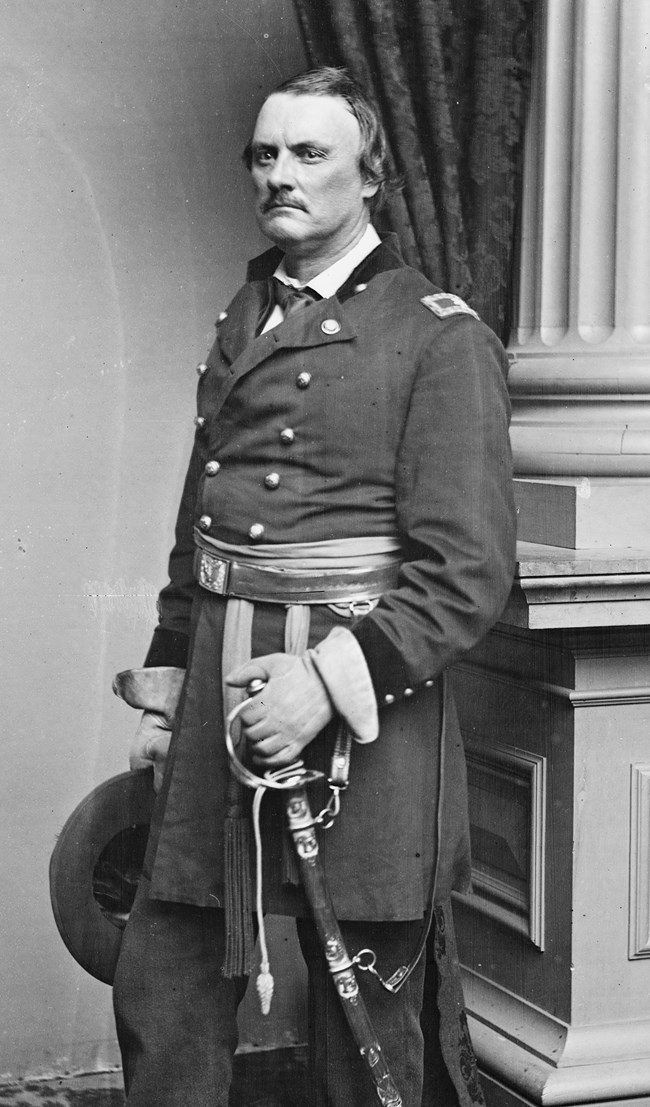
The battle reached a tempest of flame, smoke and noise. As one soldier remembered it was “a savage continual thunder that cannot compare to any sound I ever heard.” Another wrote how, “The air was now thick with smoke from the muskets that not only obscured our vision of the enemy, but made breathing difficult and most uncomfortable...we were forced to breath this powder smoke which burned the coating of nose, throat, and eyes almost like fire.” A member of the Irish Brigade said that their lines of battle “melted like wax before the fire.” Gen. John Caldwell’s brigade replaced Meagher’s, and it was these soldiers that would eventually break through and drive the Confederates from the Sunken Road.
Battle Map at Approximately 10:30 a.m. Note that the map is oriented facing south, looking toward Bloody Lane as you are from this position.

Push on to the opening in the fence and into Bloody Lane. Once there, turn around and face the direction from which you came.
|
Last updated: February 20, 2021
