|
You are viewing ARCHIVED content published online before January 20, 2025.
Please note that this content is NOT UPDATED, and links may not work. For current information,
visit https://www.nps.gov/aboutus/news/index.htm.
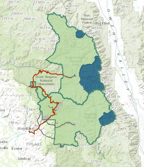
Contact: Dana Dierkes, 559-565-3131 Anyone can use a new interactive “park atlas” created by Sequoia and Kings Canyon National Parks to explore the dramatic geography of these parks and create custom maps. Its public availability coincides with the 99th anniversary of the National Park Service on August 25, 2015. People can find the atlas for Sequoia and Kings Canyon at go.nps.gov/SEKIatlas, by clicking the link found on the homepage of the main park website—www.nps.gov/seki, or by scanning a QR code. This electronic mapping tool includes data on visitor facilities, topography, boundaries, and aspects of the natural world. The process starts with a base map of topography or terrain. People then choose the layers of information they want to add on top of that, based on their interest. Layers include features such as wilderness boundaries and regulations; sequoia groves; rivers and lakes; and much more. Clicking on points of interest will provide data about the place. In addition, atlas users can add points, draw lines, measure distances, and incorporate text. These interactive features will not only assist visitors, but aid park staff in planning, as well. |
Last updated: August 25, 2015