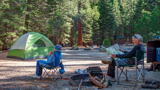
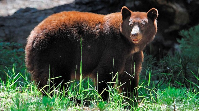
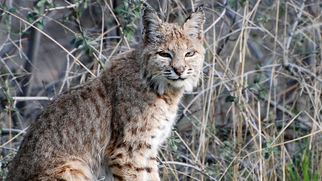
Skip to SearchSkip to NavigationSkip to BodySkip to Footer
National Park Service LogoU.S. Department of the InteriorNational Park ServiceNational Park Service
National Park Service:  U.S. Department of the InteriorNational Park Service Arrowhead
Sequoia & Kings Canyon National Park Lenticular clouds over Sierra Nevada.-- Peter Stekel Photo
view map
text size: largest larger normal
printer friendly

Important Alerts:

New 22’ length limit on Generals Highway from Hospital Rock to Giant Forest. Sheep Fire in Cedar Grove: Expect smoke morning and evening; Don Cecil Trail is closed in the park until further notice.
more...

Welcome to a Land of Giants

This landscape testifies to nature's size, beauty, and diversity – huge mountains, rugged foothills, deep canyons, vast caverns, and the world’s largest trees!

These two parks lie side by side in the southern Sierra Nevada, east of the San Joaquin Valley. Activity varies by season and elevation, which ranges from 1300' to 14,494'.

 
Sequoia National Park sign

Planning your visit

 
River rapids at Marble Falls

Dangerous Rivers

Rivers swollen by runoff from snowmelt are particularly dangerous in spring. People drown in the park every year! Stay safe by being aware of drowning hazards.

Learn more about drowning hazards here...

 
Road construction on Generals Highway

Road construction in progress

Generals Highway from Hospital Rock to Giant Forest Museum is now closed to vehicles greater than 22 feet (6.5 m) in length until December 31, 2010. Read more about length restrictions...

Road improvement projects have begun in areas throughout Sequoia and Kings Canyon National Parks. Delays up to two hours are possible. No weekend closures are planned. Read more about current road conditions...

 
Alpine lake

Visiting in summer

Summer brings hot and dry weather to the foothills. The rivers may be tempting, but dangerous, swift currents continue through summer. The mid-elevation sequoia groves offer cooler temperatures. This peak season offers plentiful choices in outdoor activities! Read more about planning your summer visit...


Write to

Sequoia & Kings Canyon National Parks
47050 Generals Highway
Three Rivers, CA 93271-9700

E-mail Us

Phone

Visitor Information
(559) 565-3341

Wilderness Information
(559) 565-3766

Fax

(559) 565-3730

Climate

These parks range from 1,500 feet to 14,494 feet in elevation and conditions can vary drastically at different locations within the parks. The Foothills are characterized by mild, wet winters and hot, dry summers. Rain usually occurs from January to mid-May; rain in the summer is rare. The Middle Elevations offer warm days and cool evenings in the summer and snowy and icy winters with below-freezing temperatures.
more...
Skip to SearchSkip to NavigationSkip to BodySkip to Footer
View of switchbacks on Generals Highway below Moro Rock in Sequoia Park.

Did You Know?
The 16 steep, narrow road miles from Ash Mountain to Giant Forest include 130 curves and 12 switchbacks. A vehicle-length advisory of 22 feet (6.7 m) is suggested for the 12 steepest miles within that stretch.