|
What sort of hike do you want to take today? Fancy a peaceful stroll down to the river, looking for birds and wildlife, or a glimpse of migrating salmon? Or are you in the mood to push your limits, climb to the heights and watch the world unfold below you? Short or long, low elevation or high, there are hundreds of miles of trails awaiting your discovery throughout the season. Under an Hour
NPS / David Hursey Newhalem Area Trails330 ft (91 m) to 1.8 miles (2.9 km) 
NPS Photo Happy Creek Forest WalkMile Post 134 One to Two Hour Hikes
NPS / Lin Skavdahl Thunder Knob TrailMile Post 130 
NPS / Rosemary Seifried Thunder Creek TrailMile Post 130 
NPS / Astudillo Ross Dam TrailMile Post 134 Half Day Hikes
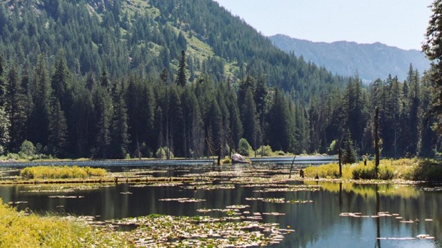
NPS Photo Pyramid Lake TrailMile Post 127 
NPS / Astudillo Diablo Lake TrailMile Post 128 
NPS / Pat Milliren Easy Pass TrailMile Post 151 
NPS / Rosemary Seifried Stetattle Creek TrailMile Post 126 Full Day Hikes
NPS / C. Gudgeon Thornton Lakes TrailMile Post 117 
NPS / Michael Silverman Sourdough Mountain TrailMile Post 126 
NPS / Rosemary Seifried Fourth of July Pass TrailMile Post 130 
NPS / Mack Kolarich East Bank TrailMile Post 138 
NPS / Deby Dixon Cascade Pass TrailLocated at the end of the Cascade River Road 
NPS / Kristen Doering Monogram Lake TrailOff the Cascade River Road 
NPS / Bonnie Seifried Hidden Lake TrailOff the Cascade River Road |
Hiking in Stehekin
Explore the many trails in the Stehekin area. 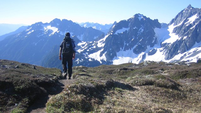
Hiking Safety
Plan on hitting the trail? Be prepared! 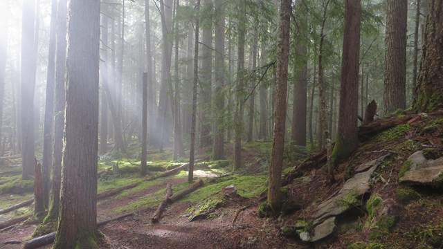
Trail Conditions
General conditions and a trail-by-trail list of the most recent conditions reports. |
Last updated: March 11, 2026