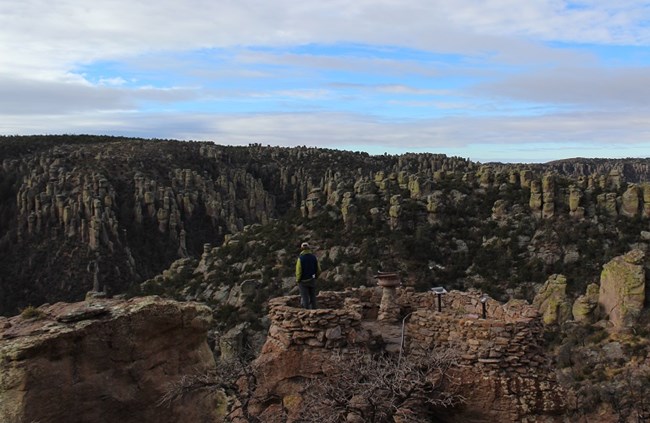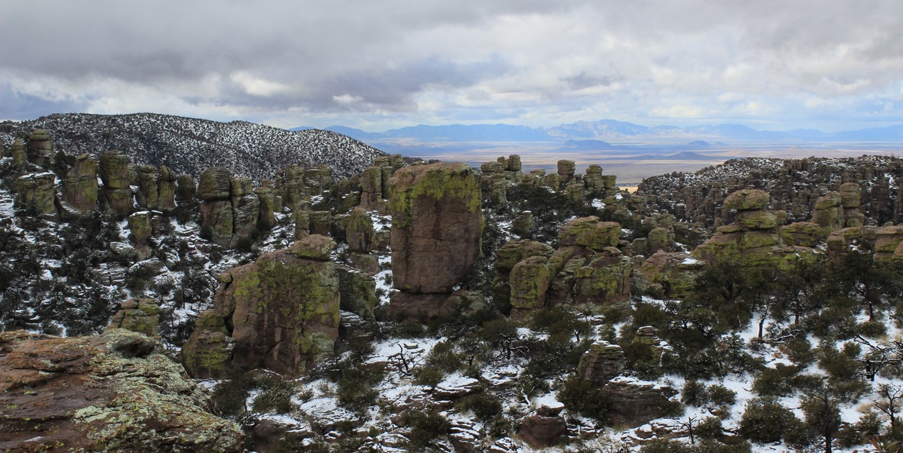
NPS In 1932, the US Forest Service began constructing what they called “Bonita Canyon Highway,” a road that travelled up Bonita Canyon and ended on Massai Plateau (6870 feet/2094 meters). When Chiricahua National Monument shifted from USFS control to the National Park Service, the 1934 Dedication Ceremony took place at Massai Point. Over 6000 people in 1000 parked cars filled the area to its seams. Civilian Conservation Corps (CCC) enrollees, who had been working in the monument, leveled the area and cleared it of vegetation. The enrollees also cooked a massive feast, which included 1,000 pounds of beans, several tons of beef, 1500 pounds of bread, and 150 pounds of coffee with 200 pounds of sugar. 
NPS 
NPS/ B. Salvail Who was Massai?The name “Massai Point” might be a misnomer. Early settlers in the Chiricahua Mountains often encountered Apaches who lived in the region. Sometimes the settlers confused the people they encountered with more famous Apaches, and that could be the case behind the naming of Massai Point.Massai was a Chiricahua Apache man who was born in the Mescal Mountains, near present-day Globe, Arizona. For awhile, Massai was associated with Geronimo and the Warm Springs Apaches, but after he married, he moved his family to the San Carlos Reservation, in the 1870s. Massai was a scout with Captain Emmet Crawford (3rd Cavalry), who was killed in 1886 in Mexico, while tracking Geronimo. When the US government decided to forcibly remove the Chiricahua and Warm Springs Apaches to Florida, Massai and his family were on the train, despite serving the United States Army. As the train was slowly moving up a steep hill in Missouri, Massai and one of his friends decided to jump off the train and make their way home. They finally reached the Mescal Mountains of Arizona in the fall of 1887. On White Mountain, Massai realized he would never see his family again, and he took a young Mescalero Apache woman, Zanagoliche, who he eventually married. Massai and Zanagoliche lived in the Mescal Mountains, and raised their family there. During this time (the late 1880s and early 1890s), Massai was accused by local settlers of crimes and raids he did not commit. Perhaps it was one of these false accusations that lead to Massai Point in the Chiricahua Mountains being named for him. According to most accounts, Massai was killed between 1906 and 1907, by settlers and/or soldiers. Chiricahua ConnectionNeil Erickson, an early Swedish settler in the Chiricahua Mountains, recounted a story that in 1890 his neighbor, Ja Hu Stafford, had a horse stolen from him by “Big Foot” Massai. Neil, his brother John, Stafford, and Louis Prue, along with some soldiers from Fort Bowie, followed horse and human tracks up Bonita Canyon and over Whitetail Pass. Whoever the settlers and soldiers were tracking was never found, although Stafford’s horse was later caught in the Pinaleño Mountains, northwest of the Chiricahua Mountains. Later, the settlers learned that Massai and his wife had returned to a reservation, and perhaps assumed the person they were tracking was the well-known Massai.Regardless of the accuracy of Neil’s story, the Riggs family requested that this high point be named in honor of Massai. References: Apache Voices, by Sherry Robinson A Portal to Paradise, by Alden Hayes A Pioneer Log Cabin in Bonita Canyon, by Dewey Livingston Archival material at the Western Archeological and Conservation Center (WACC) |
Last updated: February 9, 2019
