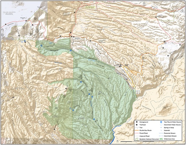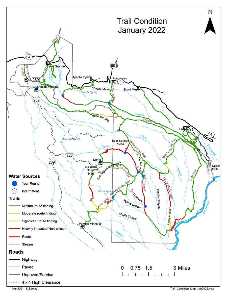
NPS Within Bandelier's 33,000 acres there are over 70 miles of trail. Some trails are short easy loops while others can encompass many miles and steep rocky switchbacks. There are even several trails suitable for cross-country skiing or snowshoeing in the winter. Longer backcountry trails often involve hiking more than 12 miles round-trip. Wilderness permits are required and are available at the visitor center for overnight stays in the park's backcountry. Water is not readily available on most backcountry trails. Please check at the visitor center for current conditions before hiking in the backcountry. Pets, bicycles, and pack animals are not permitted on any park trails. 
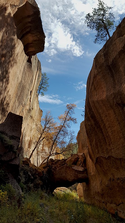
photo by sally king 
NPS image
Download detailed park map here.
|
Last updated: March 19, 2024
