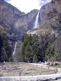
NPS Photo May 4, 2005 Scoping now open Rehabilitation of the Yosemite Valley Loop Road Environmental Assessment Comments due by June 1, 2005 Yosemite National Park is planning to repair and improve the Northside and Southside Drives. The existing road surface and culvert system are in very poor condition. User-designated, unauthorized roadside parking is also becoming a problem as it impacts roadside vegetation. This proposed project would repair and resurface existing road pavement, drainage structures, and define roadside parking throughout the project area. No widening or realignment of the roadway, off of the existing road bench, would be undertaken. There are no proposed changes in parking capacity. Public participation in the planning process is critical. Here are some ways to stay involved in the Rehabilitation of the Yosemite Valley Loop Road Environmental Assessment process:
Mail: Superintendent For more information regarding this and other projects occurring in Yosemite National Park, visit www.nps.gov/yose/planning. Most of the results for the May 1 snow survey are in, and the unsettled weather last month prevented much melt, particularly at the higher elevations. Some of the courses were only losing one inch per week. The pack is now 179 percent of average for May 1st in the Tuolumne drainage and 187 percent of average for the Merced drainage. This is about halfway between the record snowpack (in 1983) and long-term average. Some examples of the current snow depth include:
The snowpack generally loses about an inch per day this time of year, which increases to up to 2 inches per day when longer days and higher temperatures occur in summer. You can view progress of the park's road crews as they plow the Tioga and Glacier Point Roads at www.nps.gov/yose/now/tioga.htm. |
Last updated: March 1, 2015
