
NPS Photo Shrouded by a light fog as an early morning high tide rises over vast salt marshes, a lone kayaker slowly moves with the current on the St. Johns River. Ahead of the kayak an osprey dives into a school of finger mullet and snares one in its talons, barely rippling the water’s mirror-like surface. The only sounds are those of nature; sounds familiar to Timucuan Indians, sounds of birds, of the wind blowing through the marsh grasses, and the water lapping against the shore. Four rivers and their salt marshes plus several barrier islands create the perfect location in northeast Florida for exceptional coastal saltwater paddling. The trails along the Florida Sea Islands Paddling Trail will give you an opportunity to enjoy the tranquility of estuaries and tidal creeks, observe a vast array of birds and wildlife, learn the history of early cultures and settlement of this region and most importantly, relax and appreciate the interplay of water, light and land. The paddling trails are located in the Timucuan Trail State and National Parks. MapsTimucuan Trail areas are also listed as part of the Florida Circumnavigational Saltwater Paddling Trail. Visit the Jacksonville Intracoastal Salt Marsh Paddling Trail. 
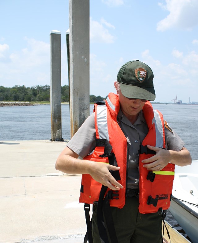
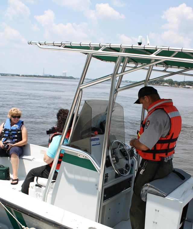
NPS Photo KayakingThe most rapidly growing water- sport in Florida is kayak paddling and after you have tried it you can easily see why. Compared to canoes, kayaks are easier to paddle, have less wind resistance, and glide gracefully through the water. Contrary to popular belief; kayaks are not easy to tip over, they have comfortable seats, and offer an extremely dry ride. Over three quarters of the Timucuan Preserve’s 46,000 acres is salt marsh estuary. These flooded marine grasslands are a true wilderness area with miles upon miles of endless meandering creeks teeming with wildlife. No other watercraft gives you the stealth, stability, and security needed to explore this wilderness, as does a kayak. In a kayak you can view wildlife in a quiet, non threatening way. Kayaking is an ecologically low impacting recreational activity heartily endorsed by the Timucuan Preserve. Paddling a kayak is excellent exercise and provides one of the best opportunities for bonding with nature; a true Timucuan Preserve experience. Currents & TidesAsk any veteran salt marsh kayaker what’s the most important thing you need to know in order to have a good time paddling in the estuary, and most will say “Understanding the tides.” In order to safely navigate Timucuan’s waterways you must have some knowledge of currents and tides. Tide forecasts may be found in local newspapers or television weather reports, or on NOAA weather radio. But just knowing the times of a day’s tide stages is not enough. Tides rise and fall every six hours creating an environment that is constantly in motion. Once you learn to predict this natural cycle your enjoyment of our inshore waters will be limitless. Safety Equipment and PrecautionsBefore you go paddling make sure your kayak is in good working order. Are all the screws tight, bulkhead covers secure, rudder and foot controls responsive? Be sure to carry basic safety equipment and know how to use it correctly. Always leave a float plan with some one prior to going paddling. Do not go any where in the Preserve without a map.
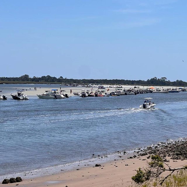
Public Launch SitesAlimacani Boat Ramp: located off Heckscher Dr. near Ft. George Inlet bridge, next to Bootleggers Resturant. Access to Ft. George River; no fee. Adaptive Launch SitesThe City of Jacksonville has 3 adaptive kayak launches located at: Suggested Paddling TrailsSimpson Creek Bridge to Alimacani: 2 -3 hour long one -way paddle, follows a dropping tide to Alimacani Ramp. A shuttle is needed to get back to Simpson Creek Ramp because currents are too strong for a return. Safety on the Water
|
Last updated: July 23, 2024