Last updated: September 10, 2025
Thing to Do
Blacktail Deer Creek to Yellowstone River Trail
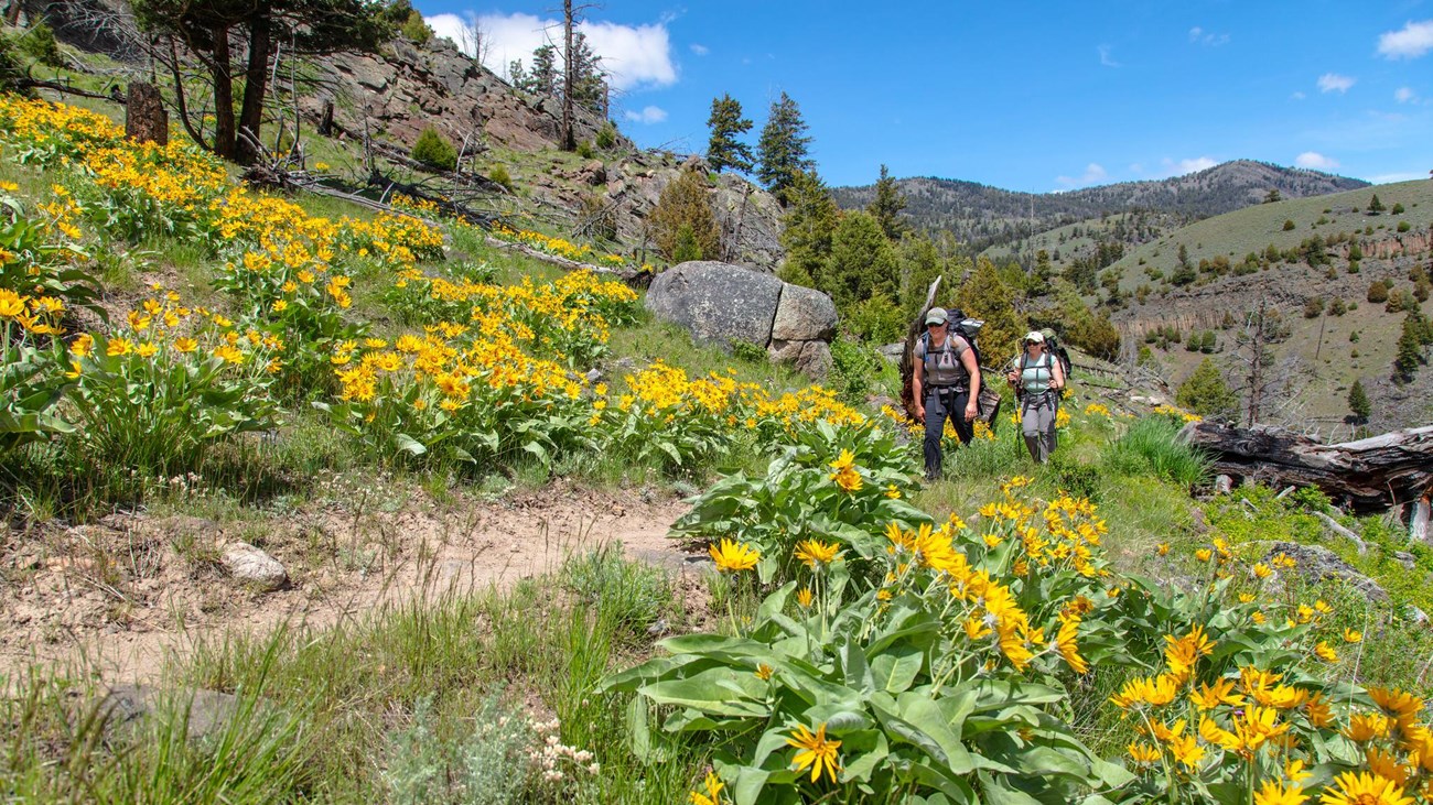
NPS / Jacob W. Frank
Follow Blacktail Deer Creek as it descends 1,100 feet (335 m) through rolling, grassy hills and Douglas-fir forest to a suspension bridge over the Yellowstone River. Return the same way.
Safety notes: Trail frequented by horseback-riders.
Trailhead: 7 miles (11.3 km) east of Mammoth on the Grand Loop Road.
Details
Duration
4-5 Hours
This is a 7.4-mile (11.8-kilometer) there-and-back trail that begins and ends at the same trailhead.
Activity
Hiking
Strenuous hike with a drop in elevation of 1,100 feet.
Pets Allowed
No
Activity Fee
No
Entrance fees may apply, see Fees & Passes information.
Location
East of Mammoth Hot Springs
7 miles (11.3 km) east of Mammoth on the Grand Loop Road.
Reservations
No
Season
Spring, Summer, Fall
Time of Day
Any Time
Accessibility Information
More on Day Hikes in Yellowstone
-
 Yellowstone Backcountry Situation Report
Current conditions for Yellowstone National Park trails and campsites.
-
 Wildlife Safety
Learn how to help keep yourself, and the wildlife you encounter, safe.
-
 Yellowstone Day Hikes
Lace up your boots and explore some of the over 1,000 miles of trails in Yellowstone National Park.