... As I took in the scene, I realized my own littleness, my helplessness, my dread exposure to destruction, my inability to cope with or even comprehend the mighty architecture of nature.... Nathaniel P. Langford, 1870
Thing to Do
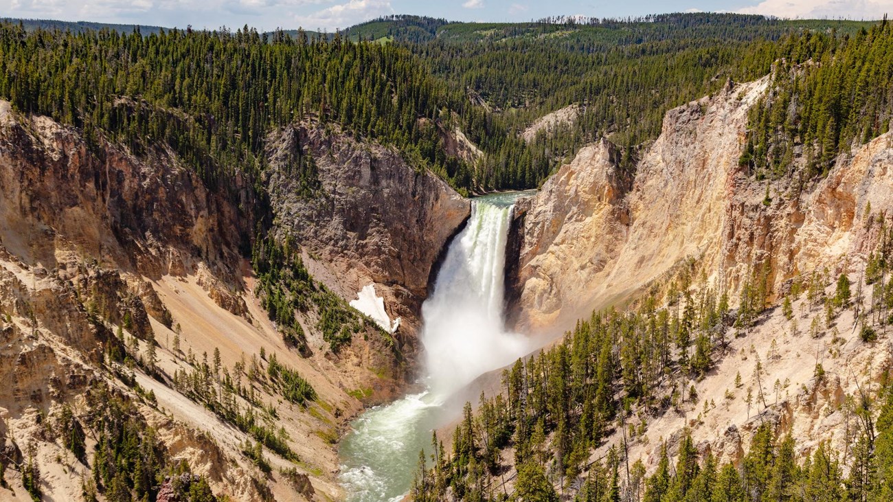
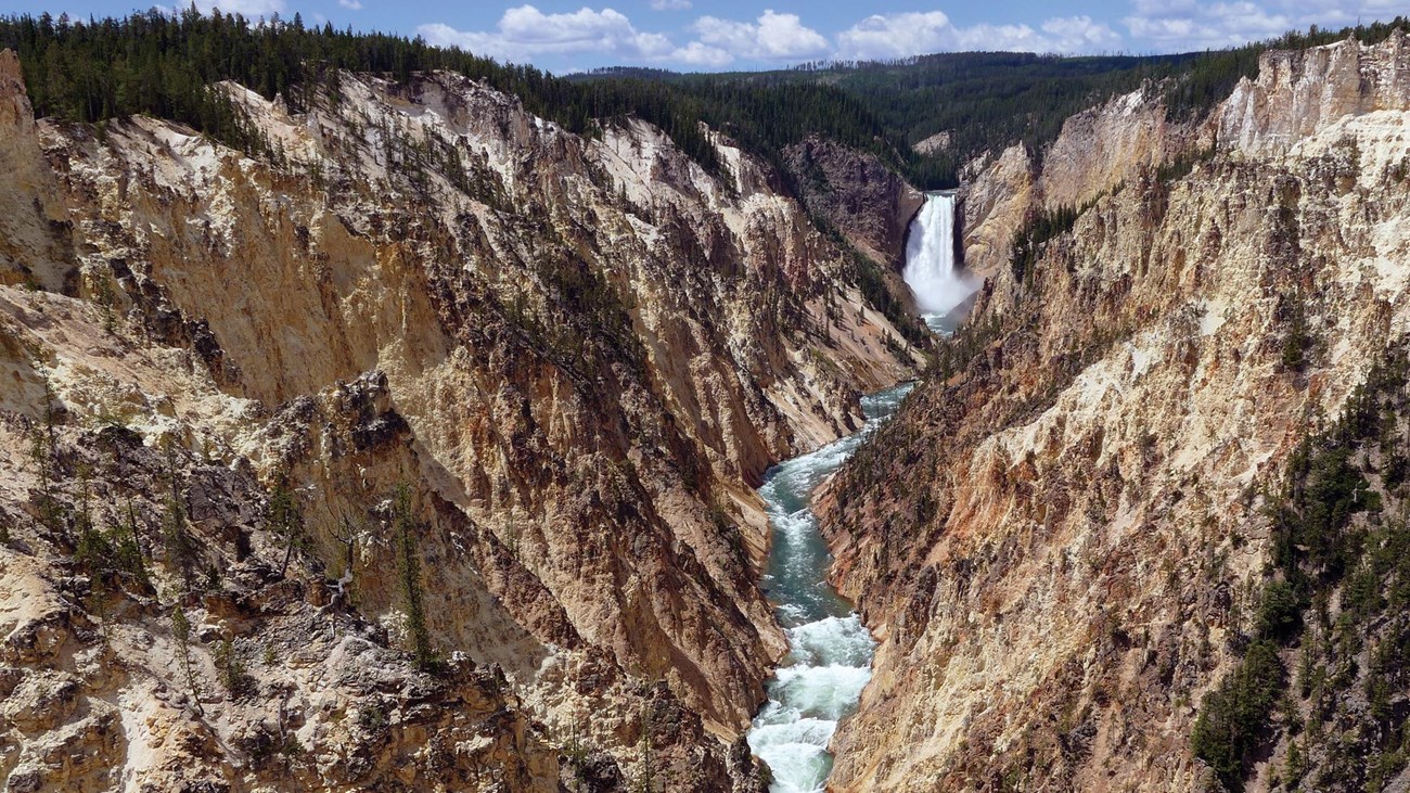
Grand Canyon of the Yellowstone
NPS / Jacob W. Frank
The Grand Canyon of the Yellowstone River expresses the park's complex geologic history in dramatic colors and shapes. Puffs of steam mark hydrothermal features in the canyon's walls. The Upper and Lower Falls of the Yellowstone River add to the grandeur of the unique natural treasure.
Experience the canyon from a variety of overlooks, at different times of day, and at different seasons. A number of trails and walkways wind along the rims and down partway into the canyon.
Check out the hike details and accessibility information at the bottom of this page.
Details
Duration
1-2 Hours
Activity
Front-Country Hiking
Pets Allowed
No
Pets are only allowed in the parking areas.
Activity Fee
No
Entrance fees may apply, see Fees & Passes information.
Location
Canyon Village
The Grand Canyon of the Yellowstone River is located south of Canyon Village, and is accessible by car via the North Rim Drive, South Rim Drive, and Brink of the Upper Falls Drive. There is also a hiking trail from the Canyon Lodge area out to the North Rim.
Reservations
No
Season
Year Round
Parts of the Grand Canyon are accessible via snowmobile and guided snow coach trips in the winter.
Time of Day
Any Time
Accessibility Information
Most of the trails along both rims have step grades or stairs.
Because of the amount of vertical descent (and returning ascent), these trails are not recommended for visitors with heart, lungs, or other health conditions:
- Brink of the Lower Falls Trail
- Red Rock Points Trail
These locations meet wheelchair accessibility standards:
- Sidewalk along the Brink of the Lower Falls parking lot
- Sidewalk from Lookout Point parking lot to Grand View parking lot
- Sidewalk out to the second viewing area at Artist Point

NPS
The Canyon Through Time
About 630,000 years ago, a huge volcanic eruption occurred in Yellowstone, emptying a large underground chamber of magma (partially molten rock). Volcanic ash spread for thousands of miles. The roof of this chamber slowly collapsed, forming a giant caldera 30 miles (45 km) across, 45 miles (75 km) long. The caldera began to fill with lava and sediments. Infilling of lava flows continued for hundreds and thousands of years.
Scientists think the oldest Grand Canyon of the Yellowstone formed in rock and sediments about 160,000 to 140,000 years ago. This paleocanyon was not as deep, wide or long as the canyon you see now.
Past and current hydrothermal activity altered and weakened the rhyolite, making the rocks softer. The Yellowstone River eroded these weakened rocks to deepen and widen the canyon, a process that continues today. The current canyon begins at Lower Falls and ends downstream from Tower Fall.
The 308-foot (93 m) Lower Falls may have formed because the river flows over volcanic rock more resistant to erosion than the downstream rocks, which are hydrothermally altered. The 109-foot (33 m) Upper Falls flows over similar rocks. The large rocks upstream from Upper Falls are remnants of a lava flow resistant to erosion.
The multi-hued rocks of the canyon result from the hydrothermally altered rhyolite and sediments. Look closely at dark orange, brown, and green areas near the river for still-active hydrothermal features. Their activity—and that of water, wind, and earthquakes—continue to sculpt the canyon.

NPS/Jim Peaco
Wildlife on the Pinnacles
Look carefully among the rugged pinnacles—you may see a flash of wings or a thick pile of sticks. Soaring over the Yellowstone River or perched on their nests, osprey intrigue and delight those who spot them. Six to ten osprey nests are usually occupied in the portion of the canyon near the Canyon Village developed area.
Adult osprey migrate here between mid-April and early May. Within a few weeks, osprey pairs have mated, the female has laid a clutch of two to four tan eggs with brown specks, and incubation has begun. The eggs hatch in about six to eight weeks.
Osprey chicks are born featherless, and need much care. They must be sheltered from heat and cold and fed small amounts of fish often. After one week, the young are covered with downy feathers. After three weeks, their plumage resembles that of an adult but with speckles of white at the edge of each feather.
By mid- to late August, the young are nearly the size of their parents and become increasingly independent. Typically, the entire family abandons the canyon by September, probably perching in trees nearer to the waters where they catch fish.
With binoculars, patience, and a little luck, you may be able to spot an osprey tending a nest or snagging a fish.
Grand Canyon of the Yellowstone Photos
Explore the various sights and overlooks along the rims of the Grand Canyon of the Yellowstone River.
Driving the Rims
North Rim Drive begins 1.2 miles (1.9 km) south of Canyon Junction. This one-way road takes you to four accessible views of the canyon, each featuring a different aspect of the canyon’s power, color, and geology. At Brink of Lower Falls, glimpse Lower Falls and Upper Falls from paved accessible trails at the top or descend the steep Brink Trail to witness the Lower Falls’ power. View Lower Falls again from Lookout, and see it again from a distance at Inspiration Point. Grand View offers spectacular views of the canyon and river.
The spur road to Brink of Upper Falls is 1.6 miles (2.6 km) south of Canyon Junction on the Grand Loop Road. Follow the paved path to a dramatic vantage point for viewing the Yellowstone River as plunges over Upper Falls.
South Rim Drive begins 2.3 miles (3.7 km) south of Canyon Junction and leads you to views of Upper Falls at Upper Falls Viewpoints and of Lower Falls and the canyon at Artist Point.
More on Hikes in Yellowstone
-
 Yellowstone Backcountry Situation Report
Current conditions for Yellowstone National Park trails & campsites.
-
 Safety in Yellowstone
Prepare yourself to safely enjoy wildlife, hydrothermal areas, and other features of Yellowstone National Park.
-
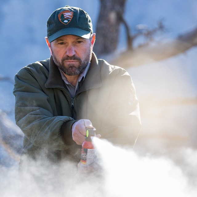 Bear Spray
Read about this highly effective bear deterrent.
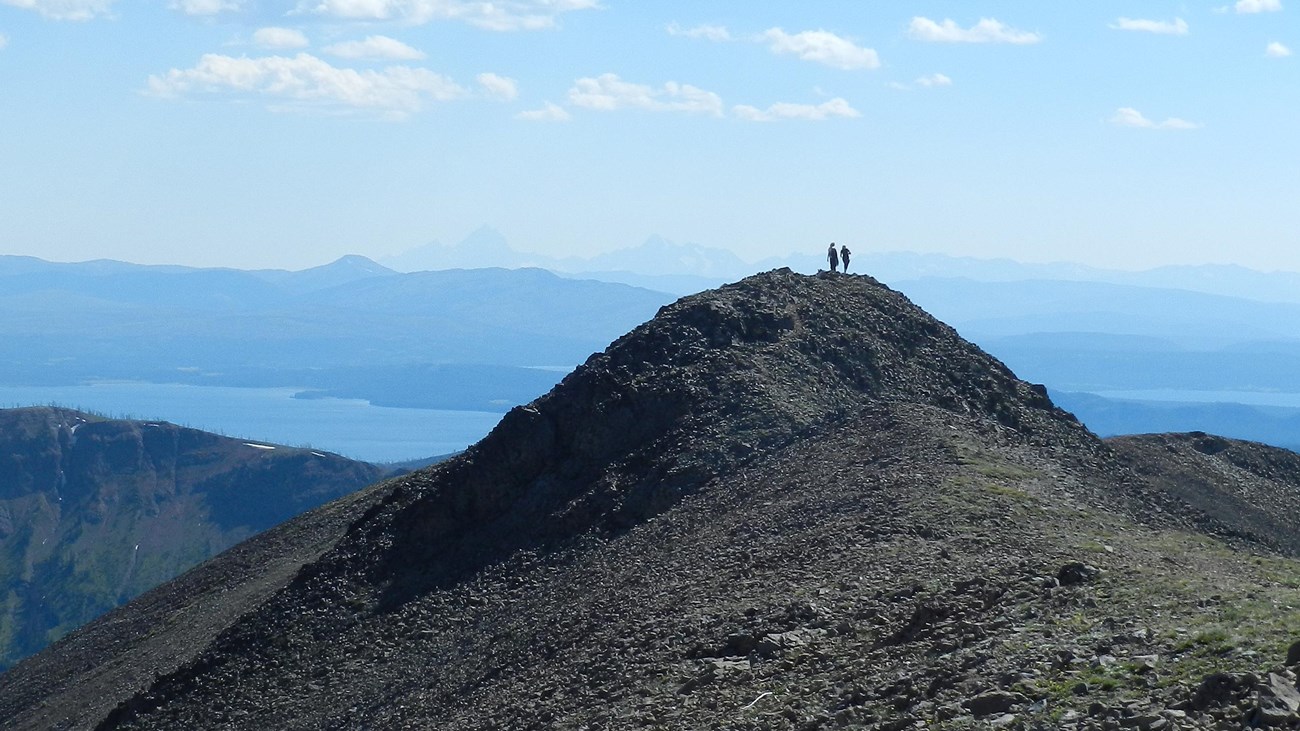
Yellowstone Day Hikes
Lace up your boots and explore some of the over 1,000 miles of trails in Yellowstone National Park.
Last updated: February 15, 2024