Last updated: April 3, 2022
Thing to Do
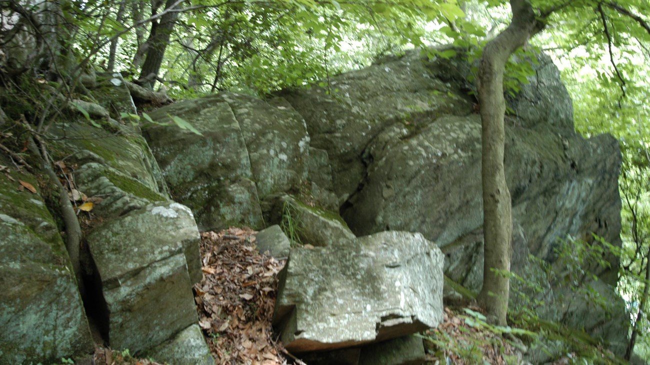
Hike the Southern Loop in Rock Creek Park
NPS Photo
The southern loop in Rock Creek Park provides visitors with numerous options to enjoy the southern portion of the main reservation of Rock Creek Park.
Start your trip at Picnic Grove #13 and walk towards the trailhead for the Western Ridge Trail. Use caution as you will have to cross Grant Road NW, which is open to vehicular traffic.
The Western Ridge Trail occasionally joins or comes close to the White Horse Trail. Visitors can choose to walk along the bridle trail (which is wider and flatter generally) or stay on the foot trail.
The Western Ridge Trail will come out at the intersection of Beach Drive and Broad Branch Road NW. Visitors have a choice of how to navigate the second half of the loop.
Option #1: Return via the Black Horse Trail. This trail will run along and above Rock Creek from Broad Branch Road NW all the way to Joyce Road NW.
Option #2: Return via the Roosevelt Spur over Pulpit Rock and the Valley Trail. This trail is narrow and rugged, with a steep elevation change over Pulpit Rock. This challenging trail will take park visitors along the edge of the creek and past the site of the former Blagden/Argyle Mill. The Valley Trail is on the opposite side of Beach Drive NW from Rock Creek, meaning creek views (and the noise from the creek) will be few and far between, but you will have an opportunity to see iconic Boulder Bridge. The Valley Trail will terminate just behind the District #3 Substation near the intersection of Beach Drive NW and Joyce Road NW.
Option #3: On Saturdays, Sundays and Holidays visitors might choose to enjoy an easy stroll along Beach Drive NW. The road is closed to automobiles and is a family-friendly, accessible way to complete the Southern Loop. This method of return will allow visitors to walk beside the creek on a surface with no hazards and little to no elevation change. Beach Drive is open to vehicular traffic beyond the gates at the District #3 Substation.
Visitors can choose to return to the Rock Creek Park Nature Center and their vehicles at Picnic Grove #13 by turning up the White Horse Trail at Picnic Grove #22 or by continuing under the Military Road NW overpass and using Bike Trail #3 or the Fort DeRussy Trail.
Details
Duration
120 Minutes
Activity
Hiking
This trail provides a relatively easy walk across the Western Ridge down to Rock Creek. The return trip provides options for park visitors--an easy paved option available on weekends and holidays, a slightly more challenging walk along one of the bridle trails and the most challenging option up and over Pulpit Rock.
Pets Allowed
Yes
Pets are allowed on trails within Rock Creek Park but must adhere to the B.A.R.K. Ranger Principles. Dogs must always be on a leash within the park. Waste must be carried out and disposed of in trash receptacles.
For more information on B.A.R.K. Ranger visit the Pets section of the National Park Service web site.
For more information on B.A.R.K. Ranger visit the Pets section of the National Park Service web site.
Activity Fee
No
Entrance fees may apply, see Fees & Passes information.
Location
Rock Creek Park
This trail can be started from several locations, though the directions for this particular hike begin at Picnic Grove #13 which has ample parking and easy access to the trail head.
Reservations
No
Season
Year Round
The trail is accessible year round though winter storms may deposit ice and snow on the trail making it difficult to ascend or descend the steeper sections of the trail.
Fort DeRussy and Miller Cabin will be more visible in the late autumn, winter and early spring when there is less vegetation. Please stay off of the earthworks of Fort DeRussy to help preserve them.
Storms in the spring and summer can cause the creek to rise quickly. It can deposit sand and mud at the fort making the old roadway hazardous. Use caution---do not enter flood waters.
Time of Day
Day
Rock Creek Park is only open during daylight hours.
Accessibility Information
Some options for the Southern Loop are more accessible than others. Portions of the trail rated for foot traffic only will be narrow (4 feet wide at most) and have many roots and rocks crossing the packed dirt trail.
Sections of the trail that join with the bridle trails will be wider (up to 8 feet in width) which are flatter and have less debris. These trails will have elevation changes that some may find challenging.
The last option is the most accessible and is available on Saturdays, Sundays and Holidays when the road is closed to vehicular traffic. Using Beach Drive NW is the most accessible return route and provides a wide, flat and relatively elevation free way to navigate the park.