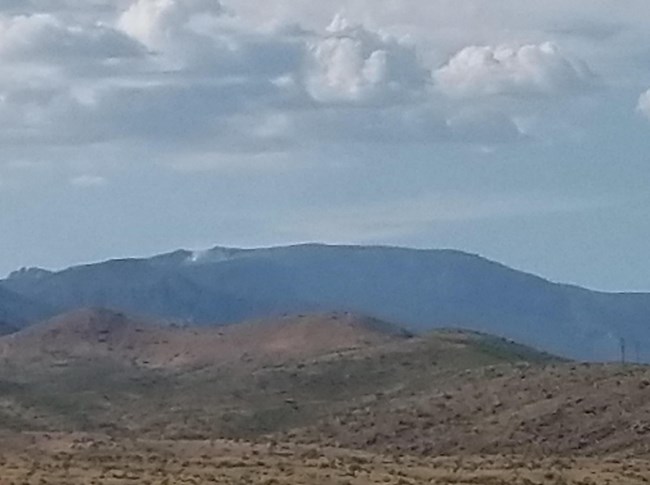
For current fire conditions and updates for the Spud Rock Fire visit: https://inciweb.nwcg.gov/incident/6969/ The Mica Bowl Fire was reported on August 14 at approximately 9 a.m. It is estimated to be approximately 24 acres as of August 18. It is located east of the Arizona Trail, below the northern-most section of the Fire Loop Trail. For current conditions on the Mica Bowl Fire visit https://inciweb.nwcg.gov/incident/6970/ While all trails and campgrounds are open at this time, hikers should use extra caution and stay on the trail when hiking through burned areas. There may still be some fire burning, including within stump holes causing weak and unstable ground which may be difficult to identify. Trails may be slick with fallen pine needles or ash and some fire weakened trees may still fall. Watch for flash flooding, rolling debris and erosion during rain events. It is also possible that smoke may settle into low areas overnight, including within campgrounds. Visit our Current Conditions page for a full listing of closures associated with the fires. Backcountry hikers and campers should be aware of their surroundings and are also encouraged to check Recreation.gov for campground closure information prior to departing the trailhead. Fire Information
Saguaro National Park 24-hr Fire Info Hotline (recorded message): (520) 733-5150
Fire Information on Inciweb Arizona Fire Information Southwest Coordination Center Fire Information (Saguaro National Park = AZ-SAP) Maps Maps & Wildland Fire Data in Google Earth National Fire Information NPS Fire and Aviation Facebook page

Wildfire Prevention
Tips for Enjoying the Outdoors Safely During Fire Season One Less Spark Means One Less Wildfire
|
Last updated: May 6, 2025
