Last updated: November 23, 2022
Place
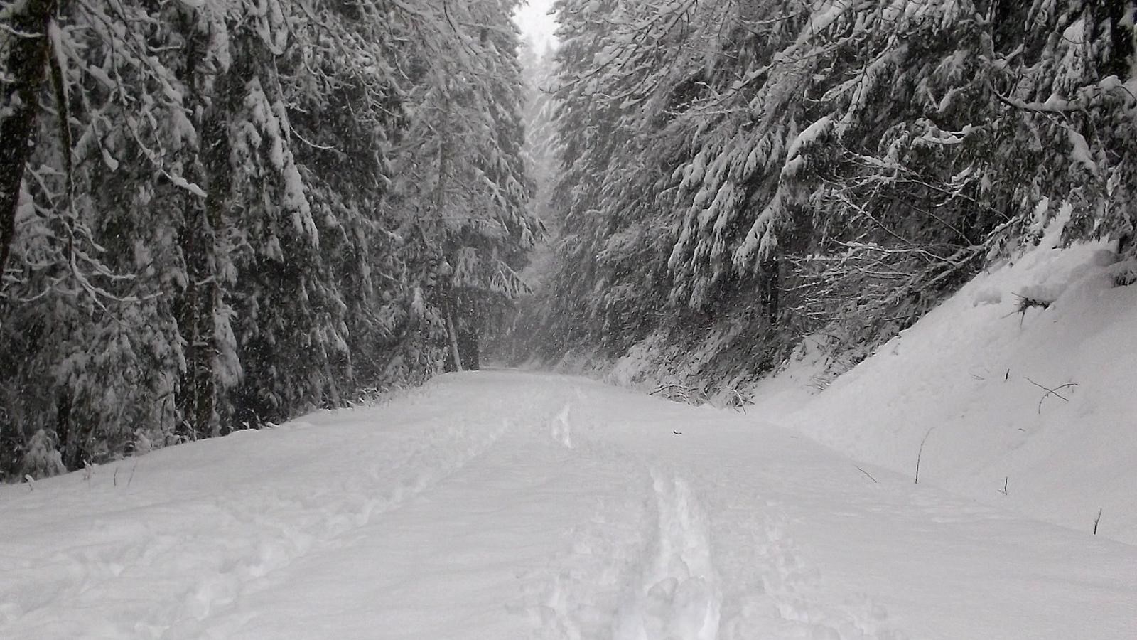
Westside Road: Winter Trailhead

NPS/A. Spillane Photo
Parking - Auto, Trailhead
Season: Winter Only (November-April)
Westside Road is closed to vehicles during the winter season at the junction with the main Nisqually-Longmire Road. During the summer, Westside Road is open to the Dry Creek Trailhead, typically May-November. Westside Road is one mile from the Nisqually Entrance, in the southwest corner of the park.
Westside Road was originally envisioned as part of an “around-the-mountain” network of roads encircling Mount Rainier but was never completed. Frequent flooding and debris flows by Tahoma Creek closed all but the first three miles of the road to vehicles. There is a small parking area at Dry Creek at the end of this three-mile section for vehicles to park at during the summer, but in winter the entire road is closed to vehicles. At the winter trailhead, vehicles can park on either side of the turnoff to Westside Road, but do not park in front of the closed gate and block access for emergency vehicles. Pets are not permitted on Westside Road. There are no restroom facilities along Westside Road. The closest comfort station is at Kautz Creek, approximately 2.4 miles from Westside Road along the main road to Longmire.
From the winter access trailhead, the road gradually climbs approximately 670 feet over three miles through the forested Tahoma Creek valley to reach the Dry Creek summer trailhead. The hillsides along the road can have numerous ephemeral waterfalls in spring as the snow melts. Depending on snow levels, this portion of the road is suitable for hiking, snowshoeing, and cross-country skiing.
Traveling beyond Dry Creek requires experience with avalanche terrain and winter navigation. Just past Dry Creek is an area with a high risk of avalanches and rock fall. From Dry Creek, the gravel road climbs to Round Pass, descends into the South Puyallup River Valley, then climbs to Klapatche Point, where the road terminates. From Dry Creek to Klapatche Pass, the road is 9.25 miles long with an elevation change of approximately 2,100 feet. The Westside Road: Dry Creek Trailhead page has more information about hiking trailheads located along the road.
Bicycling
Westside Road is one of only two roads closed to vehicles that remains open to bicycling. The other former road open to bicycling is the Carbon River Trail, in the northwest corner of the park. Only E-bikes possessing a motor of less than 750 watts (1 h.p) on which the motor only assists with pedal propulsion are permitted. Bicycles are not allowed on any trails. All trailheads along the road have bicycle racks.
