



Last updated: July 9, 2026
Place
Rocky Ridge - Willie Rescue Site
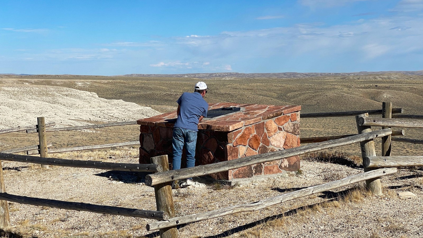
Photo/L. Kreutzer
Quick Facts
Location:
Rocky Ridge is a trail segment with multiple sites, about 10 miles southwest of Sweetwater Station (intersection of WY-789 and WY-135. The 15-mile, historic Rocky Ridge trail segment runs from the foot of the ridge on the east to Rock Creek Hollow on the west. It can be accessed from Hudson-Atlantic City Road, a 13-mile drive on unpaved roads of variable conditions. High-clearance, 4-wheel drive vehicles are advised, and parts of the trail are closed to motor vehicle traffic. Call the Lander Office of the Bureau of Land Management at 307-332-8400 for directions and information. The rugged Rocky Ridge ascent begins at the “lower monument” (42.470955 -108.409633), which commemorates the James G. Willie Handcart Company rescue in 1856. The climb continues 2 miles west to an “upper monument” (42.4628833 -108.43708333) for Rocky Ridge. From the lower monument to approximately .3 miles west of the upper monument, the trail is closed to motor vehicles but can be traversed on foot, horseback, or bicycle. At the west end of the 15-mile segment is Rock Creek Hollow (42.438730 -108.623262), an emigrant campground where monuments memorialize the company’s ordeal on this stretch of trail. To go directly to Rock Creek Hollow, drive south on WY-28 for 23.3 miles from the junction of WY-28 and US-287. Turn left at the sign for Rock Creek Hollow to enter unpaved Winter Rd and follow the signs 10.8 miles to the site. Drive 25 mph or less to avoid puncturing tires on sharp rocks. The grounds are open year-round but may be inaccessible in winter.
Significance:
Rough and rugged Rocky Ridge, described in many emigrant journals, presented one of the most difficult stretches on the central overland trails. The Willie Handcart Company of emigrants from The Church of Jesus Christ of Latter-day Saints endured terrible sufferings while crossing this segment of trail during severe weather in October 1856.
Designation:
Historic site on the California, Mormon Pioneer, Oregon, and Pony Express NHTs.
Amenities
2 listed
Information, Scenic View/Photo Spot
Rocky Ridge posed a rough, challenging climb—a 500-plus-foot rise across several up-and-down miles, crossing a surface corduroyed with parallel rows of jagged rock. Forty-niner Peter Decker described these rows as “curious rocky riffles…sticking out bristling toward the West, one to 2 ft high,” which had to be crossed at a right angle. The bluff was “ragged and rough to a degree that seriously threatened the continued existence of wagon wheels,” wrote Oregon-bound Randall Hewitt in 1862. And the wind! At the 7,200-foot summit, gales blasted travelers with grit and sand.
Rocky Ridge is best known for the sufferings endured there by the Willie Handcart Company of Latter-day Saint pioneers. These 400 emigrants, recently arrived from Europe, pushed and pulled loaded handcarts over the ridge during a storm on Oct. 23, 1856. Bitter wind slapped snow into their faces, pierced their quilts and worn clothing, and froze hands and feet. Some people collapsed beside the trail, unable to take another step. Rescuers and other members of the company piled the weakest emigrants into wagons where, Levi Savage observed, they were “so thickly stoed, I was fearful, some would smuther.”
The emigrants halted for the night at Rock Creek Hollow* after 13 to 16 miles of travel under brutal conditions. “Few tents were pitched, and men, women, and children sat shivering with cold around their small fires,” wrote Savage. ”It was certainly heart rending to hear children crying for mothers and mothers crying for children.” The last of the straggling handcarts and sick-wagons rolled into camp at 5 a.m., at least 20 hours after starting out. Thirteen people died during this ordeal and 2 more the next day. They lie in a common grave in the area, where monuments mark their burial place. With the help of rescuers, survivors entered Salt Lake City on Nov. 9, 1856. Many of their accounts, compiled by researcher Jolene Allphin, can be found at www.tellmystorytoo.com. Learn more about the handcart experience at the Sixth Crossing Visitors’ Center, ½ mile east of Sweetwater Station on WY-789. *Researchers’ evidence for the hollow as the company’s Oct. 23 campsite is evaluated at https://www.tellmystorytoo.com/downloads/rock_creek_hollow.pdf. This link is posted with permission from Ensign Peak Foundation (formerly Mormon Historic Sites Foundation) and Latter-day Saint Historical Studies (formerly Mormon Historical Studies). Cover art Redick Allred in Stationed at South Pass. Courtesy Julie Rogers.
Site Information
Location (Rocky Ridge is a trail segment with multiple sites, about 10 miles southwest of Sweetwater Station (intersection of WY-789 and WY-135. The 15-mile, historic Rocky Ridge trail segment runs from the foot of the ridge on the east to Rock Creek Hollow on the west. It can be accessed from Hudson-Atlantic City Road, a 13-mile drive on unpaved roads of variable conditions. High-clearance, 4-wheel drive vehicles are advised, and parts of the trail are closed to motor vehicle traffic. Call the Lander Office of the Bureau of Land Management at 307-332-8400 for directions and information. The rugged Rocky Ridge ascent begins at the “lower monument” (42.470955 -108.409633), which commemorates the James G. Willie Handcart Company rescue in 1856. The climb continues 2 miles west to an “upper monument” (42.4628833 -108.43708333) for Rocky Ridge. From the lower monument to approximately .3 miles west of the upper monument, the trail is closed to motor vehicles but can be traversed on foot, horseback, or bicycle. At the west end of the 15-mile segment is Rock Creek Hollow (42.438730 -108.623262), an emigrant campground where monuments memorialize the company’s ordeal on this stretch of trail. To go directly to Rock Creek Hollow, drive south on WY-28 for 23.3 miles from the junction of WY-28 and US-287. Turn left at the sign for Rock Creek Hollow to enter unpaved Winter Rd and follow the signs 10.8 miles to the site. Drive 25 mph or less to avoid puncturing tires on sharp rocks. The grounds are open year-round but may be inaccessible in winter.)