Last updated: March 4, 2026
Long Distance Communication
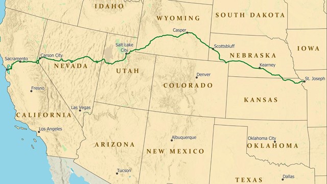
It is hard to believe that young men once rode horses to carry mail from Missouri to California in the unprecedented time of only 10 days. This relay system along the Pony Express National Historic Trail in eight states was the most direct and practical means of east-west communications before the telegraph. Read More

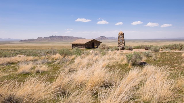
Planning a Trail Visit
Do you want to experience the trail? Learn more about where you can go, historic sites you can visit and more!
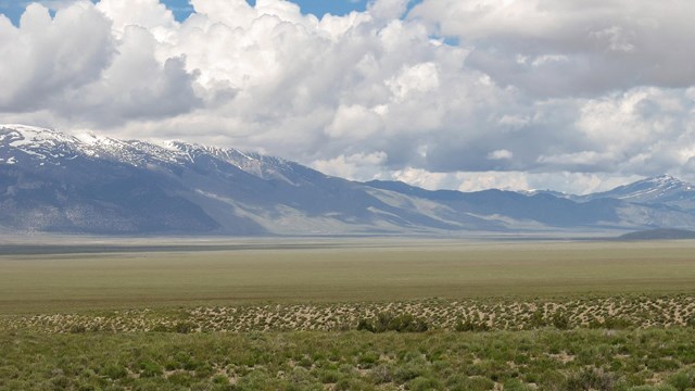
Where is this National Historic Trail?
Take a look at interactive, historic, and trip planning maps to learn more about locations along the trail.
What is an National Historic Trail?
Many folks wonder what a national historic trail actually is. Hear from trail staff about how we define these important parts of history.
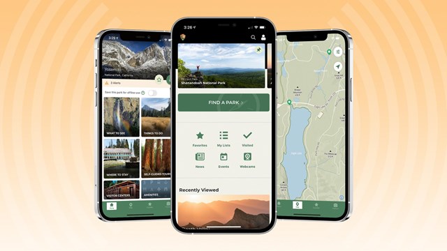
Connect with Us!
Connect on social media, explore deeper on mobile apps, watch videos, and check out other digital media!
NPEA Re-Ride
Annual recreation of the Pony Express in a Commemorative 10-day Re-Ride.