



Last updated: July 2, 2026
Place
Project Ryan Hill
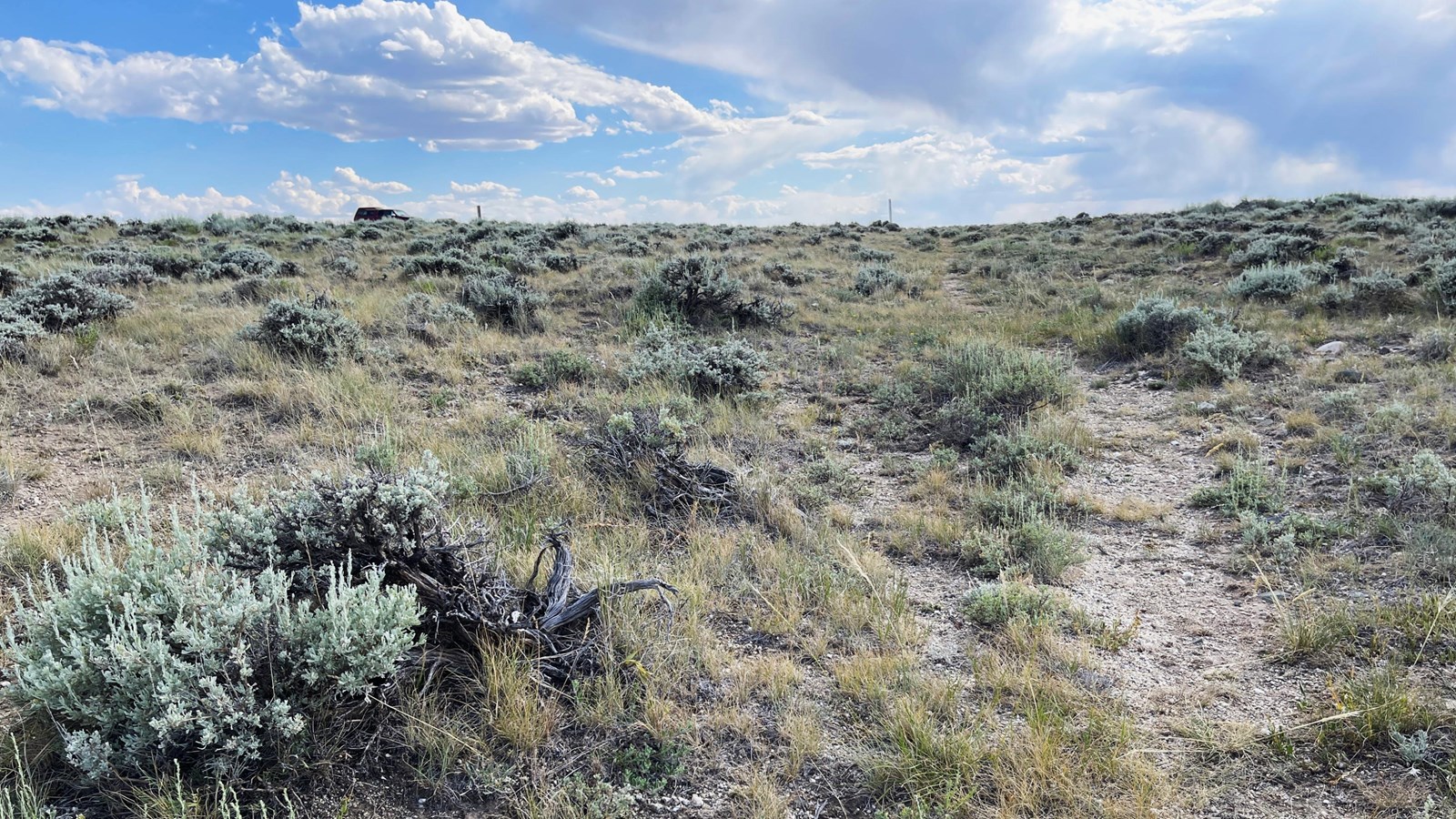
Photo/L. Kreutzer
Quick Facts
Location:
Drive west from Casper, WY, on Zero Rd/County Rd 202. In about 9 miles, Zero Rd curves southwest and becomes Poison Spider Rd. Four miles from the curve, turn left (south) onto County Rd 319/Oregon Trail Rd (unpaved). In 6.5 miles, Avenue of the Rocks is on the right. Continue 8.5 miles to Willow Springs, on the right. In another 1.3 miles, the road crests the edge of a flat plateau and curves to the right. Ahead, a faded sign on the right side of the road marks the site entrance. GPS 42.660379 -106.810177
Significance:
Prospect Hill, also called Ryan or Summit Hill, was a mile-long haul that gained 400 feet elevation along the hot and dusty trail. From its crest, emigrants could see the Sweetwater Range to the west.
Designation:
Historic site on the California, Oregon, Mormon Pioneer and Pony Express NHTs.
Amenities
3 listed
Parking - Auto, Parking - Bus/RV, Scenic View/Photo Spot
Continuing west from Willow Springs, emigrants faced a mile-long, 7.4 percent (7.5 feet elevation per 100 feet of horizontal distance) trudge through sagebrush to the top of a ridge. Travelers’ journals called the climb “long and tedious” and “a pretty hard drag,” but the view from the ridgetop earned rave reviews. Edwin Bryant wrote on July 7, 1846, that his company “mounted the summit of a dividing ridge, from which we had a view of the Sweetwater River Mountains, raising their bald rocky pinnacles at a distance of twenty or thirty miles.”
Joshua Breyfogle, who climbed “Summit Hill” on June 5, 1849, recorded in his journal, “Here is a beautiful view of the surrounding country, mountains all around and clouds below them, rising gradually screening them from sight.” It was this view of “a grand prospect of the surrounding country” that lends the site its name, according to forty-niner J. Goldsborough Bruff.
Today’s visitors can experience the same view from the summit of Prospect Hill (also called Ryan Hill), where the Bureau of Land Management has established an interpretive site with a loop turnaround. Look west from there to see the Pedro, Shirley, Seminoe, and Ferris mountains and the Sweetwater Rocks. The bases of four BLM wayside exhibits are also at the turnout, but the panels, deteriorated by years of exposure to sun and weather, have been removed. From either side of the interpretive circle, walk along original wagon ruts and swales, marked by white posts.
Site Information
Location (Drive west from Casper, WY, on Zero Rd/County Rd 202. In about 9 miles, Zero Rd curves southwest and becomes Poison Spider Rd. Four miles from the curve, turn left (south) onto County Rd 319/Oregon Trail Rd (unpaved). In 6.5 miles, Avenue of the Rocks is on the right. Continue 8.5 miles to Willow Springs, on the right. In another 1.3 miles, the road crests the edge of a flat plateau and curves to the right. Ahead, a faded sign on the right side of the road marks the site entrance. GPS 42.660379 -106.810177)